Availability is not tracked here yet
The site details and map below come from the public Recreation.gov record and are accurate. For current dates and to book, go to Recreation.gov.
About Indian Hollow
Overview
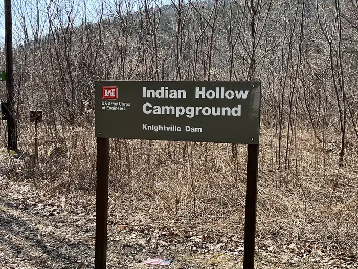
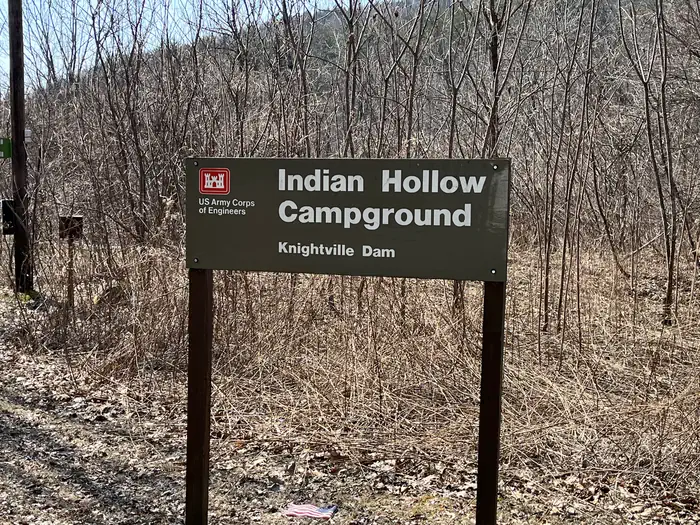
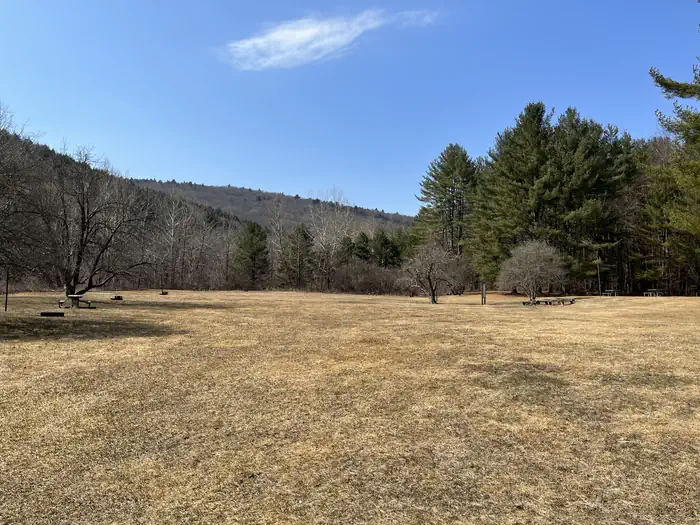
With abundant wildlife, lush scenery and waterfront views, Indian Hollow Group Campground, located at the Knightville Dam and Reservoir, offers groups and clubs a recreational oasis.
Recreation
The rivers and streams at Knightville offer excellent trout fishing, and the river is stocked with trout in both the spring and fall. The surrounding hills provide prime upland game habitat, and the Commonwealth of Massachusetts stocks pheasants for the fall hunting season. Hunting and fishing are permitted in the area in accordance with posted restrictions and Massachusetts laws. Visitors can enjoy hiking, mountain biking or horseback riding along several miles of trails and old country roads. Interpretive programs on the cultural and natural resources, water resources, water safety and flood control are provided by Park Rangers.
Facilities
Indian Hollow accommodates community groups such as schools, scouts and clubs. Flush toilets, showers and drinking water create a comfortable camping atmosphere.
Natural Features
In summertime the open areas of the river basin have spectacular blooms of wildflowers. These old fields attract many species of songbirds and butterflies. This area is within a Massachusetts Watchable Wildlife site, and visitors may catch a glimpse of deer, coyotes, beavers, grouse, turkeys or waterfowl while exploring the area. The area sits alongside the East Branch of the Westfield River, which is nationally recognized for its scenic qualities.
Nearby Attractions
The 2-mile long Claude M. Hill Horse Trail, which connects the campground to the Knightville Dam area, provides horseback riding and other non-motorized recreational opportunites. Chesterfield Gorge is a scenic natural feature along the Westfield River, approximately 4 miles upstream of the camping area. The East Branch Trail, a 6-mile hiking trail, follows the river from the Chesterfield Gorge to the Knightville Wildlife Magagement Area, and can be accessed from the campground.
Getting there
Driving directions to the campground: Address: 200 Indian Hollow Rd, Chesterfield, MA 01012 From intersection of State Route 143 and South Street in the center of Chesterfield, turn south on South Street. Follow for approx. 2 miles and turn right onto Indian Hollow Road. Follow Indian Hollow Road to the end, campground gate is at end of the road. For Key Pick-up / Drop-off: Address: 49 Knightville Dam Road, Huntington, MA 01050 From intersection of State Routes 66 and 112 in Huntington, head north on State Route 112. In 1/3 of a mile, turn right onto Knightville Dam Road. Dam office is located at the top of the hill at the end of the road.
View on Recreation.gov ↗ Get directions ↗
Photo gallery


FAQ
How do I get a reservation at Indian Hollow?
Online reservations for this facility, where offered, are made through Recreation.gov. Pick a site on the map to see its calendar, or set a free Campsite Sniper alert. You complete the reservation yourself on Recreation.gov.
Does Campsite Sniper book this campground for me?
No. Campsite Sniper sends alerts and direct Recreation.gov links. It never books, pays for, holds, hoards, or resells reservations.
How current is this availability data?
Campsite Sniper does not currently hold availability data for Indian Hollow, so there is nothing to date here. That is a gap in coverage — it does not mean the facility is full or closed. Check Recreation.gov for current dates.
Which sites at Indian Hollow fit a 35-foot RV?
1 of the 1 site that support RV analysis has a recorded maximum of 35 ft or more; the longest recorded is 35 ft.
Stop refreshing. Let the app watch it.
Lakefront, hookups, your RV length, weekends only - set it as picky as you want.
We run paced availability checks for Indian Hollow. One watch covers every matching site.
When a match opens, you get a push with a Recreation.gov link so you can review and book it yourself.