Availability is not tracked here yet
The site details and map below come from the public Recreation.gov record and are accurate. For current dates and to book, go to Recreation.gov.
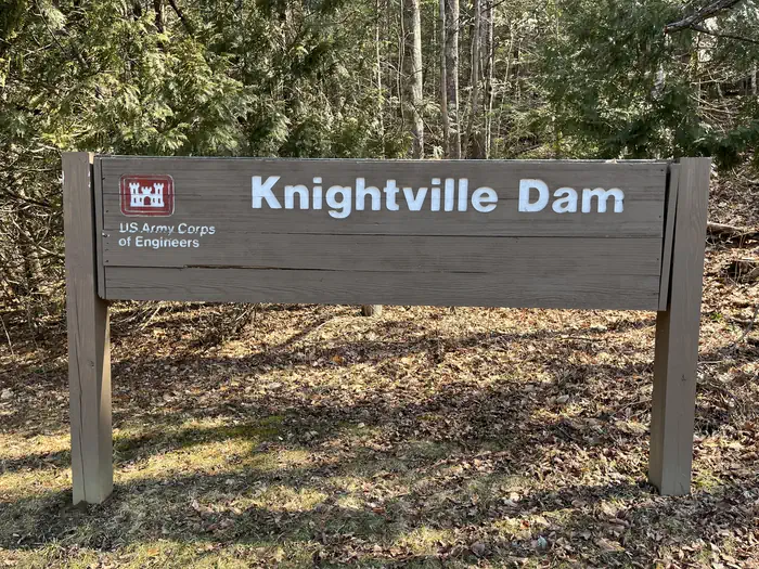
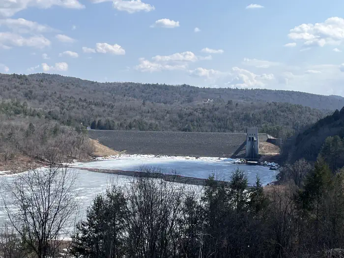
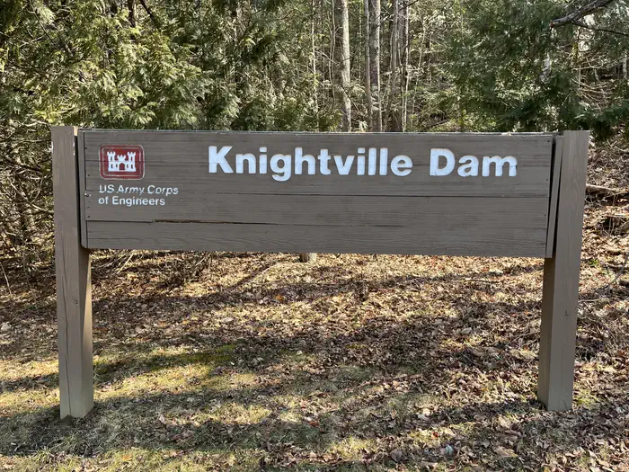
About Knightville Dam
Overview
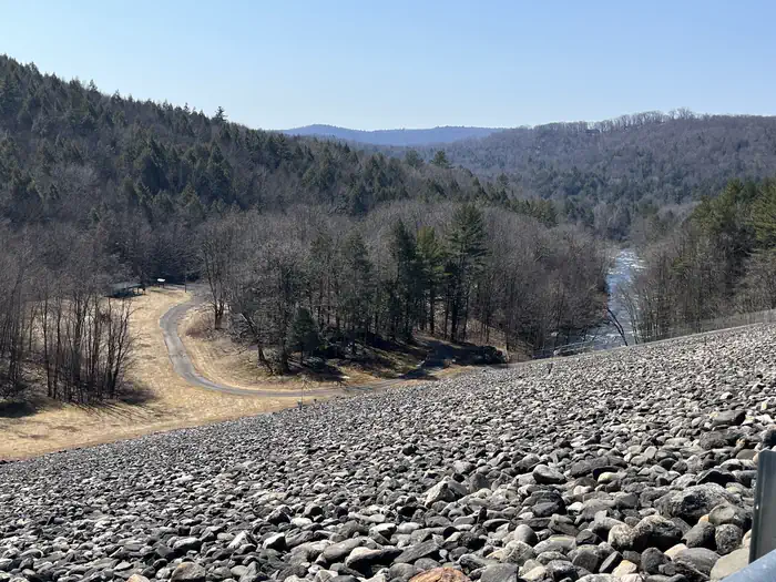
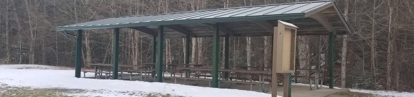
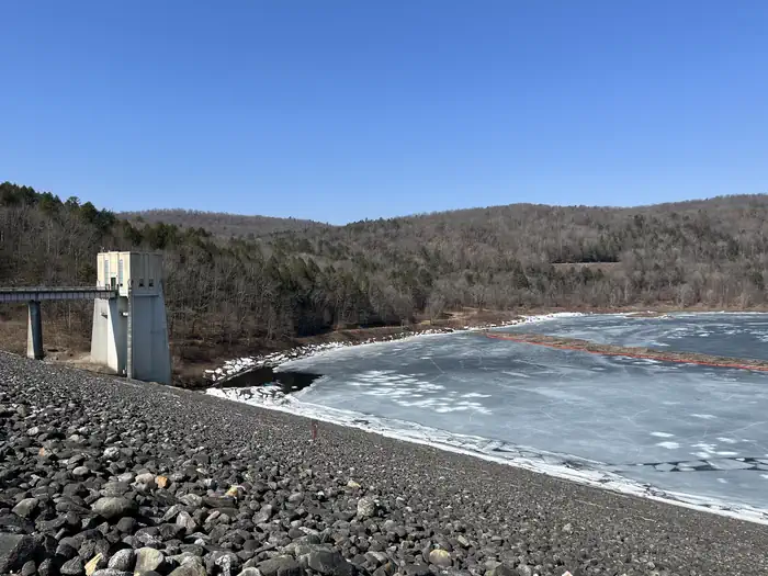
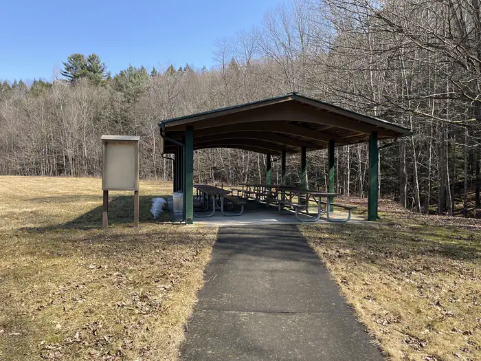
Nestled on the downstream side of Knightville Dam, the Knightville Picnic Area offers a fun getaway for the whole family. Come spend a relaxing day with us.
Recreation
The rivers and streams at Knightville offer excellent trout fishing, and the river is stocked with trout in both the spring and fall. The surrounding hills provide prime upland game habitat, and the Commonwealth of Massachusetts stocks pheasants for the fall hunting season. Hunting and fishing are permitted in the area in accordance with posted restrictions and Massachusetts laws. Visitors can enjoy hiking, mountain biking or horseback riding along several miles of trails and old country roads. Interpretive programs on the cultural and natural resources, water resources, water safety and flood control are provided by Park Rangers.
Facilities
Knightville Picnic Area accomodates all with several picnic tables grilling sites and access to the East Branch of the Westfield River.
Natural Features
In summertime the open areas of the river basin have spectacular blooms of wildflowers. These old fields attract many species of songbirds and butterflies. This area is within a Massachusetts Watchable Wildlife site, and visitors may catch a glimpse of deer, coyotes, beavers, grouse, turkeys or waterfowl while exploring the area.
Getting there
Entrance is located off State Route 112 in Huntington MA, 1/2 mile north of the junction with State Route 66.
View on Recreation.gov ↗ Get directions ↗
Photo gallery
FAQ
How do I get a reservation at Knightville Dam?
Online reservations for this facility, where offered, are made through Recreation.gov. Pick the shelter on the map to see its reservation calendar, or set a free Campsite Sniper alert. You complete the reservation yourself on Recreation.gov.
Does Campsite Sniper book this facility for me?
No. Campsite Sniper sends alerts and direct Recreation.gov links. It never books, pays for, holds, hoards, or resells reservations.
How current is this availability data?
Campsite Sniper does not currently hold availability data for Knightville Dam, so there is nothing to date here. That is a gap in coverage — it does not mean the facility is full or closed. Check Recreation.gov for current dates.
Let the app watch this shelter
Choose the reservation dates you want at Knightville Dam.
Campsite Sniper can monitor this facility and notify you if a selected date becomes available.
When a selected date becomes available, you get a push with a Recreation.gov link so you can review and book it yourself.