Openings · last 7 days
0
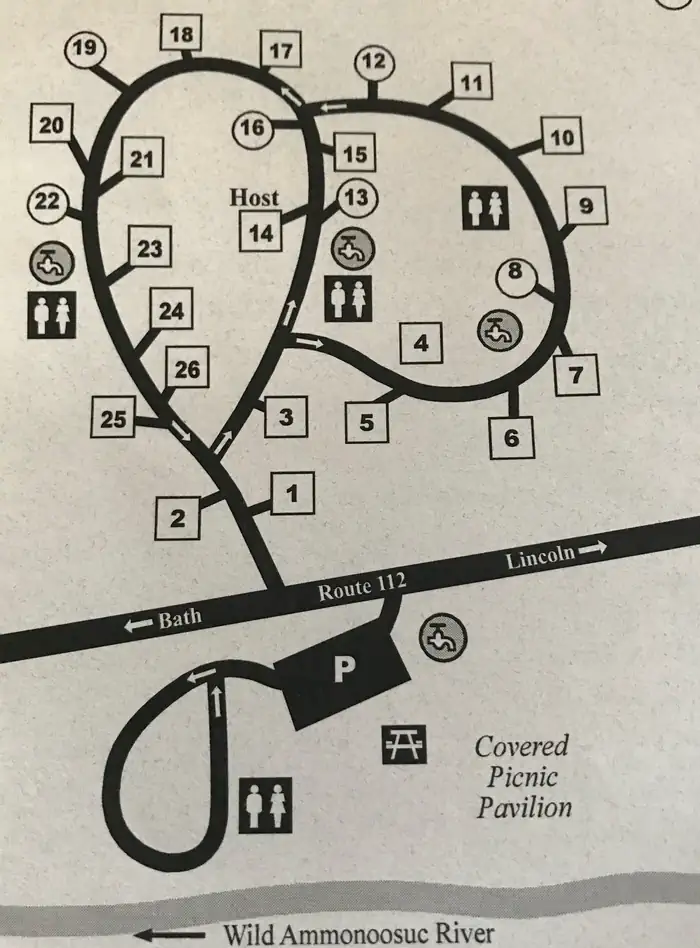
Pick a site on the map to see its site map.
The site details and map below come from the public Recreation.gov record and are accurate. For current dates and to book, go to Recreation.gov.
Only 18 openings in the last 90 days: not enough recent activity for a reliable pattern. A free Campsite Sniper alert watches around the clock instead, and pings you the moment one opens.
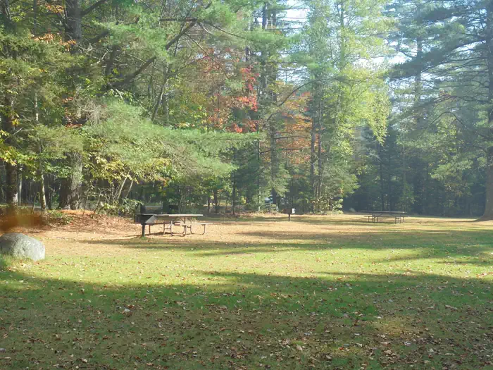
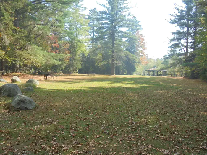
There are 26 non-reservable wooded sites with gravel pads, fire rings, and picnic tables. A self-service pay system collects the fees on a first come, first serve basis.
TIPS:
* Allow no more than 8 people and 2 vehicles per site and keep all equipment (including tents, tables and motor vehicles) on the graveled area. This will minimize compaction, allow low vegetation to grow, and enhance privacy between sites.
* Build all fires in the ring provided. “Only YOU can prevent forest fires,” says Smoky Bear. This will eliminate unsightly charcoal spots that soil camping equipment and clothing.
* Observe quiet hours between 10 PM and 7 AM. Turn off audio devices during these times and play them at a reasonable volume at all other times. See the bulletin board for the rules about operating generators.
* Gather only dead and down firewood.
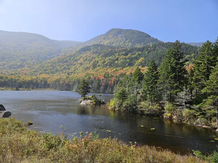
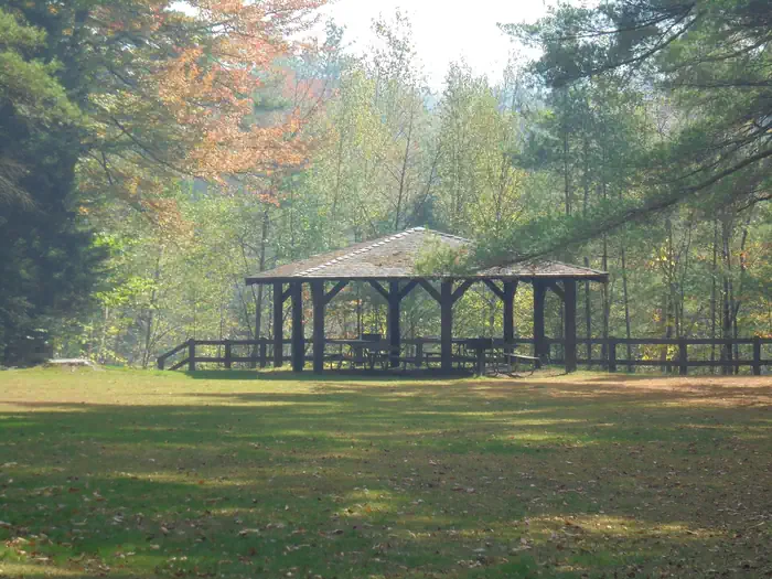
The picnic area is directly across from the campground, with it’s own water, waste containers, and restroom facilities. The Civilian Conservation Corps (CCC) built the picnic pavilion. A riverside setting offers one of the most beautiful views of Mt. Moosilauke.
Vault toilets are handicap accessible and equipped with cold water faucets. Refuse dumpster’s are provided; campers are encouraged to pack out their recyclables. There are no hookups, dump stations, showers or group camping sites available.
Moose are commonly seen along the banks of the Wild Ammonoosuc River. This river was the scene of major log drives in the 1900’s.
NEARBY ATTRACTIONS:
1. East Branch Pemigewasset River
2. Upper Lady’s Bath
3. Kancamagus Highway
4. Otter Rocks
5. Greely Ponds Scenic Area
6. Franconia Falls
7. Black Pond
8. The Flume
9. Indian Head
10. The Basin
11. Franconia Notch
12. Cannon Mountain Tram
13. Lost River Road
14. Kinsman Notch
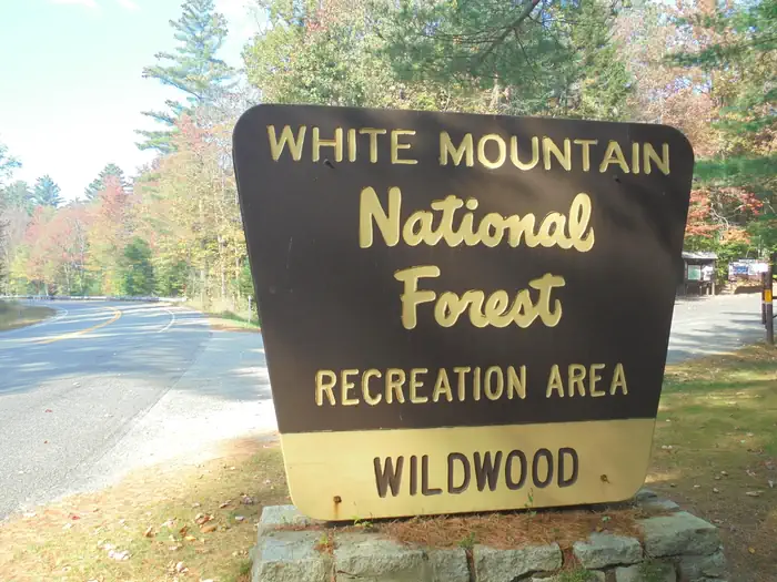
Wildwood Campground and Picnic Area is off Route 112, approximately 4 miles west of Lost River Reservation near Kinsman Notch and 9 miles from the town of North Woodstock. From 93 take Exit 32.
View on Recreation.gov ↗ Get directions ↗


Online reservations for this facility, where offered, are made through Recreation.gov. Campsite Sniper has also detected 18 site openings here in the last 90 days, so further dates may appear. Pick a site on the map to see its calendar, or set a free Campsite Sniper alert. You complete the reservation yourself on Recreation.gov.
No. Campsite Sniper sends alerts and direct Recreation.gov links. It never books, pays for, holds, hoards, or resells reservations.
Campsite Sniper does not currently hold availability data for Wildwood, so there is nothing to date here. That is a gap in coverage — it does not mean the facility is full or closed. Check Recreation.gov for current dates.
Campsite Sniper detected 18 site-date openings here over the last 90 days, none in the last 7. A free alert watches around the clock and pings you the moment one appears.
3 of the 25 sites that support RV analysis have a recorded maximum of 35 ft or more; the longest recorded is 50 ft. 19 of those 25 sites have a recorded maximum length and 6 do not; they are not counted as fitting.
Lakefront, hookups, your RV length, weekends only - set it as picky as you want.
We run paced availability checks for Wildwood. One watch covers every matching online-reservable site.
When a match opens, you get a push with a Recreation.gov link so you can review and book it yourself.
Alerts monitor online-reservable inventory only; first-come, first-served sites are not included.