Openings · last 7 days
0
Pick a site on the map to see its site map.
The site details and map below come from the public Recreation.gov record and are accurate. For current dates and to book, go to Recreation.gov.
Only 45 openings in the last 90 days: not enough recent activity for a reliable pattern. A free Campsite Sniper alert watches around the clock instead, and pings you the moment one opens.
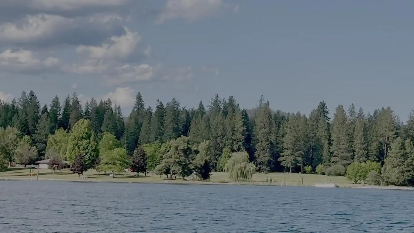
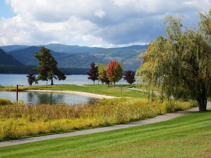
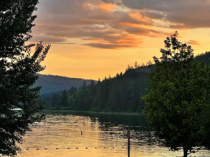
Riley Creek Recreation Area, situated on the banks of the Pend Oreille River, is the largest recreation area for the Albeni Falls Project, but still offers visitors peace and quiet and plenty of space to enjoy the scenic surroundings.
Water sports are the most common activity at the lake, and boat ramps are provided at the campground. Visitors enjoy kayaking, canoeing, swimming, fishing, water skiing and jet skiing. Campers are likely to spot wildlife in the area, with bald eagles, osprey, bears and most commonly, deer. A biking and hiking trail is available, giving campers a chance to enjoy the wildlife and greenery. Fishing piers, horseshoe pits, a beach volleyball court, basketball court and more make this campground an ideal place for family trips or groups of friends. A hiking and biking trail is accessible from the campground.
Riley Creek is the largest campground at Albeni Falls, offering 67 campsites, all with electric and water hookups. Two large reservable picnic shelters are also available.
As long as all equipment fits on the site pad, Riley Creek allows for an unlimited amount of tents per site.
Albeni Falls Dam was built in 1955 for flood control and power production on the Pend Oreille River. Today, the popular lake has the added benefit of providing visitors with countless year-round recreational activities.
Lake Pend Oreille is surrounded by scenic mountains and is one of the largest and deepest natural lakes in the western United States, plunging to depths of more than 1,200 ft. in some areas.
Behind the dam, the Pend Oreille River stretches 65 miles through a glacial-carved valley that separates three mountain ranges.
The Albeni Falls Visitor Center features exhibits on the history of the dam and the natural features of the area. Tours of the dam are given daily during the summer. The nearby town of Laclede, Idaho offers gas and grocery services.
From Highway 2 in Laclede, Idaho, turn south onto Riley Creek Road, then continue about 1 mile to the campground entrance.
View on Recreation.gov ↗ Get directions ↗


Online reservations for this facility, where offered, are made through Recreation.gov. Campsite Sniper has also detected 45 site openings here in the last 90 days, so further dates may appear. Pick a site or unit on the map to see its calendar, or set a free Campsite Sniper alert. You complete the reservation yourself on Recreation.gov.
No. Campsite Sniper sends alerts and direct Recreation.gov links. It never books, pays for, holds, hoards, or resells reservations.
Campsite Sniper does not currently hold availability data for Riley Creek, so there is nothing to date here. That is a gap in coverage — it does not mean the facility is full or closed. Check Recreation.gov for current dates.
Campsite Sniper detected 45 site-date openings here over the last 90 days, none in the last 7. A free alert watches around the clock and pings you the moment one appears.
67 of the 67 sites that support RV analysis have a recorded maximum of 35 ft or more; the longest recorded is 48 ft.
Lakefront, hookups, your RV length, weekends only - set it as picky as you want.
We run paced availability checks for Riley Creek. One watch covers every matching site.
When a match opens, you get a push with a Recreation.gov link so you can review and book it yourself.