Availability is not tracked here yet
The site details and map below come from the public Recreation.gov record and are accurate. For current dates and to book, go to Recreation.gov.
About Coal Creek Group Camp
Overview
Coal Creek Group Campground sits along the scenic Mountain Loop Road in the Mt. Baker-Snoqualmie National Forest.
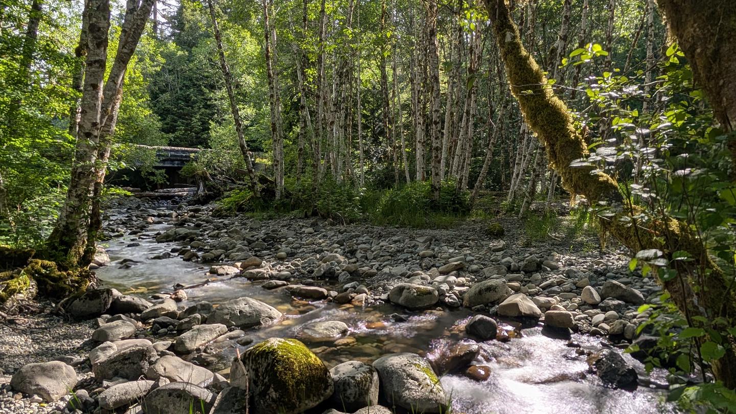
Surrounded by stands of old-growth forest and located near the confluence the of the tranquil Stillaguamish River and bubbling Coal Creek, this site is ideal for small group or family camping excursions.
Recreation
Coal Creek is a prime location for hiking, fishing, picnicking and horseback riding in summer and early fall, and offers excellent skiing and snowshoeing in the winter months.
Hikers may want to explore the nearby Big Four Ice Caves Trail off of the Mountain Loop Highway. The trail ends with a view of the ice fields and the immense north face of the 6,153 foot Big Four Mountain. The caves are exposed during August and remain visible through October.
The nearby Gold Basin Mill Pond interpretive trail is also accessible from the campground. This interpretive site includes a short, barrier-free trail that passes by mill relics and ends on a floating viewpoint looking across the old millpond. Interpretive signs discuss the history of the mill and the wildlife in the area. The trail is located directly across from the Gold Basin Campground.
Facilities
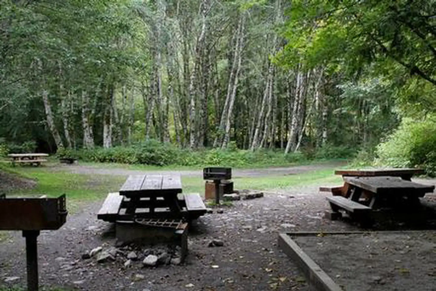
The campground offers one large group campsite, making it a perfect setting for families or groups wanting privacy. The site can accommodate about 25 guests and is ideal for tent mixed with RVs.
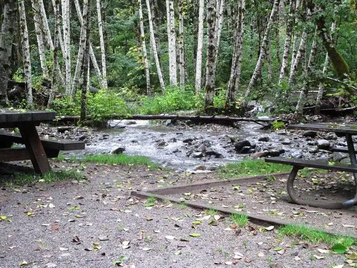
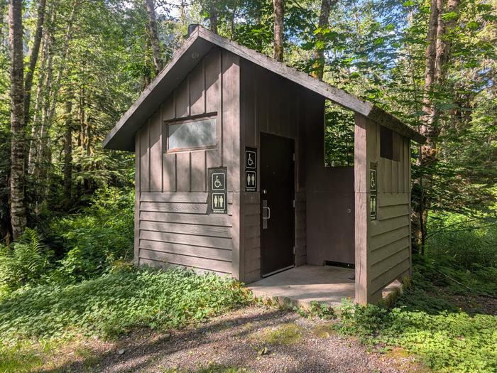
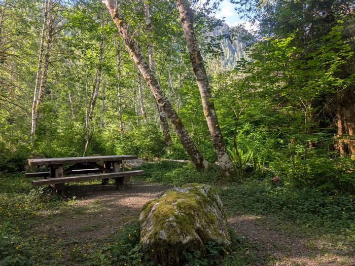
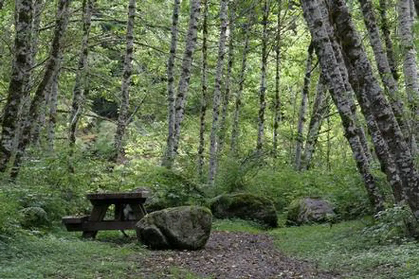
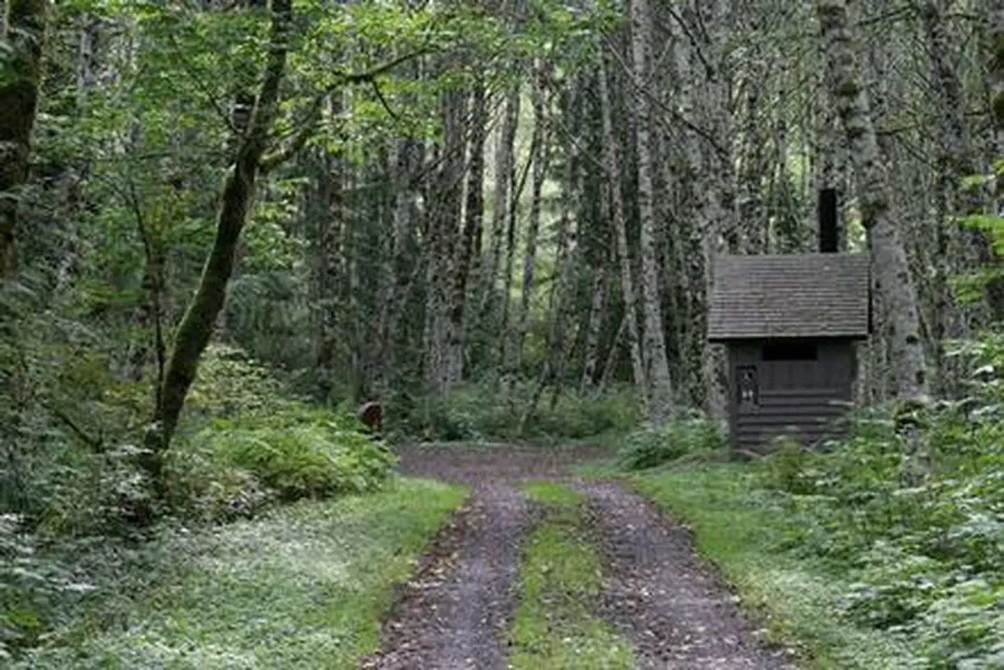
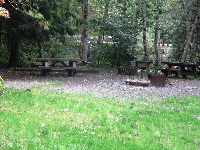
The site is equipped with tables, tent pads, campfire rings with grills and vault toilets.
Natural Features
Located in the majestic Cascade region of Washington, the Mt. Baker-Snoqualmie National Forest showcases rugged peaks, scenic rivers and lush forests.
The banks of the Stillaguamish River are lined with old-growth forests of cedar, fir and hemlock.
On a clear day visitors can spot Mt. Baker, the most prominent feature of the Mt. Baker Wilderness Area. Rising to an elevation of 10,781 feet, this active volcano is perpetually snow-capped and mantled with an extensive network of creeping glaciers. Mt. Baker's summit, Grant Peak, is actually a 1,300-foot-deep mound of ice, which hides a massive volcanic crater.
The surrounding undeveloped wilderness, clean streams and diverse forests support an abundance of wildlife. In addition to being home for a multitude of mammals, birds, amphibians and reptiles, the area sustains more rare species such as lynx, moose, wolves and wolverine. Grizzly bear sightings have been confirmed in the Cascade region, though black bear sightings are more common.
Nearby Attractions
Visitors enjoy the North Cascades and Mt. Rainer National Parks, where interpretive programs and exhibits offer education about the diverse landscape and history of the area.
The spectacular Pacific Crest Trail (PCT), one of the world's premier National Scenic Trails, showcases some of North America's most fantastic scenery, winding its way its way from Mexico to Canada through California, Oregon and Washington, and is accessible near the campground.
Getting there
From Seattle, Washington, go north on I-5 to Everett. Take exit 194 onto Highway 2, then head north at Highway 204 towards Lake Stevens. Turn north on Highway 9, then east on Highway 92 to Granite Falls. The campground is located approximately 23.5 miles east of Granite Falls on Highway 7 Scenic Byway.
View on Recreation.gov ↗ Get directions ↗
Photo gallery

FAQ
How do I get a reservation at Coal Creek Group Camp?
Online reservations for this facility, where offered, are made through Recreation.gov. Pick a site on the map to see its calendar, or set a free Campsite Sniper alert. You complete the reservation yourself on Recreation.gov.
Does Campsite Sniper book this campground for me?
No. Campsite Sniper sends alerts and direct Recreation.gov links. It never books, pays for, holds, hoards, or resells reservations.
How current is this availability data?
Campsite Sniper does not currently hold availability data for Coal Creek Group Camp, so there is nothing to date here. That is a gap in coverage — it does not mean the facility is full or closed. Check Recreation.gov for current dates.
Which sites at Coal Creek Group Camp fit a 35-foot RV?
1 of the 1 site that support RV analysis has a recorded maximum of 35 ft or more; the longest recorded is 36 ft.
Stop refreshing. Let the app watch it.
Lakefront, hookups, your RV length, weekends only - set it as picky as you want.
We run paced availability checks for Coal Creek Group Camp. One watch covers every matching site.
When a match opens, you get a push with a Recreation.gov link so you can review and book it yourself.