Availability is not tracked here yet
The site details and map below come from the public Recreation.gov record and are accurate. For current dates and to book, go to Recreation.gov.
About Red Bridge Campground
Overview
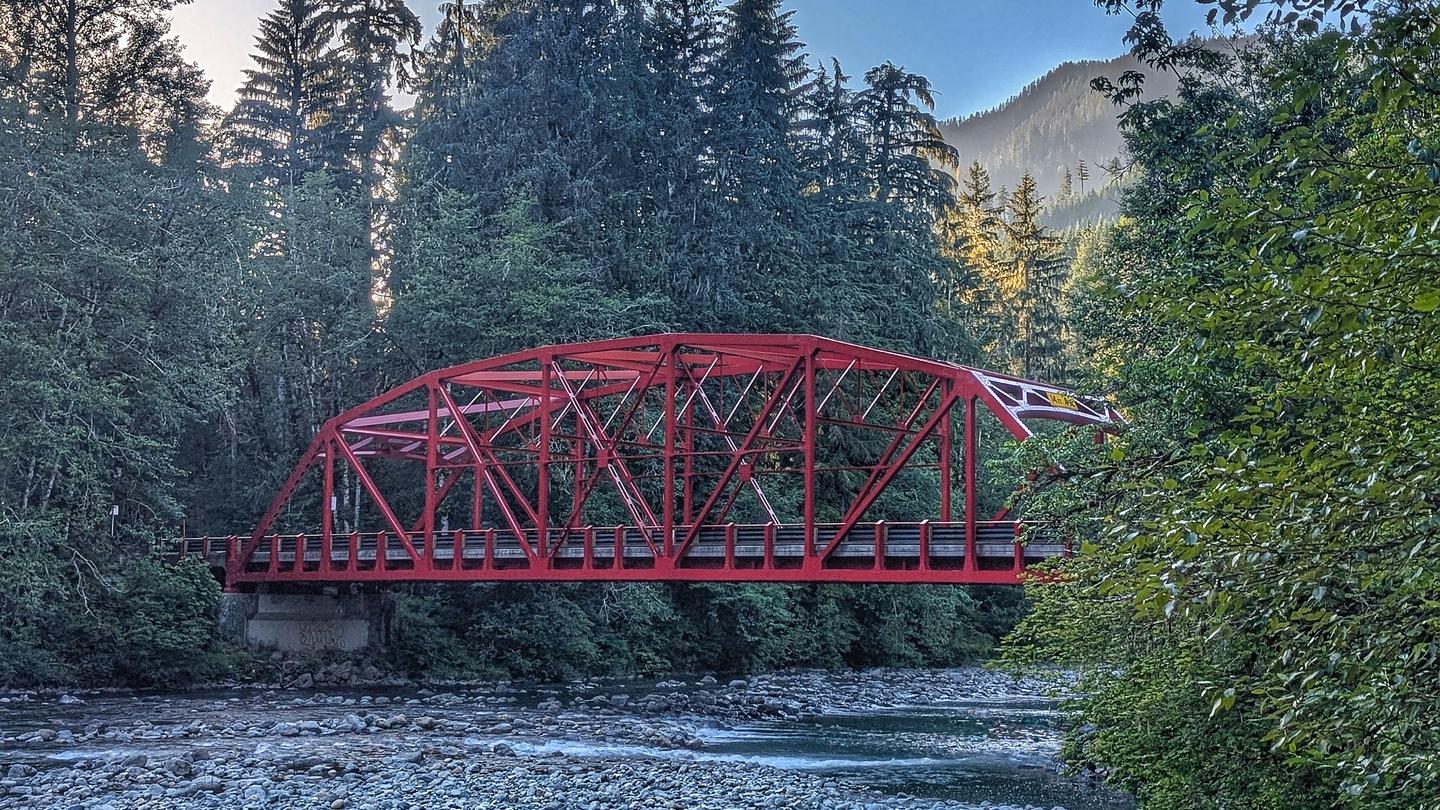
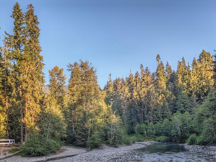
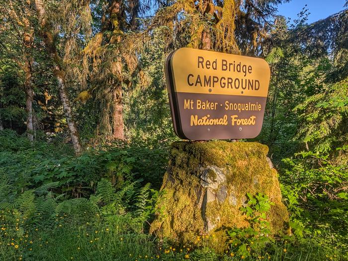
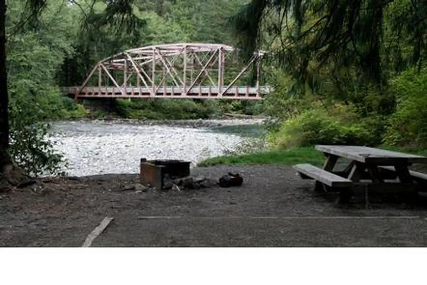
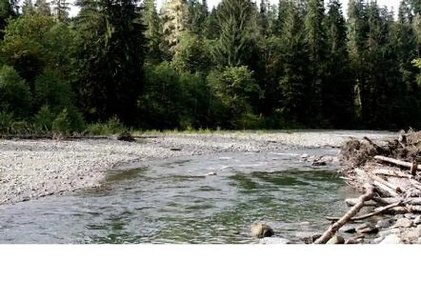
Red Bridge Campground is located just off the Mountain Loop Highway along the pebble-strewn bank of the South Fork Stillaguamish River in the Mt. Baker-Snoqualmie National Forest. Red Bridge Campground is a beautiful camp, offering visitors access to fishing, kayaking and hiking opportunities.
Recreation
The Mt. Baker-Snoqualmie National Forest has 1,500 miles of trails. From smooth paths meandering through deep quiet forests to challenging ascents up a boulder-studded mountain, opportunities abound for every skill level.
The Mt. Dickerman Trail switchbacks steeply for 3.0 miles through a dark forest of timber to an alpine meadow that was replanted in 1915 after a major forest fire. From this point, the trail rises above timberline to an alpine meadow full of wildflowers in July and August.
The trail offers spectacular views in all directions as the trail climbs to the 5,723' summit.
Facilities
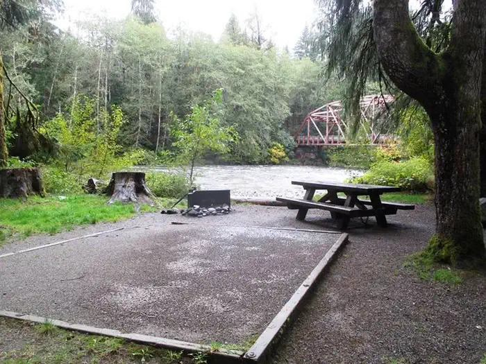
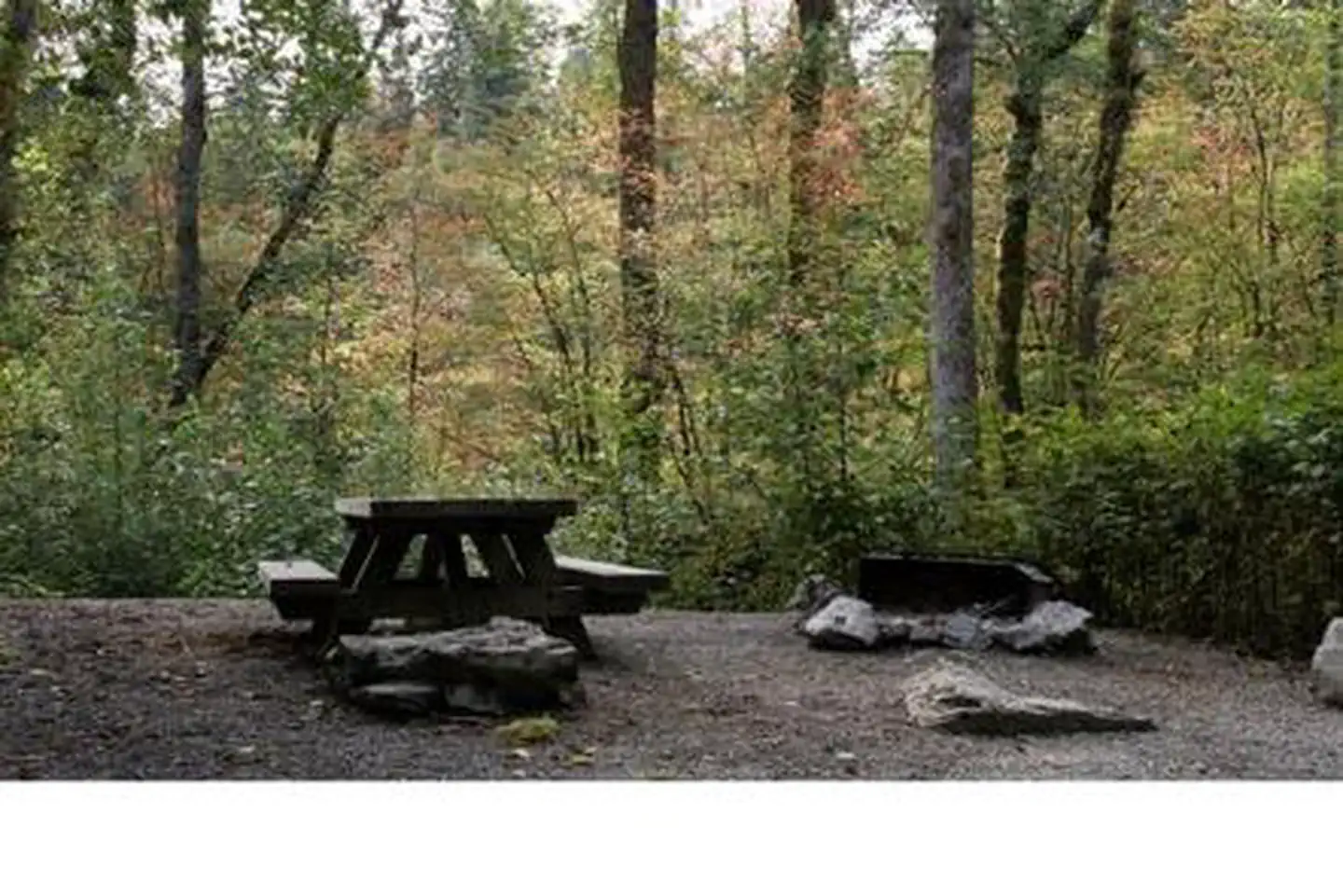
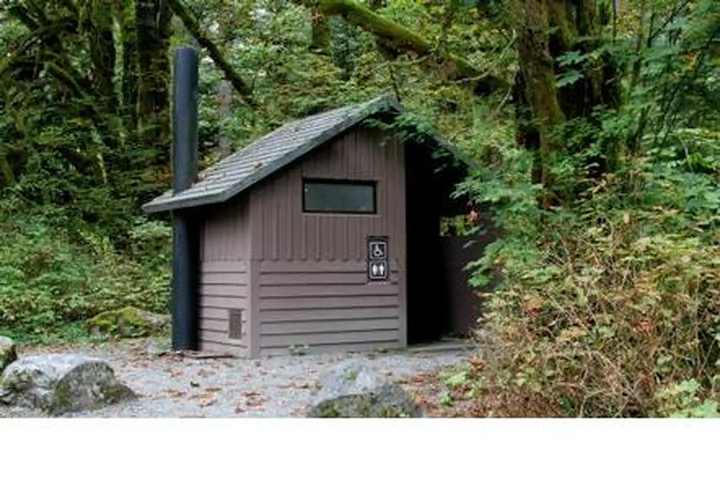
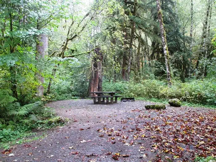
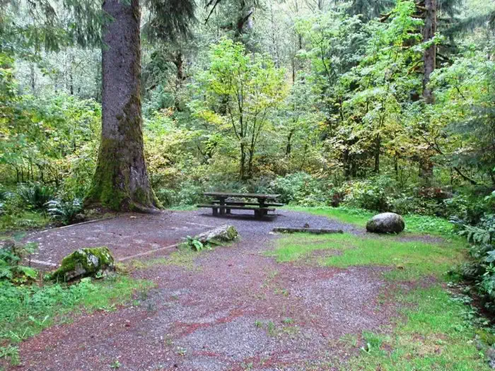
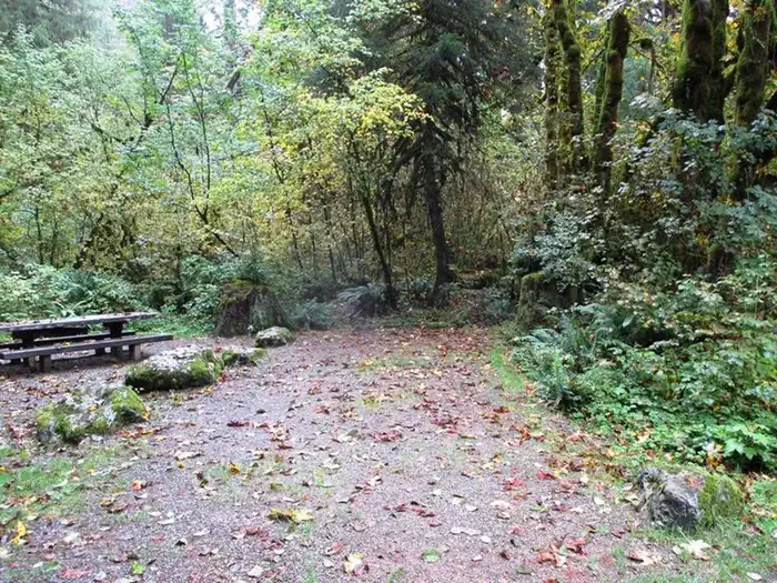
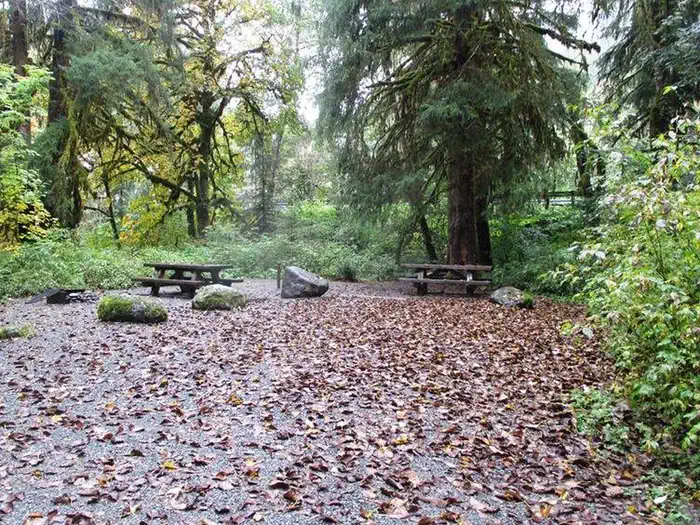
Red Bridge Campground offers single-family sites for both tent and RV camping. Picnic tables, campfire rings and vault toilets are available, however there are no electrical hookups or drinking water. Visitors must bring their own supply of water.
Natural Features
Rugged peaks, scenic rivers and abundant wildlife define the Mt. Baker-Snoqualmie National Forest and surrounding designated wilderness areas. On a clear day visitors can see Mt. Baker, which rises to an elevation of 10,781 feet. The active volcano is perpetually snow-capped. Mt. Baker's summit, Grant Peak, is actually a 1,300-foot-deep mound of ice, which hides a massive volcanic crater.
Old-growth forests line the wide, gently-flowing South Fork Stillaguamish River, known for its salmon run. Chinook, Coho, chum, pink and sockeye salmon, steelhead trout, sea-run cutthroat and bull trout use the river and its tributaries for spawning.
Undeveloped wilderness, clean streams and diverse forests provide important habitat for wildlife. Many species of mammals, birds, amphibians and reptiles make their homes in the area, which also sustains rare species such as lynx, moose, wolves and wolverine.
Nearby Attractions
Visit or stay in one of the historic lookouts in the area. Lookouts are tangible symbols of Forest Service heritage, perched on high peaks with unobstructed views where they have been used to detect and control fires.
Take some time to visit nearby North Cascades National Park or Mount Rainer National Park. Considered scenic wonderlands, the parks offer a fantasic glimpse of glaciers, subalpine ecology and volcanic landscapes.
Discover the Verlot Public Service Center near the South Fork Stillaguamish River. Built by the Civilian Conservation Corps from 1933 to 1942, Verlot`s handsome buildings reflect the architectural style and fine craftsmanship of that era and are listed on the National Register of Historic Places.
Getting there
From Seattle, take I-5 north to Everett. Take Exit 194 onto Highway 2, then head north on Highway 204 toward Lake Stevens. Turn north on Highway 9, then east on Highway 92 to Granite Falls. Continue about 19.5 miles past Granite Falls to the campground.
View on Recreation.gov ↗ Get directions ↗
Photo gallery
FAQ
How do I get a reservation at Red Bridge Campground?
Online reservations for this facility, where offered, are made through Recreation.gov. Pick a site on the map to see its calendar, or set a free Campsite Sniper alert. You complete the reservation yourself on Recreation.gov.
Does Campsite Sniper book this campground for me?
No. Campsite Sniper sends alerts and direct Recreation.gov links. It never books, pays for, holds, hoards, or resells reservations.
How current is this availability data?
Campsite Sniper does not currently hold availability data for Red Bridge Campground, so there is nothing to date here. That is a gap in coverage — it does not mean the facility is full or closed. Check Recreation.gov for current dates.
Which sites at Red Bridge Campground fit a 35-foot RV?
11 of the 15 sites that support RV analysis have a recorded maximum of 35 ft or more; the longest recorded is 40 ft.
Stop refreshing. Let the app watch it.
Lakefront, hookups, your RV length, weekends only - set it as picky as you want.
We run paced availability checks for Red Bridge Campground. One watch covers every matching online-reservable site.
When a match opens, you get a push with a Recreation.gov link so you can review and book it yourself.
Alerts monitor online-reservable inventory only; first-come, first-served sites are not included.