Availability is not tracked here yet
The site details and map below come from the public Recreation.gov record and are accurate. For current dates and to book, go to Recreation.gov.
About Millpond Recreation Site
Overview
THIS LOCATION IS CLOSED UNTIL FURTHER NOTICE DUE TO WILDFIRE DAMAGE.
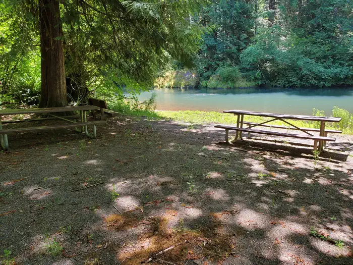
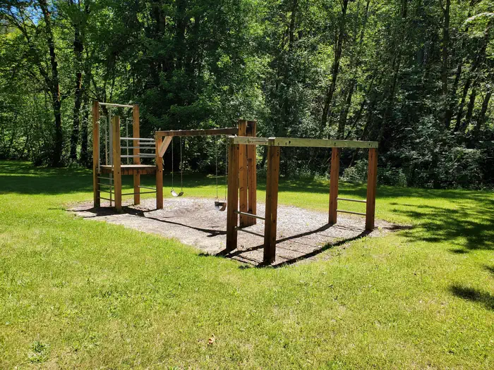
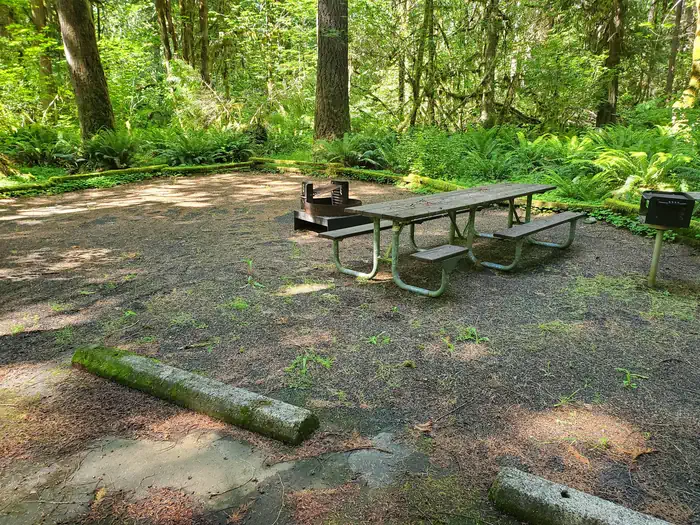
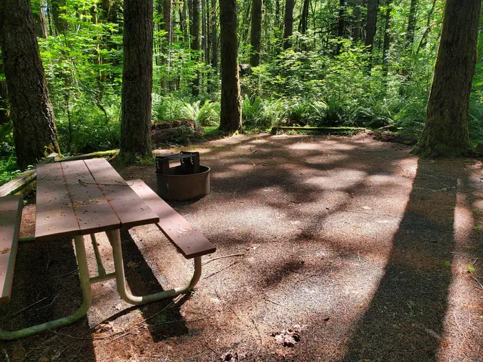
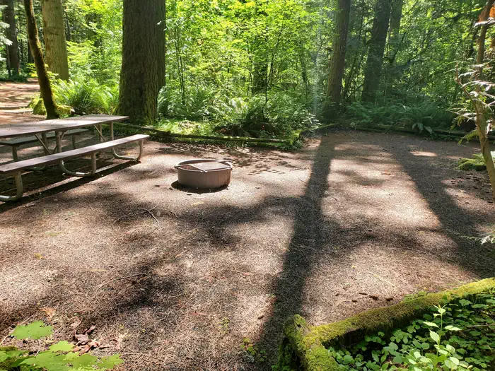
Nestled along the clear waters of Rock Creek, Millpond’s lush forest gives way to spacious grassy areas, great for day-use and running the kids and dogs. A children's play area, a large ball-field, interpretive panels, and swimming areas are all available at Millpond. There is a short nature trail on the west end of the campground and the mile-long Sawmill Trail to the east.
In 1988 congress designated the North Umpqua River as a National Wild and Scenic River, preserving and protecting it for outdoor enthusiasts. The river is a tributary of the Umpqua River, which runs for over 200 miles from the Cascade Range of southwestern Oregon to the Pacific Ocean.
Recreation
Guests can play kickball, softball or other sports in the field that's on the other side of day use parking area. Adjacent to the pavilion are horseshoe pits and a playground to entertain young ones. From the pavilion, visitors can follow a 1-mile interpretive trail that passes through the site of an old lumber mill. Between the pavilion and campground there is a swimming hole for the whole family to enjoy with a beach, picninc tables, and grills.
Natural Features
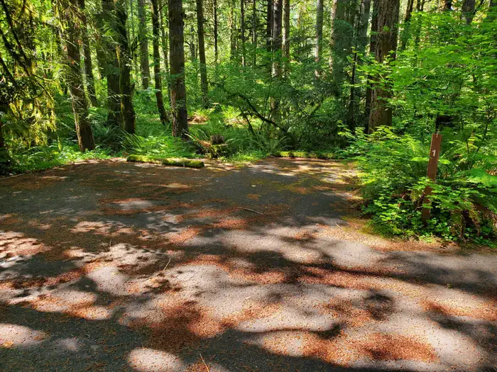
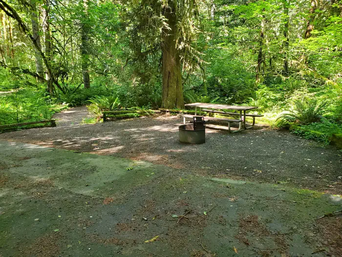
Millpond is just west of the Umpqua National Forest, in a lush region full of Douglas fir trees, western red cedar and sugar pines. The campground is in the foothills of the Cascade Mountains at an elevation of 1,170 feet.
Nearby Attractions
Visitors can get their adventure fix with kayaking and whitewater rafting and fishing in the North Umpqua River, just five miles away.
The incredibly scenic 79-mile North Umpqua Trail is ideal for mountain biking and hiking. And for a family-friendly destination, the nearby Rock Creek Fish Hatchery allows visitors to view salmon and steelhead.
Getting there
Travel 22 miles east of Roseburg on Highway 138. Six miles east of Glide, turn north on Rock Creek Road (County Road 78). Travel five miles to the campground. Elevation: 1170’
View on Recreation.gov ↗ Get directions ↗
Photo gallery



FAQ
How do I get a reservation at Millpond Recreation Site?
Online reservations for this facility, where offered, are made through Recreation.gov. Pick a site on the map to see its calendar, or set a free Campsite Sniper alert. You complete the reservation yourself on Recreation.gov.
Does Campsite Sniper book this campground for me?
No. Campsite Sniper sends alerts and direct Recreation.gov links. It never books, pays for, holds, hoards, or resells reservations.
How current is this availability data?
Campsite Sniper does not currently hold availability data for Millpond Recreation Site, so there is nothing to date here. That is a gap in coverage — it does not mean the facility is full or closed. Check Recreation.gov for current dates.
Which sites at Millpond Recreation Site fit a 35-foot RV?
9 of the 12 sites that support RV analysis have a recorded maximum of 35 ft or more; the longest recorded is 60 ft.
Stop refreshing. Let the app watch it.
Lakefront, hookups, your RV length, weekends only - set it as picky as you want.
We run paced availability checks for Millpond Recreation Site. One watch covers every matching site.
When a match opens, you get a push with a Recreation.gov link so you can review and book it yourself.