Availability is not tracked here yet
The site details and map below come from the public Recreation.gov record and are accurate. For current dates and to book, go to Recreation.gov.
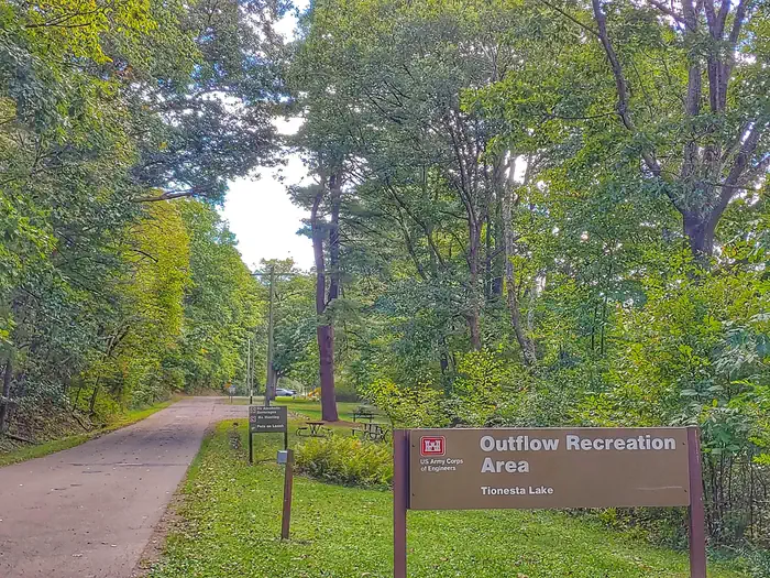
About Outflow Recreation Area (PA)
Overview
Half of Forest County, where Tionesta Lake is located, is preserved as public lands. The region is known as one of Pennsylvania's best big game regions and is home to a remarkable variety of wildlife.
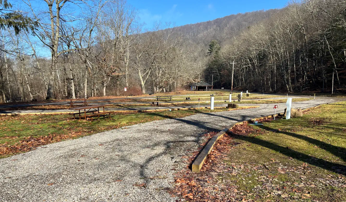
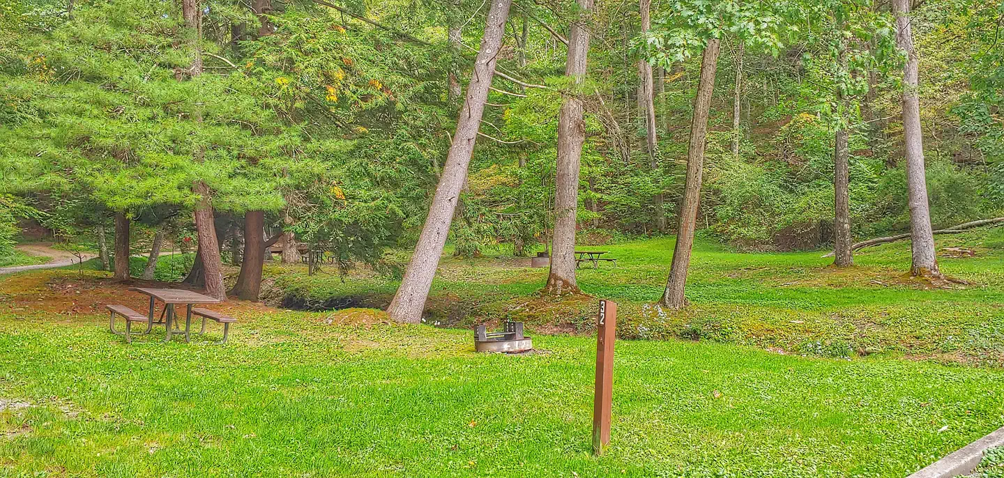
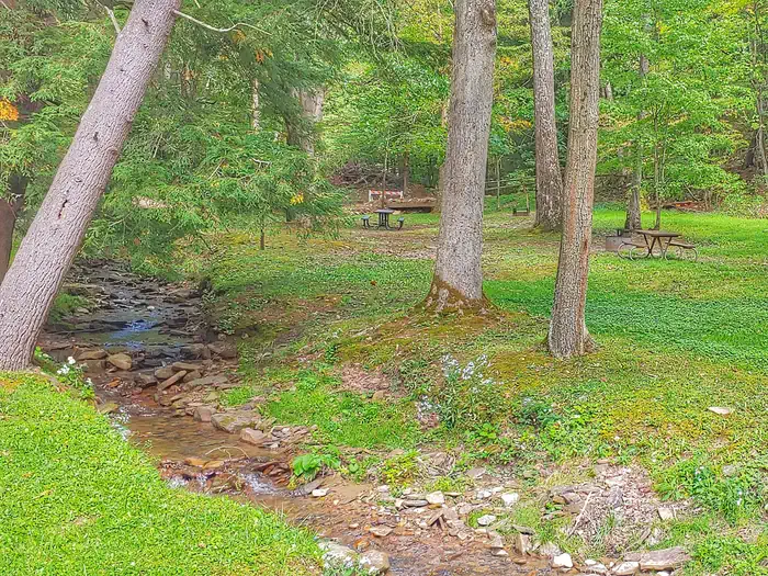
Campers come to the Outflow Recreation Area Campground to enjoy the forested area along Tionesta Creek. The area is ideal for fishing, hunting as well as scenic hiking.
Tionesta is a culturally rich region with a long history. The Seneca Indian tribe named this area "where the water separates the land." Nearly a century ago, narrow gauge railways dotted the surrounding countryside, hauling out virgin timber from the hillsides.
Recreation
In-season hunting, fishing, boating, hiking and water skiing, are all available from Tionesta.
Visitors interested in wildlife viewing are likely to spot white-tailed deer, porcupine, wild turkey, osprey and opossum.
Facilities
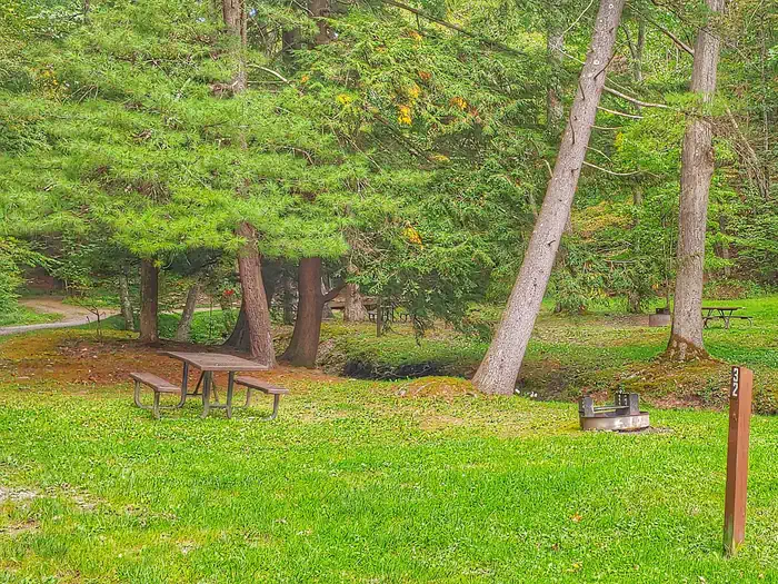
Each campsite has picnic table and fire ring
*Available starting Memorial Day Weekend -
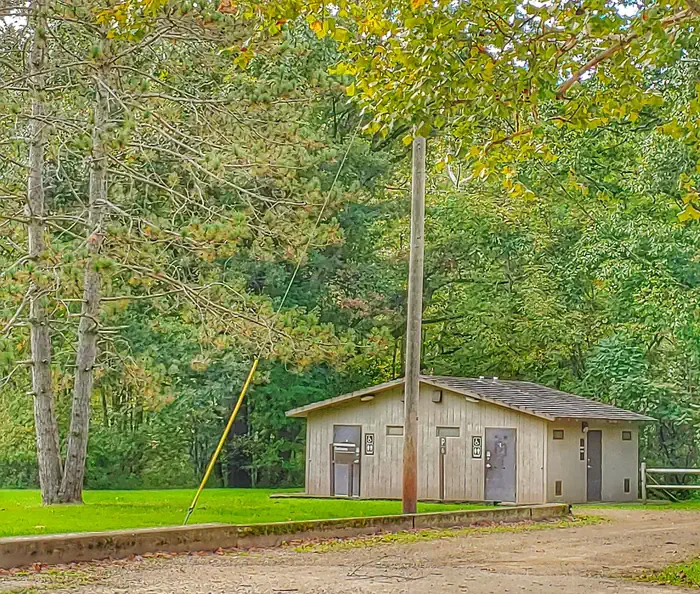
Water, flush toilets, and showers.
dump station located nearby*
To Labor Day Weekend
Natural Features
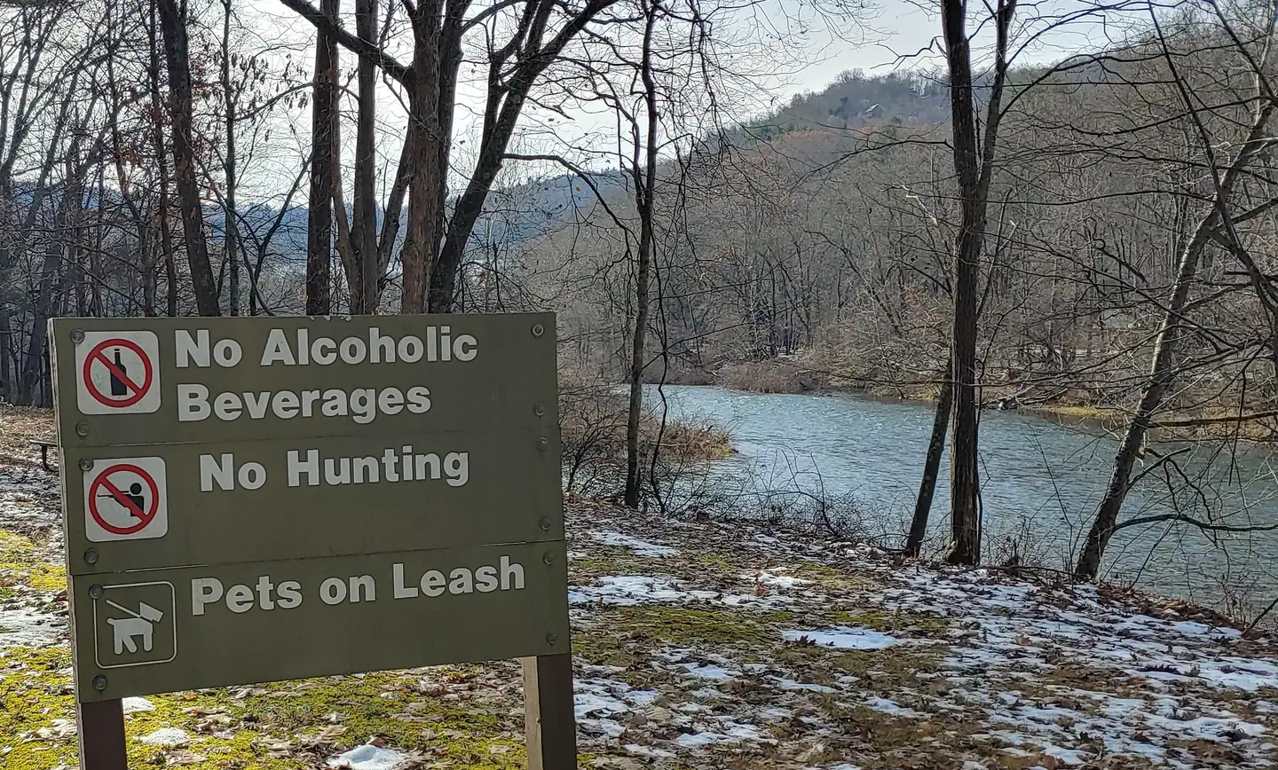
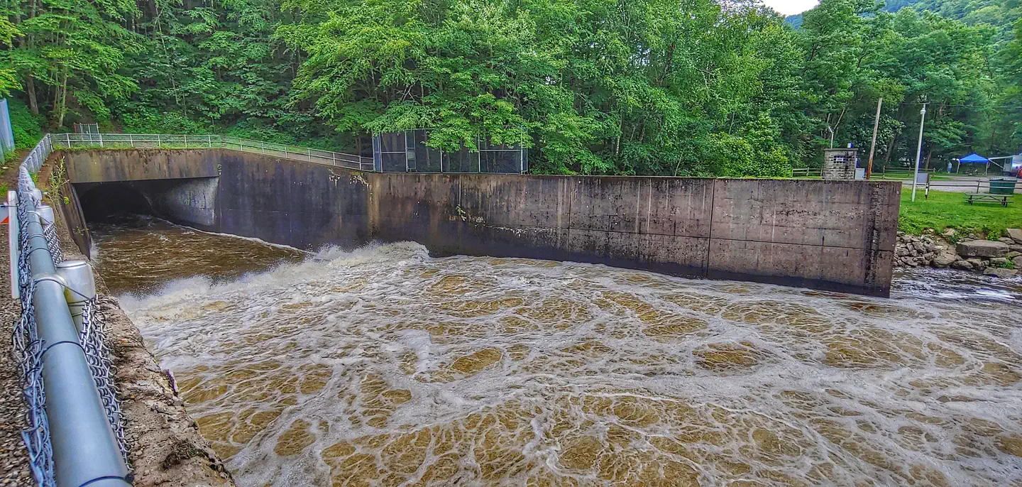
Tionesta Lake winds its way through the rugged hills of northwestern Pennsylvania. Surrounding public areas include the Allegheny National Forest, Cooks Forest State Park, Cornplanter and Clear Creek State Forests, the state fish hatchery and state game lands.
Nearby Attractions
Tionesta Creek Road, which winds through the Tionesta Creek valley upstream of the dam, is an excellent scenic drive with spectacular views.
The nearby Allegheny National Forest also makes a great day trip.
Getting there
From Pittsburgh take I-79 North. Merge onto I-80 East exit 116a toward Clarion for 9.8 miles. Take the PA-8 exits 29 toward Barkeyville. Turn Left onto Pa-8/State Route 8 for 16.4 miles. Turn right on US-62 and follow US-62 for 34 miles. Turn right onto 36 South in to Tionesta. Turn right at the stop sign and continue 36 south for 2.0 miles and South Elm Street 1.5 miles into the Outflow Recreation Area. From Warren travel US-62 South for 30 miles take left onto South Elm Street 1.5 miles into the Outflow Recreation Area.
View on Recreation.gov ↗ Get directions ↗
Photo gallery



FAQ
How do I get a reservation at Outflow Recreation Area (PA)?
Online reservations for this facility, where offered, are made through Recreation.gov. Pick a site or unit on the map to see its calendar, or set a free Campsite Sniper alert. You complete the reservation yourself on Recreation.gov.
Does Campsite Sniper book this facility for me?
No. Campsite Sniper sends alerts and direct Recreation.gov links. It never books, pays for, holds, hoards, or resells reservations.
How current is this availability data?
Campsite Sniper does not currently hold availability data for Outflow Recreation Area (PA), so there is nothing to date here. That is a gap in coverage — it does not mean the facility is full or closed. Check Recreation.gov for current dates.
Which sites at Outflow Recreation Area (PA) fit a 35-foot RV?
5 of the 25 sites that support RV analysis have a recorded maximum of 35 ft or more; the longest recorded is 99 ft. 5 of those 25 sites have a recorded maximum length and 20 do not; they are not counted as fitting.
Stop refreshing. Let the app watch it.
Lakefront, hookups, your RV length, weekends only - set it as picky as you want.
We run paced availability checks for Outflow Recreation Area (PA). One watch covers every matching site.
When a match opens, you get a push with a Recreation.gov link so you can review and book it yourself.