Openings · last 7 days
0
Pick a site on the map to see its site map.
The site details and map below come from the public Recreation.gov record and are accurate. For current dates and to book, go to Recreation.gov.
No strong weekday pattern is evident in the openings Campsite Sniper has detected: 232 openings spread across the week.
The largest concentrations of detected openings were first detected during the 02:00 and 12:00 local-time hours. Those hours contained 113 of 232 detected openings (48.7%). Hours show when Campsite Sniper first detected each opening, in Eastern Time, not when the change was made upstream.
Half of the openings Campsite Sniper detected appeared at least 4.5 days before the stay date; the middle 50% land 2–18 days out. Set an alert if you want Campsite Sniper to monitor future openings.
| Site | Openings | Share of all openings |
|---|---|---|
| 016 | 37 | 15.9% |
| 053 | 15 | 6.5% |
| 062 | 10 | 4.3% |
| 038 | 9 | 3.9% |
| 054 | 9 | 3.9% |
Site 016 had the most detected openings in the last 90 days: 37. One free watch covers every site here.
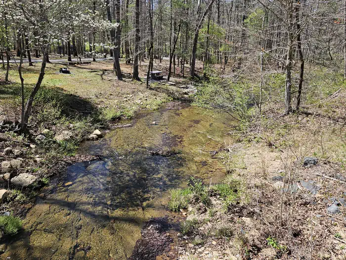
Otter Creek Campground is located at the Blue Ridge Parkway's lowest elevation, only 649 feet above sea level. Picturesque Otter Creek winds through this quiet, rustic campground. Night skies are spectacular here, and there are several nearby trails to hike including the Otter Creek Trail, which is accessible from the campground. Just imagine enjoying the crackle of an evening campfire with the murmur of the creek in the background! Relax....
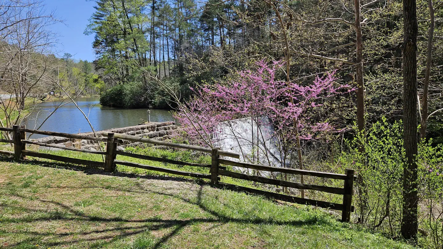
The James River/Otter Creek recreation area has fishing in Otter Lake and a number of hiking trails including Trail of Trees, Otter Creek, Otter Lake Loop, and James River Canal.
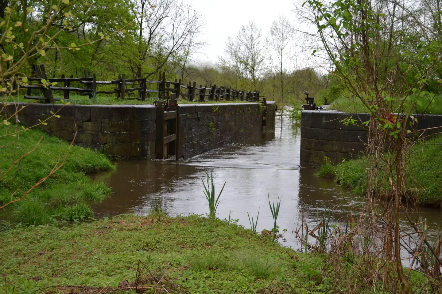
Hike the Otter Creek Trail to James River Visitor Center . There visitors can view a restored canal lock from the Kanawha Canal, part of the historic James River transporation artery which was once the primary commercial route in the state of Virginia.
Both RV and tent sites are available at this well-kept campground. Sites are equipped with grills, picnic tables and lantern posts. Amenities such as flush toilets, drinking water and a dump station are also at hand. All sites are available for advance reservation, and may be booked on the day of arrival.
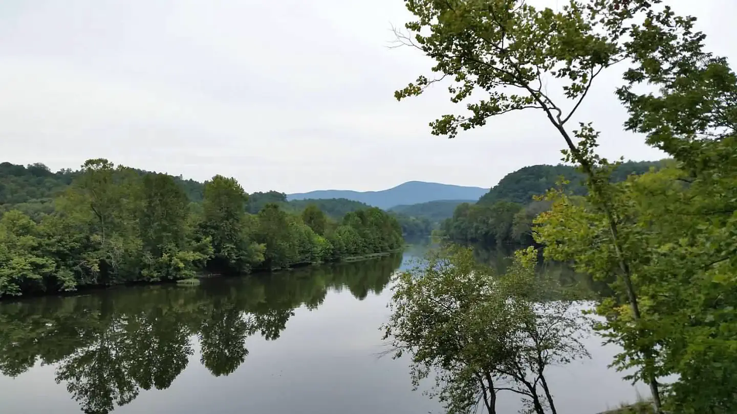
This area's abundant water and warmer temperatures support plant and animal communities that are unlike those found at other areas on the Parkway. A short walk along the Trail of Trees or a hike along the clear, cool waters of Otter Creek will give ample proof that there is more to the Blue Ridge Parkway than mountain-top vistas.
Otter Creek Trail (3.5 miles/5.6 km) parallels the Parkway road as it meanders from Otter Creek campground to the James River Visitor Center. Most sections of this trail are easy to hike and can be reached from many points along the motor road. Otter Lake Loop Trail (0.9 miles/1.4 km) provides scenic views of Otter Lake. This is also a good trail for watching wildlife. Look for beaver lodges and dams along tributary streams. Early morning and late evening are prime times for wildlife observations. Trail of Trees (0.4 miles/.6 km) begins near the James River Visitor Center and wanders through a shaded stream drainage. Trail signs identify many of the trees and shrubs of the river valley. This trail also affords a handsome view of the James River water gap, a rare geological feature. Canal Lock Trail (0.4 miles/.6 km) begins at the visitor center and crosses the James River on a walkway beneath the bridge. The restored Battery Creek Lock, located a short distance from the bridge, is typical of those constructed in the 1800s as part of the James River and Kanawha Canal. This canal, with nearly 100 locks, helped make the river a major transportation corridor before the Civil War. Exhibits at the Battery Creek site explain how locks were used to raise and lower boats to adjust for the changing elevation of the river.
Traveling from the Lynchburg area on Rte 29, turn onto Rte 130 West. Travel approximately 25 miles to the Blue Ridge Parkway entrance. From the ramp, turn right (north) onto the Parkway. Travel one mile to the Otter Creek Campground. Traveling from the Lexington/Buena Vista direction on Rte 81, take the Blue Ridge Parkway exit to Rte 60 E towards Amherst. Drive approximately 16 miles, turning at the Blue Ridge Parkway entrance sign. At the Stop sign, turn left (south) onto the Parkway. Travel approximately 16 miles to the entrance of Otter Creek Campground.
View on Recreation.gov ↗ Get directions ↗





Online reservations for this facility, where offered, are made through Recreation.gov. Campsite Sniper has also detected 232 site openings here in the last 90 days, so further dates may appear. Pick a site on the map to see its calendar, or set a free Campsite Sniper alert. You complete the reservation yourself on Recreation.gov.
No. Campsite Sniper sends alerts and direct Recreation.gov links. It never books, pays for, holds, hoards, or resells reservations.
Campsite Sniper does not currently hold availability data for Otter Creek Campground, so there is nothing to date here. That is a gap in coverage — it does not mean the facility is full or closed. Check Recreation.gov for current dates.
Campsite Sniper detected 232 site-date openings here over the last 90 days, none in the last 7. A free alert watches around the clock and pings you the moment one appears.
9 of the 68 sites that support RV analysis have a recorded maximum of 35 ft or more; the longest recorded is 80 ft.
Half of the openings Campsite Sniper detected appeared at least 4.5 days before the stay date; the middle 50% landed 2-18 days out. Campsite Sniper can monitor future changes for dates you select.
Lakefront, hookups, your RV length, weekends only - set it as picky as you want.
We run paced availability checks for Otter Creek Campground. One watch covers every matching online-reservable site.
When a match opens, you get a push with a Recreation.gov link so you can review and book it yourself.
Alerts monitor online-reservable inventory only; first-come, first-served sites are not included.