Availability is not tracked here yet
The site details and map below come from the public Recreation.gov record and are accurate. For current dates and to book, go to Recreation.gov.
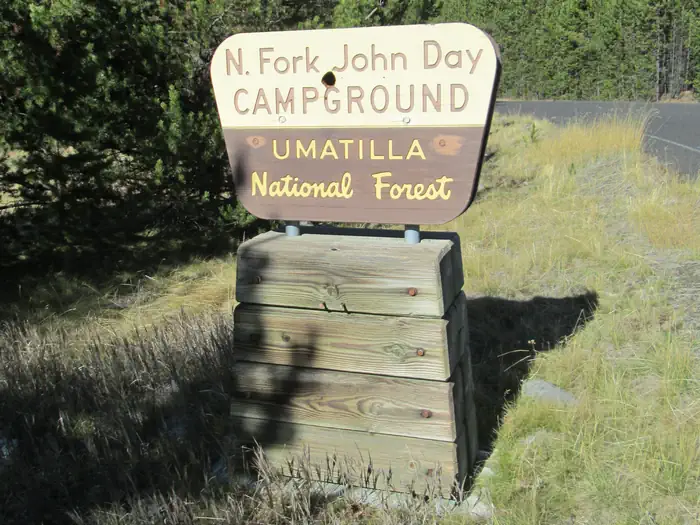
About North Fork John Day Campground (OR)
Overview
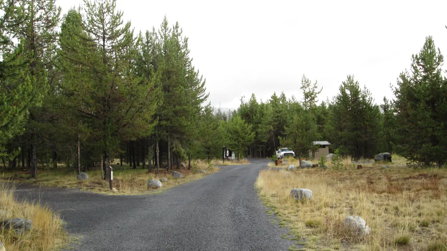
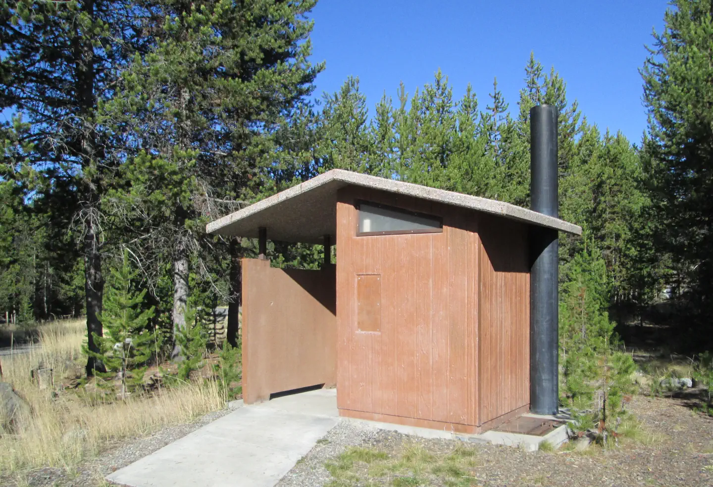
This campground sits along the Wild and Scenic North Fork John Day River at the junction of the Blue Mountain and Elkhorn Scenic Byways. It features 20 campsites, 3 accessible toilet facilities, and stock handling facilities. There is no potable water or garbage service, so please pack your garbage home.
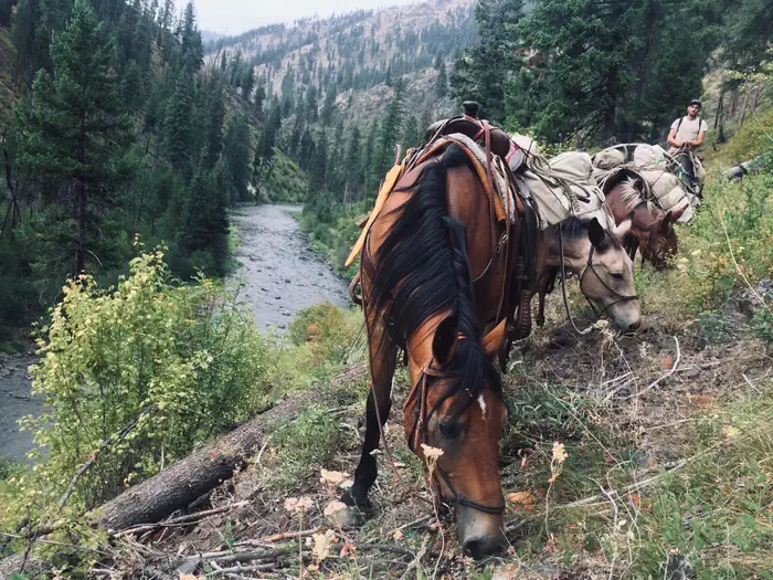
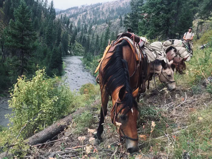
This campground serves as the eastern access point to the North Fork John Day Wilderness via North Fork John Day River Trail #3022. The area offers hunting, fishing, hiking, horseback riding, berry and mushroom picking, sight-seeing, and photography opportunities. In spring and fall you can see the salmon spawning. Special state fishing regulations apply.
If you like to drive, you can pick up the Ukiah-Granite Roadside Geology auto tour brochure from the camp host or the Ranger District.
Recreation
This campground serves as the eastern portal into the North Fork John Day Wilderness and offers hunting, fishing, hiking, horseback riding, sight-seeing, and photography. Berries and mushrooms can be found in season. If you like to drive, you can pick up the Ukiah-Granite Roadside Geology auto tour brochure from the camp host or the Ranger District office. if you are interested in history, there are numerous remnants of mining left from the turn of the century, Remember, historic objects, even if they look like trash, are protected by law and may not be removed.
Facilities
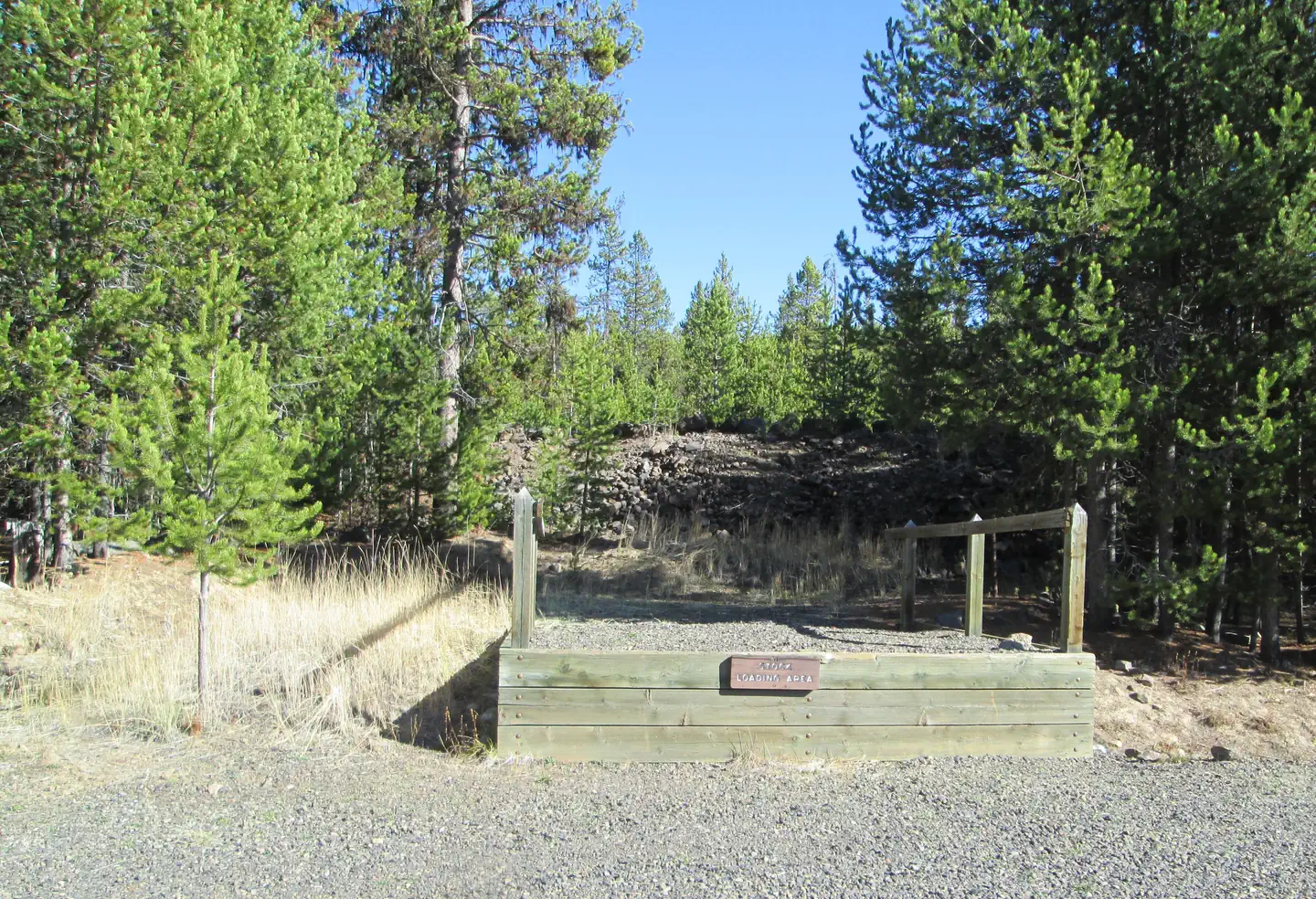
This campground features 14 tent/rv campsites, 5 tent only campsites, 1 group campsite, 3 accessible vault toilets, and stock handling/holding facilities (stock is only permitted in the north half of the campground from sites 10-16). There is no potable water or garbage service, so please pack your garbage home.
Natural Features
The campground is set amidst a lodgepole pine forest, with over half of the sites in the shade. The perennial North Fork John Day River runs adjacent to the campground where you can see spawning steelhead and chinook salmon in spring and fall. In the surrounding forests live coyotes, deer, elk, wolves, bear, and cougar, plus a myriad of small animal species.
Nearby Attractions
The historic mining town of Granite is 9 miles south. State of Oregon Parks has a restored dredge that can be toured in the town of Sumpter, 22 miles south. Olive Lake is 21 miles south and west of the campground, and offers fishing , crawfishing, swimming, motorized boating (no wake allowed) and nearby trails for hiking/horseback riding (horses are not allowed in the campground). The lake-turned-reservior was constructed as part of a hydroelectric system to support gold mining activities in the northern Blue Mountain Region in the early 1900's. Historically, water from the lake flowed through a wooden pipeline for 9 miles to the Fremont Powerhouse, where it was used to produce electricity for mines and towns. The Powerhouse is approximately 14 miles south and west of the NFJD Campground on the same road that accesses Olive Lake.
Getting there
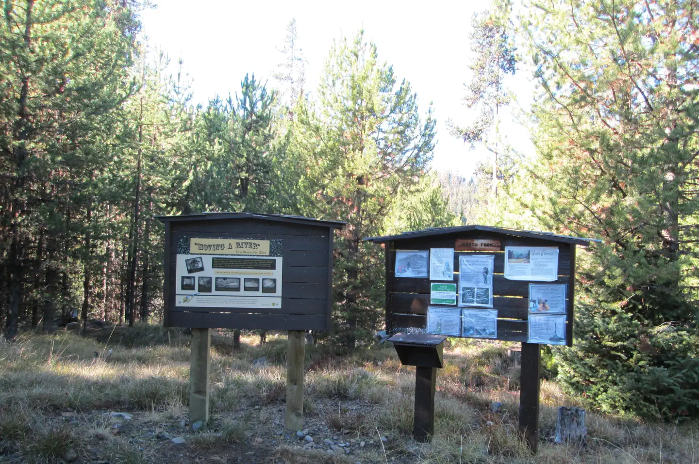
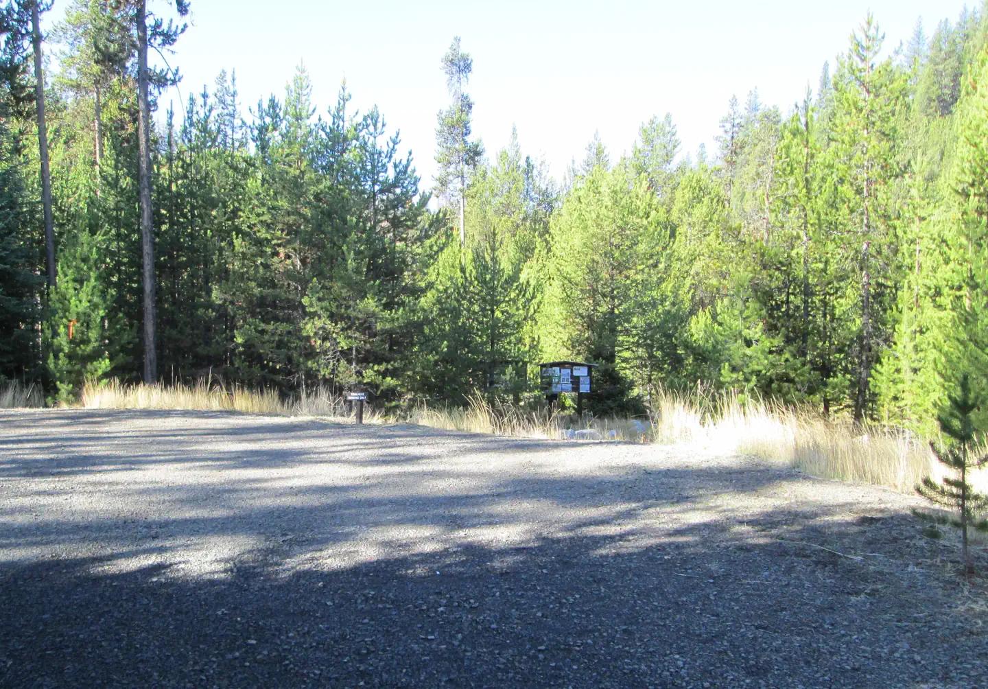
From Ukiah, OR head southeast on Forest Service Road 52 approximately 40 miles to the North Fork John Day Campground and trailhead. Parking for the trailhead is in the north end of the campground. Besides the 20-site campground, there is a large trailhead parking area, toilet, unloading ramp, and facilities for stock animals (corrals, mangers, hitching posts). This site is directly adjacent to the Wild & Scenic North Fork John Day River and the Blue Mountain National Scenic Byway.
View on Recreation.gov ↗ Get directions ↗
Photo gallery


FAQ
How do I get a reservation at North Fork John Day Campground (OR)?
Online reservations for this facility, where offered, are made through Recreation.gov. Pick a site on the map to see its calendar, or set a free Campsite Sniper alert. You complete the reservation yourself on Recreation.gov.
Does Campsite Sniper book this campground for me?
No. Campsite Sniper sends alerts and direct Recreation.gov links. It never books, pays for, holds, hoards, or resells reservations.
How current is this availability data?
Campsite Sniper does not currently hold availability data for North Fork John Day Campground (OR), so there is nothing to date here. That is a gap in coverage — it does not mean the facility is full or closed. Check Recreation.gov for current dates.
Which sites at North Fork John Day Campground (OR) fit a 35-foot RV?
13 of the 19 sites that support RV analysis have a recorded maximum of 35 ft or more; the longest recorded is 40 ft. 13 of those 19 sites have a recorded maximum length and 6 do not; they are not counted as fitting.
Stop refreshing. Let the app watch it.
Lakefront, hookups, your RV length, weekends only - set it as picky as you want.
We run paced availability checks for North Fork John Day Campground (OR). One watch covers every matching online-reservable site.
When a match opens, you get a push with a Recreation.gov link so you can review and book it yourself.
Alerts monitor online-reservable inventory only; first-come, first-served sites are not included.