Availability is not tracked here yet
The site details and map below come from the public Recreation.gov record and are accurate. For current dates and to book, go to Recreation.gov.
About Alta Campground
Overview
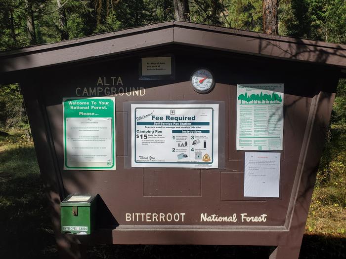
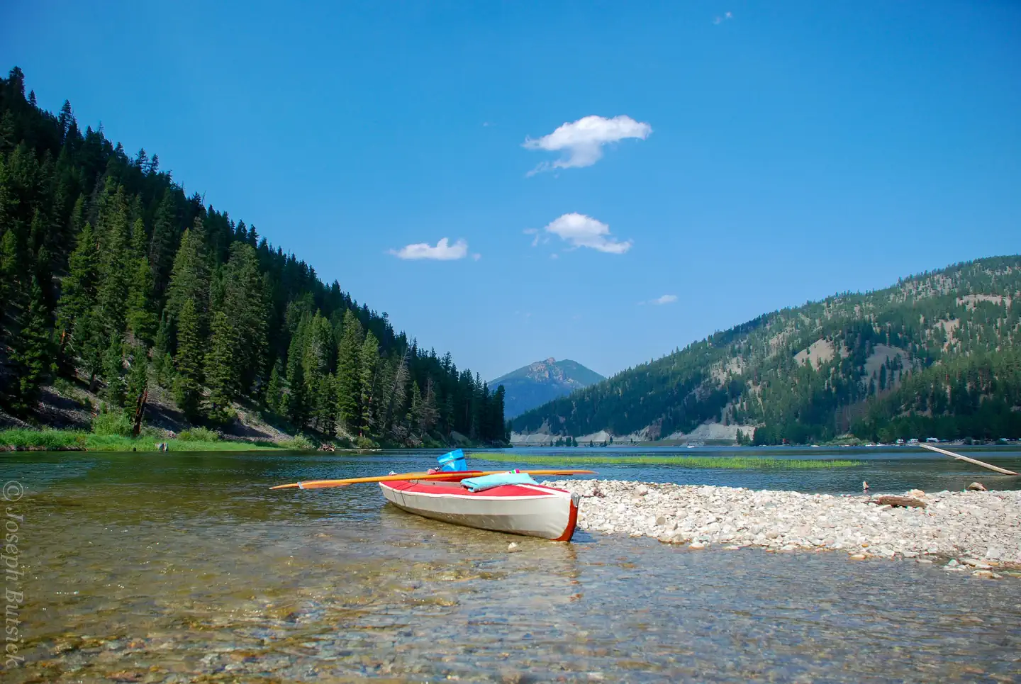
Alta Campground is located in a scenic forest in the heart of Montana's Bitterroot National Forest. The West Fork of the Bitterroot River flows nearby, giving visitors access to some of the best fishing the area has to offer, as well as other water-related recreation.
Recreation
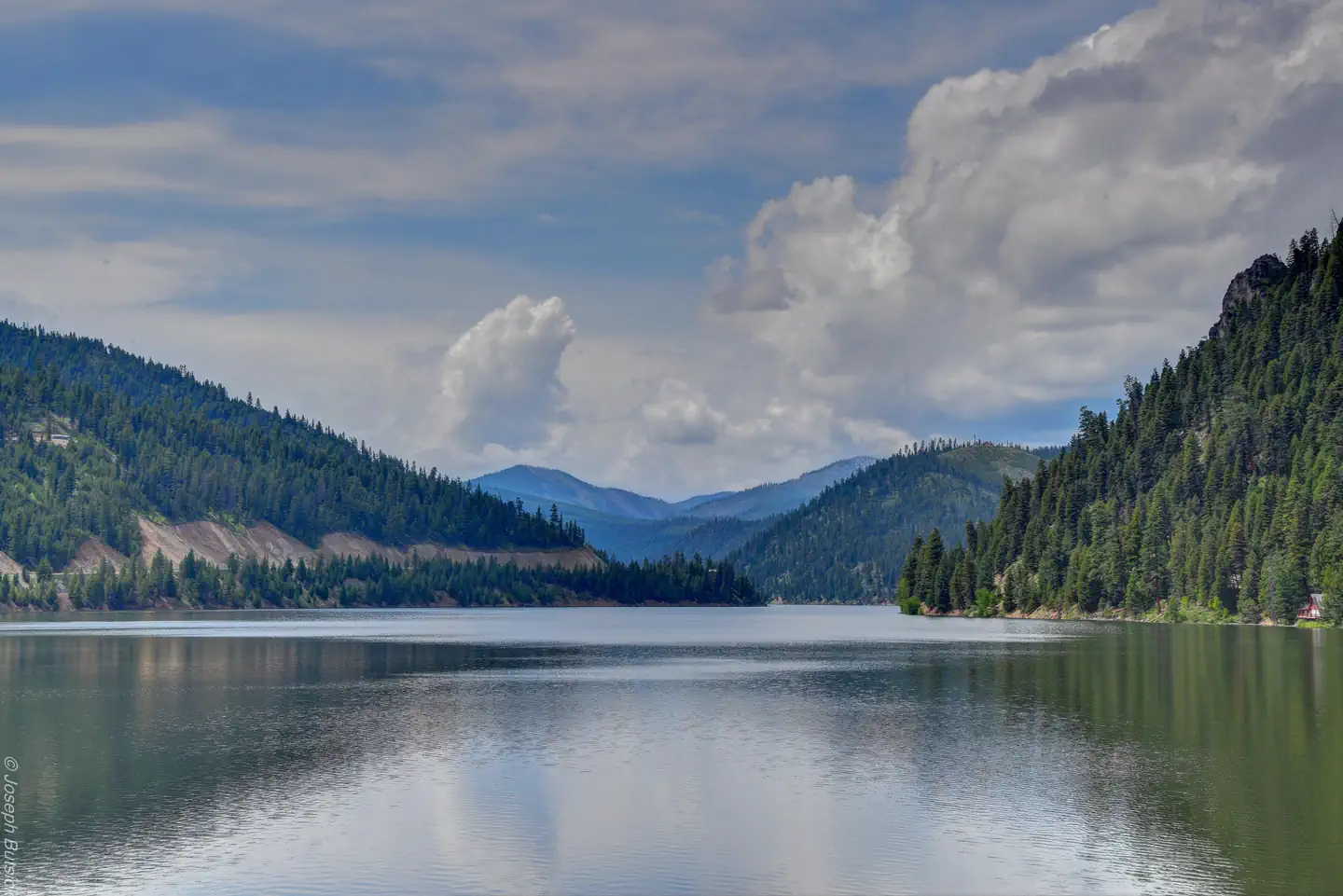
Fly fishing and wading in the Bitterroot River, which runs alongside the campground, are popular activities. A variety of trails and unimproved roads are great for exploring by bike or off-road vehicle. Hiking trails to various mountain peaks, including to Lookout, Razorback and Thunder Mountains, as well as Beaver and Deer Creek Points, are nearby. The Alta Pine interpretive trail is located 1/2 mile to the north. Painted Rocks Lake is located about five miles north of the campground. Visitors enjoy swimming, kayaking, boating and fishing. Anglers will find mountain whitefish and a variety of trout.
Facilities
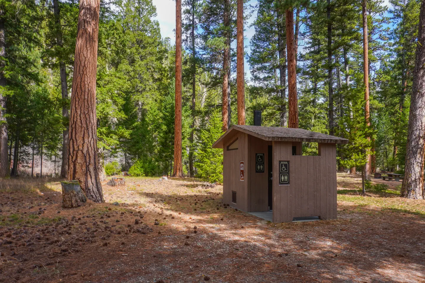
The campground offers 14 campsites, three of which are accessible, for tent and RV camping. Each site can accommodate up to 10 people and two vehicles. Utility hookups are not available. Parking spurs are gravel. Each site is equipped with a table and campfire ring with grill. Accessible vault toilets and drinking water are provided. A campground host is available on-site and trash collection bins are placed throughout the facility. One bear-proof container is provided at the campground for those traveling on bicycle or ATV to properly store food and other attractants.
Natural Features
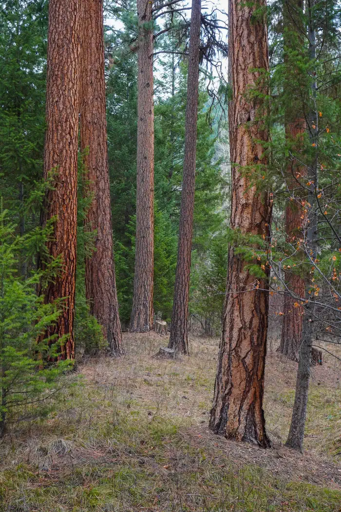
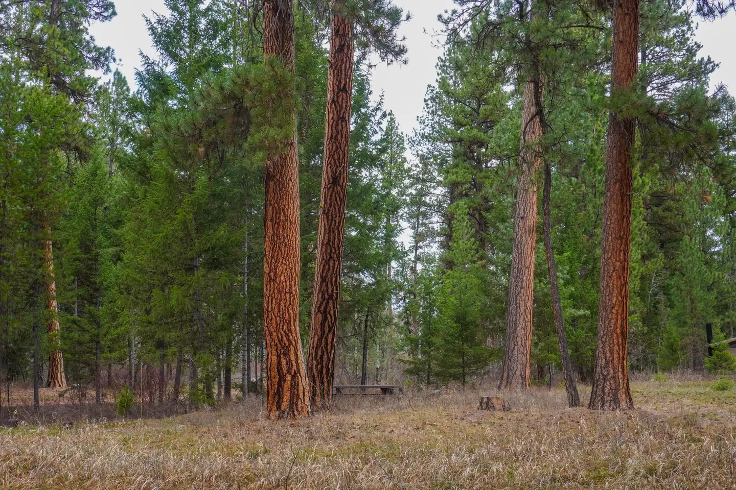
The campground is located along the West Fork of the Bitterroot River, a popular fishing river in the area. Large, yellow-barked ponderosa pine trees tower above many of the campsites, which along with fir, aspen and lodgepole pine, provide pleasant shade. The campground is situated at an elevation of about 4,580 feet. A variety of wildlife can be seen in the area, including bald eagles, piliated woodpecker, mule and white-tailed deer, moose, elk, bighorn sheep and numerous songbirds.
Nearby Attractions
The Alta Ranger Station, located on Hughes Creek FS Road #5693, was the first Forest Service Ranger Station in the United States, built in 1899. It remains a popular tourist location and is just 5 minutes from the campground. Hughes Creek, once a vibrant placer gold mining site, is an historic area which accounted for 88 percent of all the placer gold recovered in Ravalli County from 1904-1948. Horse Creek natural hot springs can be found about 18 miles south from the campground, via gravel road with high-clearance vehicle recommended. The nearest town is Conner, which provides some services and is approximately 27 miles to the north. Darby is about 32 miles away and offers full services.
Getting there
From Darby, travel south on Highway 93 for about four miles. Turn right onto Road # 473 and continue southwest, past Painted Rocks Lake, for about 30 miles to the campground on the right.
View on Recreation.gov ↗ Get directions ↗
Photo gallery






FAQ
How do I get a reservation at Alta Campground?
Online reservations for this facility, where offered, are made through Recreation.gov. Pick a site on the map to see its calendar, or set a free Campsite Sniper alert. You complete the reservation yourself on Recreation.gov.
Does Campsite Sniper book this campground for me?
No. Campsite Sniper sends alerts and direct Recreation.gov links. It never books, pays for, holds, hoards, or resells reservations.
How current is this availability data?
Campsite Sniper does not currently hold availability data for Alta Campground, so there is nothing to date here. That is a gap in coverage — it does not mean the facility is full or closed. Check Recreation.gov for current dates.
Which sites at Alta Campground fit a 35-foot RV?
14 of the 14 sites that support RV analysis have a recorded maximum of 35 ft or more; the longest recorded is 70 ft.
Stop refreshing. Let the app watch it.
Lakefront, hookups, your RV length, weekends only - set it as picky as you want.
We run paced availability checks for Alta Campground. One watch covers every matching online-reservable site.
When a match opens, you get a push with a Recreation.gov link so you can review and book it yourself.
Alerts monitor online-reservable inventory only; first-come, first-served sites are not included.