Openings · last 7 days
0
Pick a site on the map to see its site map.
The site details and map below come from the public Recreation.gov record and are accurate. For current dates and to book, go to Recreation.gov.
Only 3 openings in the last 90 days: not enough recent activity for a reliable pattern. A free Campsite Sniper alert watches around the clock instead, and pings you the moment one opens.
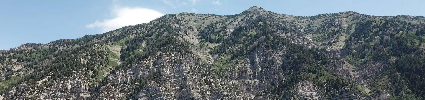
Rock Canyon Campground is located on scenic Squaw Peak Road, far above Utah Valley at an elevation of 6,500 feet. Visitors enjoy exploring local trails.
Rock Canyon Trail begins in the campground, offering excellent hiking and biking opportunities. The Squaw Peak Trail to the summit of Squaw Peak can be accessed just outside the campground. Squaw Peak Road is open to mountain biking.
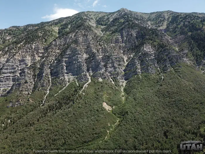
Rock Canyon is a rock climber's paradise, with hundreds of climbing routes available.
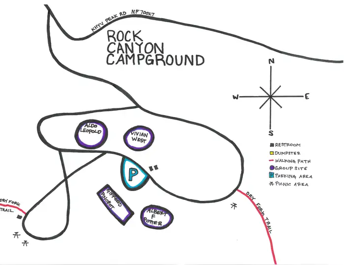
This primitive campground contains four group sites, each named after a notable figure in U.S. Forest Service history. Sites contain picnic tables and campfire circles; some have serving tables. Vault toilets are provided. Roads and parking spurs are gravel. A host is located at nearby Hope Campground.
This isolated campground is forested with dense stands of maple, scrub oak and fir trees, which offer plentiful shade. Grassy meadows and wildflowers dot this beautiful area. Stunning views of Rock Canyon and a sliver of Utah Valley are visible from a turnout just before the campground.
Part of the Wasatch Mountain Range, situated between American Fork Canyon on the north and Provo Canyon on the south, Mount Timpanogos Wilderness offers abundant rugged terrain embellished with waterfalls and summer wildflowers. You'll find forget-me-nots, alpine buttercups, bluebells, and columbine blooming in high alpine meadows. There are also outstanding glacial cirques and moraines. You'll have an excellent chance of spotting Rocky Mountain goats in the Emerald Lake area, as well as mule deer, elk, and moose. There are about 17 miles of maintained trails accessible from two trailheads: Timpooneke and Mount Timpanogos. Both trails lead to the summit of Mount Timpanogos at 11,753 feet. The stretch between Timpooneke and Aspen Grove is 12 miles long and passes through the heart of the area.
From I-15, take exit 272 toward 800 North/Highway 52. Proceed east on 800 North to the mouth of Provo Canyon. Go left into the canyon on Highway 189 for 2 miles to the Squaw Peak Road turnoff. Turn right onto Squaw Peak Road and continue 9.5 miles to the campground. The first 5 miles of Squaw Peak Road are paved. The last 4.5 miles to the campground are on maintained dirt/gravel.
View on Recreation.gov ↗ Get directions ↗





Online reservations for this facility, where offered, are made through Recreation.gov. Campsite Sniper has also detected 3 site openings here in the last 90 days, so further dates may appear. Pick a site on the map to see its calendar, or set a free Campsite Sniper alert. You complete the reservation yourself on Recreation.gov.
No. Campsite Sniper sends alerts and direct Recreation.gov links. It never books, pays for, holds, hoards, or resells reservations.
Campsite Sniper does not currently hold availability data for Rock Canyon, so there is nothing to date here. That is a gap in coverage — it does not mean the facility is full or closed. Check Recreation.gov for current dates.
Campsite Sniper detected 3 site-date openings here over the last 90 days, none in the last 7. A free alert watches around the clock and pings you the moment one appears.
No RV-analyzable site here has a recorded maximum of 35 ft or more; the longest recorded is 20 ft.
Lakefront, hookups, your RV length, weekends only - set it as picky as you want.
We run paced availability checks for Rock Canyon. One watch covers every matching site.
When a match opens, you get a push with a Recreation.gov link so you can review and book it yourself.