Openings · last 7 days
0
Pick a site on the map to see its site map.
The site details and map below come from the public Recreation.gov record and are accurate. For current dates and to book, go to Recreation.gov.
Only 26 openings in the last 90 days: not enough recent activity for a reliable pattern. A free Campsite Sniper alert watches around the clock instead, and pings you the moment one opens.
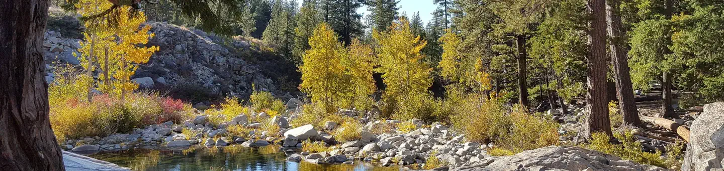
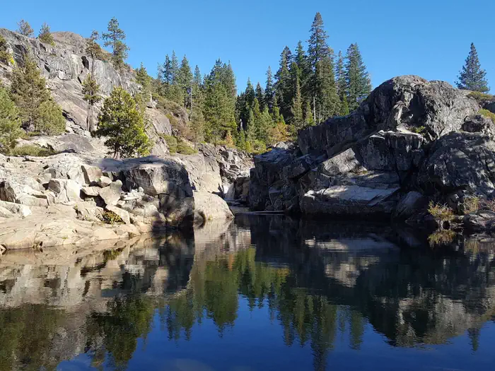
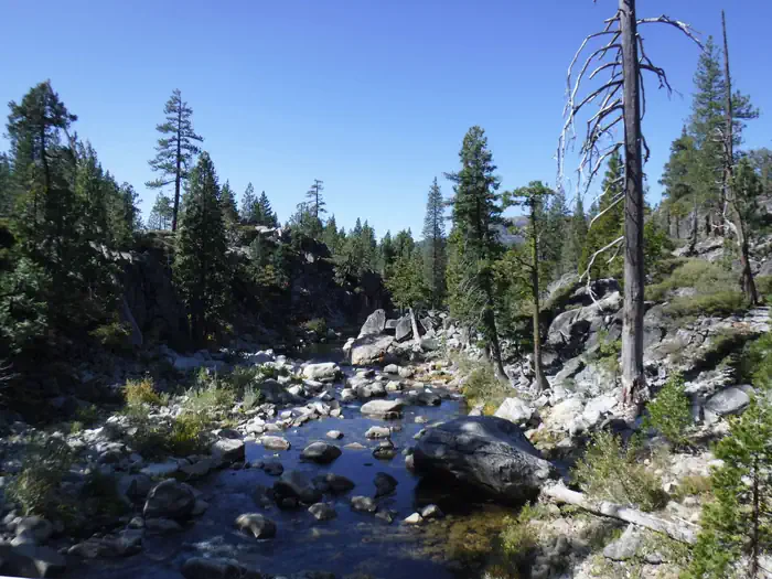
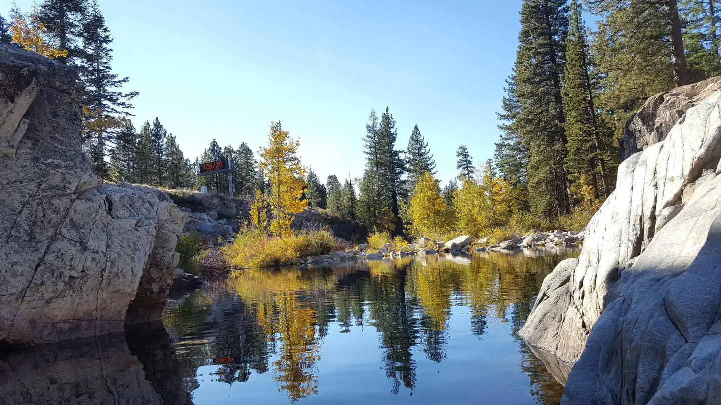
Indian Springs Campground is located in the Tahoe National Forest along Interstate 80 the South Yuba River. It is about three miles west of Big Bend and 23 miles west of Truckee. Visitors enjoy the area for its swimming, fishing, and trail opportunities, as well as its historic significance along the California Emigrant Trail.
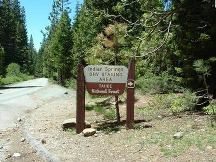
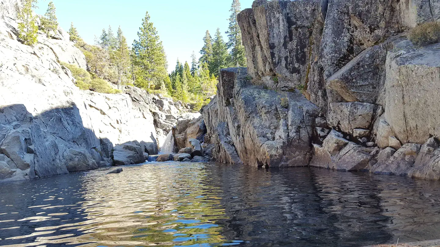
The South Yuba River offers rainbow trout fishing and a popular swimming hole is located alongside the campground in the South Yuba River. The Indian Springs OHV Staging Area is adjacent to the campground and offers access to many OHV trails including the popular Fordyce 4x4 jeep trail. The historic California Emigrant Trail passes nearby. Many additional hiking, biking and off-road vehicle trails are in the surrounding area, including the Indian Springs OHV Trailhead.
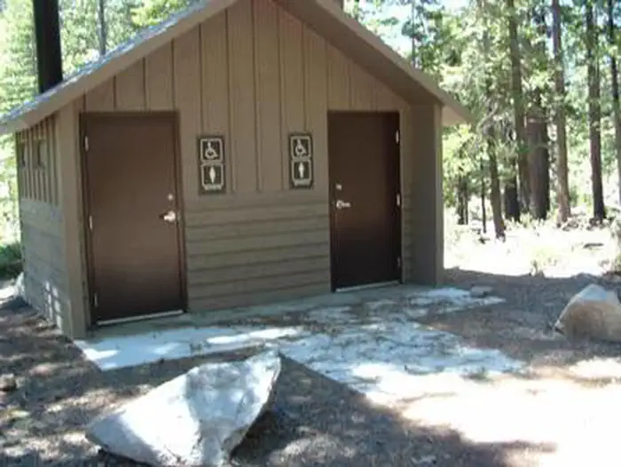
The campground offers single-family campsites, a few of which are designated as walk-to sites for tent camping only. Each site is equipped with a picnic table and campfire ring. Vault toilets, drinking water and trash collection are provided.
The campground is situated on the north bank of the South Yuba River in a scenic forest of mature cedar and pine trees, which offer ample shade. The elevation is 5,600 feet.
Donner Lake is located 19 miles east via Interstate 80 and historic Route 40, which is also known as the Lincoln Highway, the nation's first transcontinental highway. Many points of interest lie along Route 40, including China Wall, Rainbow Bridge, Sugar Bowl, Lake Van Norden and Ice Lakes. Other attractions include Donner Summit PCT, Loch Leven, and Castle Peak Trailheads, Alpha and Omega Scenic Overlook and Interpretive Trail, Chalk Bluff OHV trails, and Grouse Ridge Non-Motorized Area.
From either east bound or west bound Interstate 80, take exit 164 for Eagle Lakes Road. Turn north onto Eagle Lakes Road. Follow the road as it turns west and turn left into the campground.
View on Recreation.gov ↗ Get directions ↗


Online reservations for this facility, where offered, are made through Recreation.gov. Campsite Sniper has also detected 26 site openings here in the last 90 days, so further dates may appear. Pick a site on the map to see its calendar, or set a free Campsite Sniper alert. You complete the reservation yourself on Recreation.gov.
No. Campsite Sniper sends alerts and direct Recreation.gov links. It never books, pays for, holds, hoards, or resells reservations.
Campsite Sniper does not currently hold availability data for Indian Springs, so there is nothing to date here. That is a gap in coverage — it does not mean the facility is full or closed. Check Recreation.gov for current dates.
Campsite Sniper detected 26 site-date openings here over the last 90 days, none in the last 7. A free alert watches around the clock and pings you the moment one appears.
2 of the 34 sites that support RV analysis have a recorded maximum of 35 ft or more; the longest recorded is 35 ft.
Lakefront, hookups, your RV length, weekends only - set it as picky as you want.
We run paced availability checks for Indian Springs. One watch covers every matching online-reservable site.
When a match opens, you get a push with a Recreation.gov link so you can review and book it yourself.
Alerts monitor online-reservable inventory only; first-come, first-served sites are not included.