No detected openings were recorded in the last 90 days. Campsite Sniper monitors PINE FLAT PICNIC SITES - A and B continuously and will alert you if that changes.
Of the 88 tracked reservation dates (Sep 18 – Oct 31, 2026): 87 open for online reservation · 1 reserved.
Where the open windows are
Load status
Sep 18 – Oct 31, 2026Of the open reservation dates on mapped day-use units, 48 fall on weekdays and 39 on weekends (Fri–Sun).
Open dates by month
Sep 2026 – Oct 2026October holds the most room. 62 of 62 reservation dates are still open there.
Holiday windows — day use
Units open per date · of 2 day-use units| Window | Date | Units open | Status |
|---|---|---|---|
| Labor Day | SAT Sep 5 | 0 | None open |
| SUN Sep 6 | 0 | None open | |
| MON Sep 7 | 0 | None open |
Labor Day: no online availability on any tracked date.
Availability by day-use unit
Most open reservation dates · tracked window| Unit | Open reservation dates |
|---|---|
| 01B | 44 |
| 01A | 43 |
The 2 day-use units with the most open reservation dates in the current snapshot. Pair a bookable date with a free alert to cover everything else.
Next windows
As of Sep 18, 2026 snapshotThe next bookable date is Sep 18; the first open weekend starts Sep 18. Campsite Sniper can watch later dates for you.
Reservation dates
All 2 day-use units with current availability
| Unit | Open reservation dates | Consecutive dates | Dates |
|---|---|---|---|
| 01B | 44 | 44 dates | Sep 18, Sep 19, Sep 20, Sep 21, Sep 22, Sep 23, Sep 24, Sep 25, Sep 26, Sep 27, Sep 28, Sep 29 +32 more |
| 01A | 43 | 42 dates | Sep 18, Sep 20, Sep 21, Sep 22, Sep 23, Sep 24, Sep 25, Sep 26, Sep 27, Sep 28, Sep 29, Sep 30 +31 more |
About PINE FLAT PICNIC SITES - A and B
Overview
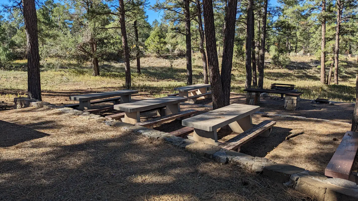
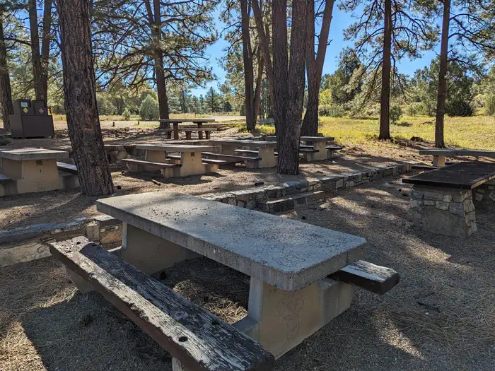
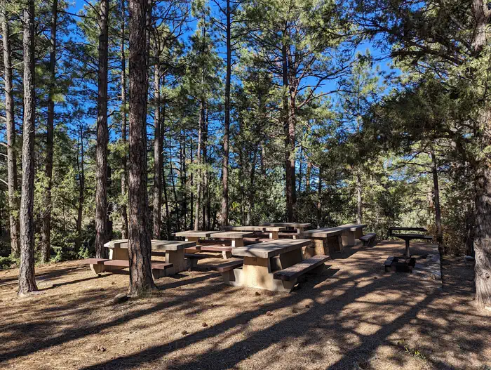
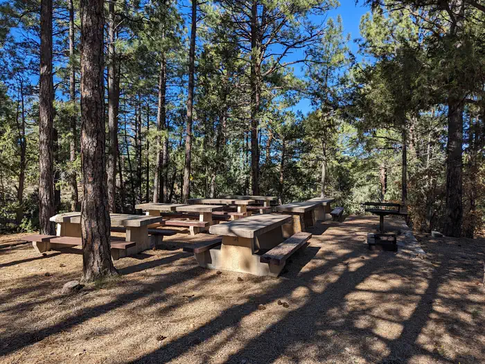
Pine Flat picnic sites A & B are accessible picnic areas. They are located on State Highway 337 (James McGrane Memorial Highway or Old South 14) approximately 7 miles from I-40. State Hwy 337 runs parallel to Pine Flat picnic area making it easy to identify and enter. From the entry way to your left you will find two reserve only sites. The area is surrounded by pinon, juniper, scrub oak and ponderosa pine that lend shade to both reservation areas. Cool mountain breezes are common here. The sound of rustling foliage render Pine Flat picnic sites an excellent place to lean back, relax and maybe even take a nap. Each site can accommodate fifty people.
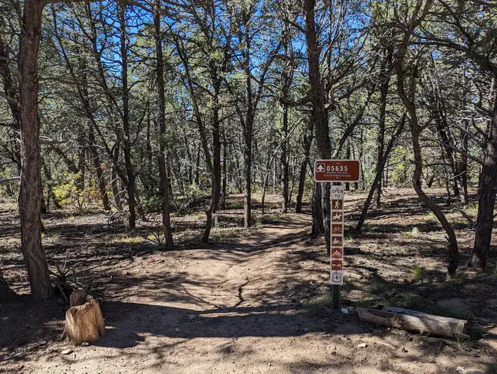
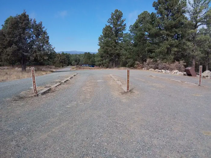
Pine Flat Trailhead has pull through trailer parking in addition to regular vehicle parking, which is located to the right as you enter the gate. Follow the road south to the trailhead that leads into the Manzanita Mountains Trail system.
You will also find dispersed picnic tables throughout the Pine Flat sites, which are available on a first-come, first-served basis. Pine Flat Sites A & B were built in 1956 by the Forest Service with the intent to provide picnic sites for large group use. Please take care of your public land by using Leave No Trace ethics. There is no overnight camping at this site.
Recreation
Pine Flat connector trail leads to a multiuse motorized trail system. The trail system has loops and straightaways to satisfy just about any recreationist. For more information on OHV use, consult the District Motor Vehicle Use Map.
Facilities
Please note: You must make two separate bookings for site A and B if you want to reserve both. Please verify the site you have reserved when checking out.
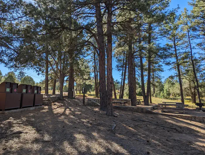
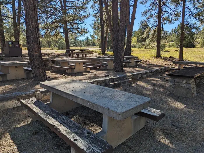
As you enter the area, to the left you will find two reserve only sites, A and B. Both sites have grills, tables, vault toilets and bear proof trash containers.
The trailering area for horse and motorcycle trailers is located to the right as you enter the gate. Follow the road south to the trailhead that leads into the Manzanita Mountains Trail system.
Dispersed picnic tables are available on a first-come, first-served basis. They are located throughout the area along the east side of the Pine Flat site.
Water and electricity, firewood/charcoal are not available at the site. Accessible vault toilets and bear proof trash receptacles are provided. Bears frequent the area; More about Bears and Food .
Have questions? (505) 281-3304.
Natural Features
Pine Flat picnic ground is 7,240 feet in elevation. It is fairly flat which makes it easy to park a trailer and unload your OHVs or horses. Hikes in the surrounding area can vary in elevation by approximately 50-120 feet.
Getting there
From Albuquerque, drive east on I-40 to Tijeras Exit 175; at the traffic light drive straight ahead and continue south for 7 miles on State Road 337 (James McGrane Memorial Highway). Look for the Cibola National Forest - Pine Flat Picnic sign on the east side of the road. As you enter the picnic site, look to your left. There you will find both reserve only sites A and B.
View on Recreation.gov ↗ Get directions ↗
Photo gallery
FAQ
How do I get a reservation at PINE FLAT PICNIC SITES - A and B?
Reservations for PINE FLAT PICNIC SITES - A and B are made through Recreation.gov. The current snapshot shows substantial availability: 87 of 88 tracked reservation dates are open (98.9%), though availability can change. Pick the unit on the map to see its reservation calendar, or set a free Campsite Sniper alert. You complete the reservation yourself on Recreation.gov.
Does Campsite Sniper book this facility for me?
No. Campsite Sniper sends alerts and direct Recreation.gov links. It never books, pays for, holds, hoards, or resells reservations.
How current is this availability data?
Campsite Sniper re-checks public Recreation.gov availability for this facility every hour and republishes whenever anything changes. This facility's data last changed at Sep 18, 2026 16:19 UTC; an older timestamp means nothing has changed since that time, not that checking stopped. Always confirm final availability on Recreation.gov when you book.
Which month has the most availability at PINE FLAT PICNIC SITES - A and B?
October 2026, with 62 open reservation dates in the current snapshot of 62.
When is the next open date at PINE FLAT PICNIC SITES - A and B?
As of the Sep 18, 2026 snapshot: the next open date is Fri, Sep 18 and the next open weekend starts Fri, Sep 18. Detected openings can add earlier dates at any time; a free Campsite Sniper alert catches those the moment they appear.
Let the app watch this shelter
Choose the reservation dates you want at PINE FLAT PICNIC SITES - A and B.
Campsite Sniper can monitor this facility and notify you if a selected date becomes available.
When a selected date becomes available, you get a push with a Recreation.gov link so you can review and book it yourself.