Availability is not tracked here yet
The site details and map below come from the public Recreation.gov record and are accurate. For current dates and to book, go to Recreation.gov.
About Ponderosa Picnic Area
Overview
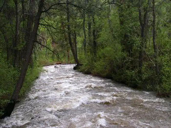
Ponderosa Picnic Area is located along the Beaver Canyon Scenic Byway. It is next to the Beaver River, at an elevation of 7,000 feet. Visitors enjoy fishing and relaxing along the river.
Recreation
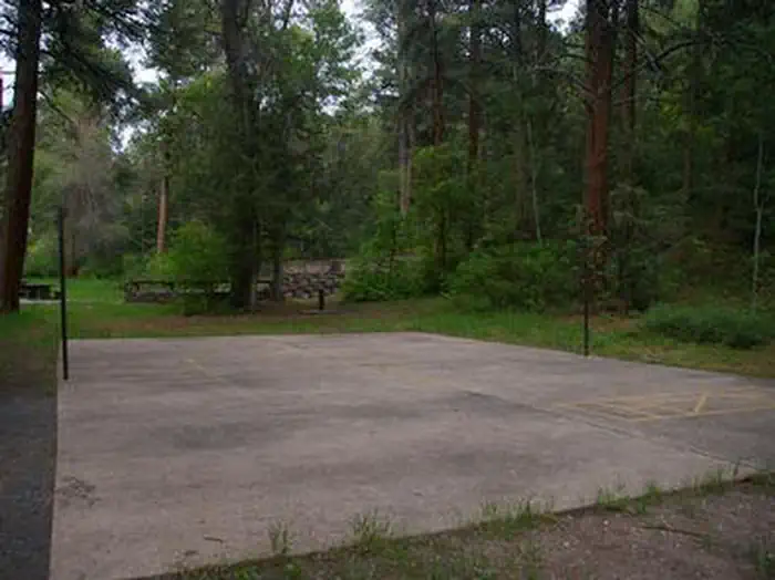
The Beaver River offers great rainbow and brook trout fishing. Hiking and biking trails begin a short drive east. Horseshoe pits and a volleyball court are available, but picnickers must bring their own equipment (horseshoes, net and a ball).
Facilities
The picnic area is a day-use site for large groups, making it a perfect place for family reunions and church outings. Site 1, called East, can accommodate up to 120 people, while site 2, called West, can accommodate up to 80 people. Reservations can be made for either individual sites or the whole area at once.
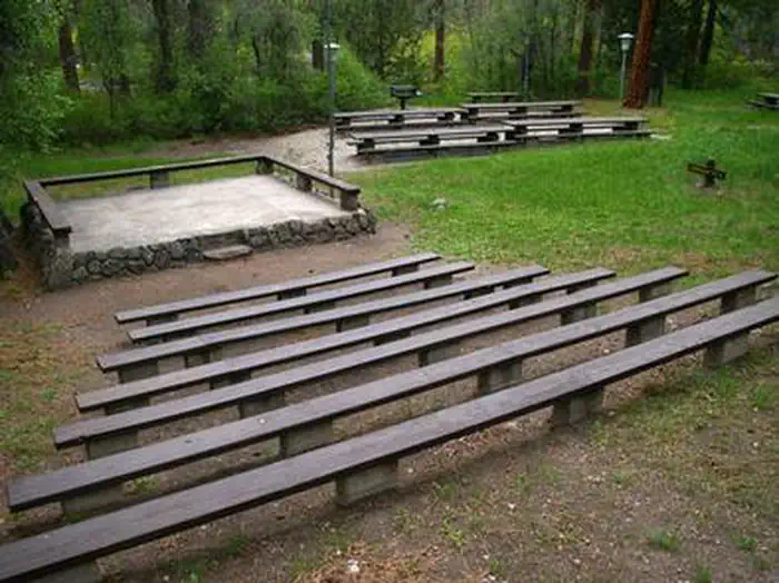
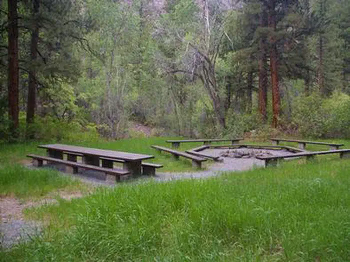
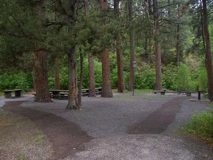
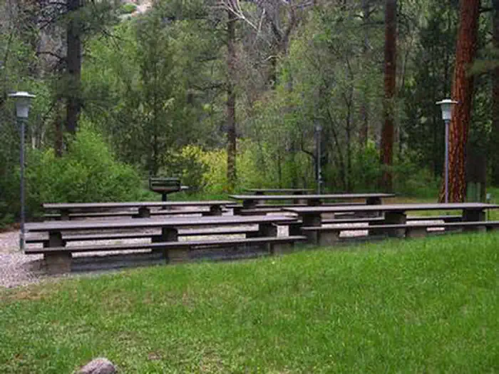
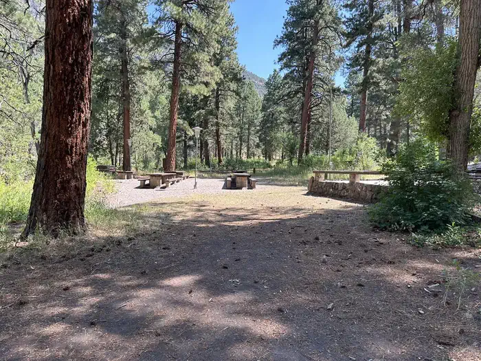
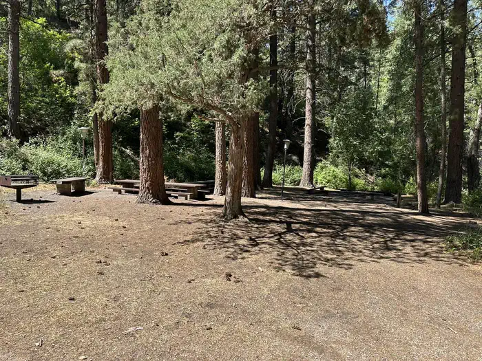
Each site contains tables, grills, campfire circles, electric lights. Vault toilets and drinking water are provided. An amphitheater with bench seating is also located on-site.
Natural Features
Towering ponderosa pines, cottonwoods, aspens and maples provide partial shade in the grassy, gently sloping picnicking site. Between the trees are scenic views of the canyon.
Nearby Attractions
Beaver Canyon Scenic Byway curves past the picnic area, offering 17 miles of scenic driving through the beautiful Tushar Mountains. Numerous lakes and streams throughout the area provide fishing, boating and canoeing opportunities.
Getting there
From Beaver, Utah, travel east on paved State Route 153, the Beaver Canyon Scenic Byway, for approximately 9 miles, to the picnic area.
View on Recreation.gov ↗ Get directions ↗
Photo gallery
FAQ
How do I get a reservation at Ponderosa Picnic Area?
Online reservations for this facility, where offered, are made through Recreation.gov. Pick the unit on the map to see its reservation calendar, or set a free Campsite Sniper alert. You complete the reservation yourself on Recreation.gov.
Does Campsite Sniper book this facility for me?
No. Campsite Sniper sends alerts and direct Recreation.gov links. It never books, pays for, holds, hoards, or resells reservations.
How current is this availability data?
Campsite Sniper does not currently hold availability data for Ponderosa Picnic Area, so there is nothing to date here. That is a gap in coverage — it does not mean the facility is full or closed. Check Recreation.gov for current dates.
Let the app watch this shelter
Choose the reservation dates you want at Ponderosa Picnic Area.
Campsite Sniper can monitor this facility and notify you if a selected date becomes available.
When a selected date becomes available, you get a push with a Recreation.gov link so you can review and book it yourself.