Availability is not tracked here yet
The site details and map below come from the public Recreation.gov record and are accurate. For current dates and to book, go to Recreation.gov.
About Idlewild
Overview
Idlewild Campground is the perfect place for large gatherings in any weather. In sun, rain or snow, there are plenty of ways to enjoy the outdoors while spending time with friends and family.
The campground is situated along Highway 395 north of Burns, Oregon. In the summer, it is popular with hikers and mountain bikers. In the winter, visitors can snowmobile and cross-country ski.
Recreation
Idlewild offers opportunities for camping, picnicking, hiking and mountain biking. Devine Summit Trail begins within the campground. Snowmobiling and cross-country skiing bring visitors to the area in the winter.
Facilities
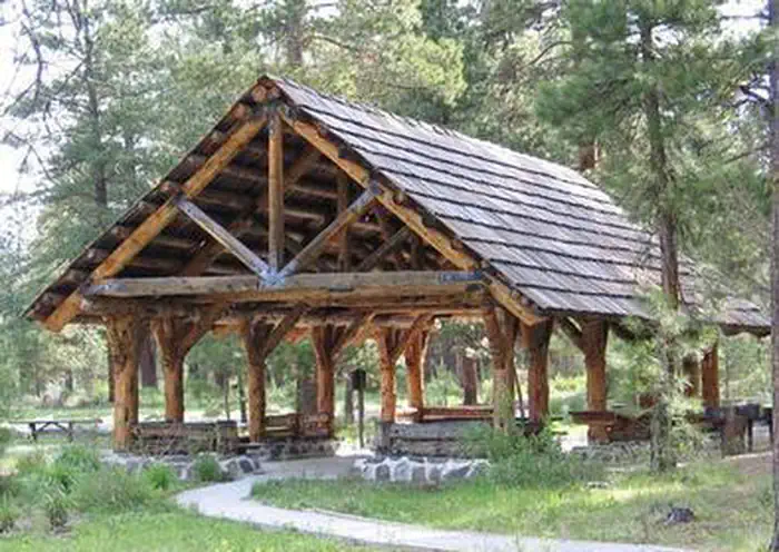
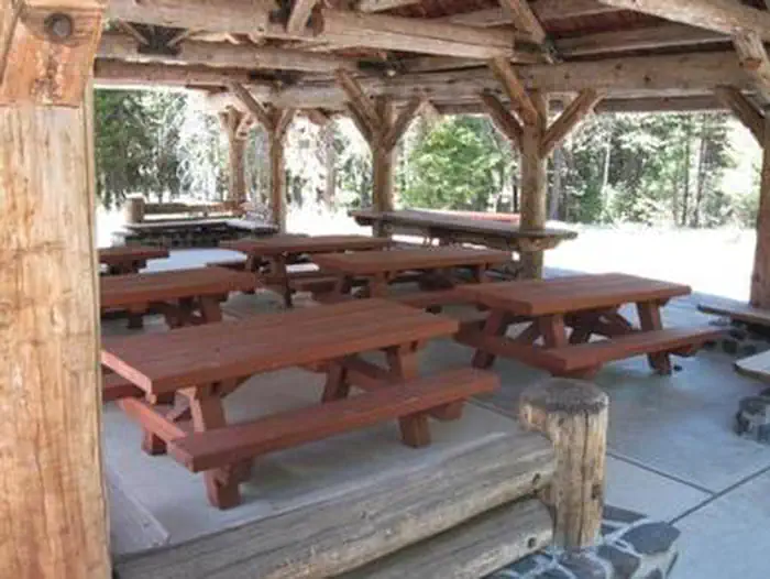
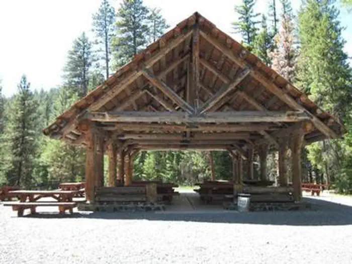
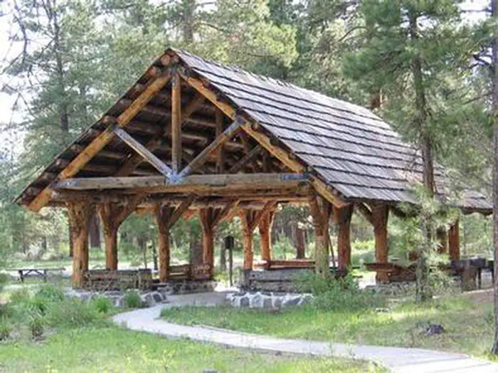
Idlewild contains one accessible, group day-use picnic shelter available for reservations for up to 75 people. It is equipped with picnic tables, a campfire ring and grills. Vault toilets and drinking water are provided. Individual sites for overnight camping are available on a first-come, first-served basis.
Natural Features
The campground is situated at an elevation of 5,000 feet in a large stand of Ponderosa pines. The group shelter sits near a meadow within Idlewild Campground. The Malheur National Forest encompasses 1.46 million acres in the Blue Mountains of eastern Oregon. The forest's dramatic landscapes include the Strawberry Mountain Wilderness, with 9,038' Strawberry Mountain, which extends east to west through the heart of the forest, and the Monument Rock Wilderness along the eastern boundary.
Nearby Attractions
The campground is located a short drive from Burns, Oregon. There are horse trails and equestrian camping within 10 miles of Idlewild.
Getting there
From Burns, OR: Travel northeast toward Vale 2.8 miles on US Highway 20 to the junction with US Highway 395, turn left onto US Highway 395 and head north. Follow US Highway 395 for approximately 14.6 miles to the junction with Forest Road 2820. Turn right and continue on Forest Road 2820 for 0.8 miles to the junction with Idlewild Campground Road. Turn right after the Sno-Park and follow Idlewild Road for approximately 1 mile to the campground.
View on Recreation.gov ↗ Get directions ↗
Photo gallery
FAQ
How do I get a reservation at Idlewild?
Online reservations for this facility, where offered, are made through Recreation.gov. Pick the unit on the map to see its reservation calendar, or set a free Campsite Sniper alert. You complete the reservation yourself on Recreation.gov.
Does Campsite Sniper book this facility for me?
No. Campsite Sniper sends alerts and direct Recreation.gov links. It never books, pays for, holds, hoards, or resells reservations.
How current is this availability data?
Campsite Sniper does not currently hold availability data for Idlewild, so there is nothing to date here. That is a gap in coverage — it does not mean the facility is full or closed. Check Recreation.gov for current dates.
Let the app watch this shelter
Choose the reservation dates you want at Idlewild.
Campsite Sniper can monitor this facility and notify you if a selected date becomes available.
When a selected date becomes available, you get a push with a Recreation.gov link so you can review and book it yourself.