Availability is not tracked here yet
The site details and map below come from the public Recreation.gov record and are accurate. For current dates and to book, go to Recreation.gov.
About Lower Penstemon
Overview
Lower Penstemon Campground is located along the scenic Rock Creek Road, in southern Idaho, at an elevation of 6,600 feet. Visitors come to the area to enjoy its abundant trails and natural beauty.
Recreation
Hiking, mountain biking, horseback riding and off-road vehicle trails crisscross the surrounding area. Third Fork, Pike Mountain, Rim View and Porcupine Spring trails all begin nearby. Rock Creek runs along the campground, offering good trout fishing.
Facilities
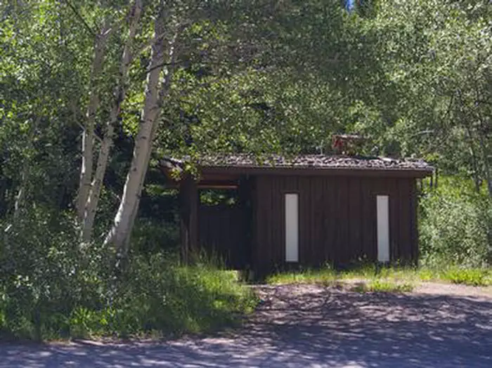
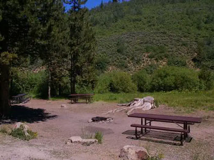
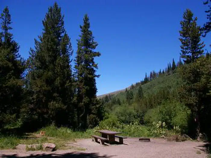
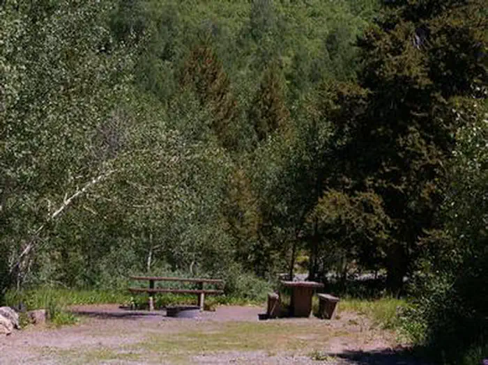
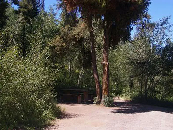
The campground contains single-family campsites with picnic tables and campfire rings. Vault toilets and drinking water are provided. Roads and parking spurs within the campground are gravel. Because the campground is situated along the main road, some noise from passing cars is to be expected.
Natural Features
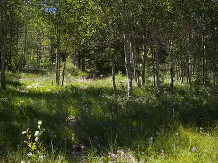
The campground is situated in a mixed conifer and aspen forest, just off Rock Creek Road. Most sites have partial shade. Summer wildflowers dot the landscape and wildlife can be seen frequently in the surrounding area.
Getting there
Travel south on Twin Falls County Road G3 which becomes Forest Road 515, commonly known as Rock Creek Road, for approximately 27 miles from Hansen.
View on Recreation.gov ↗ Get directions ↗
Photo gallery

FAQ
How do I get a reservation at Lower Penstemon?
Online reservations for this facility, where offered, are made through Recreation.gov. Pick a site on the map to see its calendar, or set a free Campsite Sniper alert. You complete the reservation yourself on Recreation.gov.
Does Campsite Sniper book this campground for me?
No. Campsite Sniper sends alerts and direct Recreation.gov links. It never books, pays for, holds, hoards, or resells reservations.
How current is this availability data?
Campsite Sniper does not currently hold availability data for Lower Penstemon, so there is nothing to date here. That is a gap in coverage — it does not mean the facility is full or closed. Check Recreation.gov for current dates.
Which sites at Lower Penstemon fit a 35-foot RV?
No RV-analyzable site here has a recorded maximum of 35 ft or more; the longest recorded is 30 ft.
Stop refreshing. Let the app watch it.
Lakefront, hookups, your RV length, weekends only - set it as picky as you want.
We run paced availability checks for Lower Penstemon. One watch covers every matching site.
When a match opens, you get a push with a Recreation.gov link so you can review and book it yourself.