Openings · last 7 days
0
Pick a site on the map to see its site map.
The site details and map below come from the public Recreation.gov record and are accurate. For current dates and to book, go to Recreation.gov.
Only 36 openings in the last 90 days: not enough recent activity for a reliable pattern. A free Campsite Sniper alert watches around the clock instead, and pings you the moment one opens.
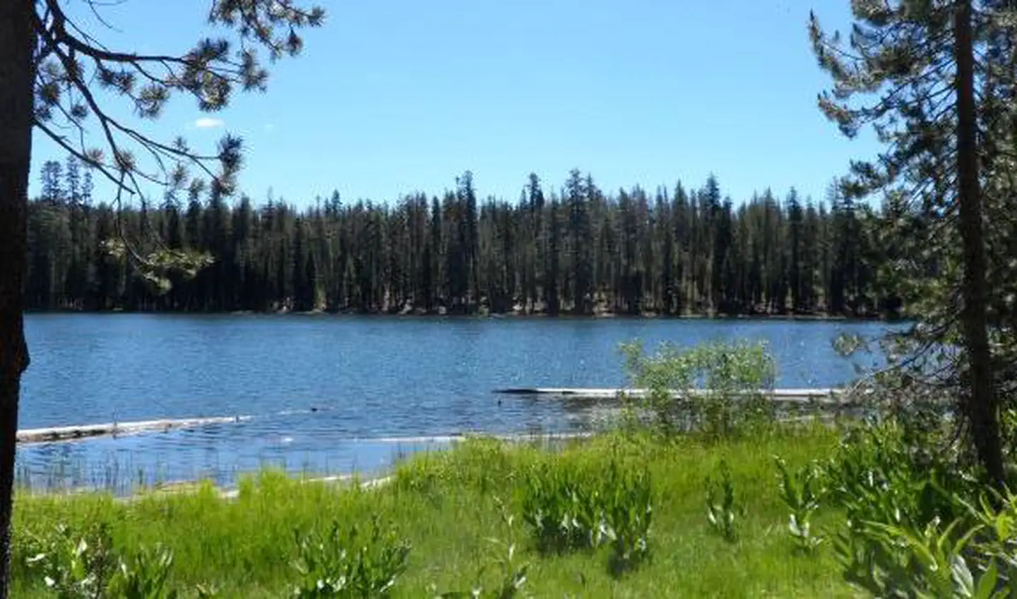
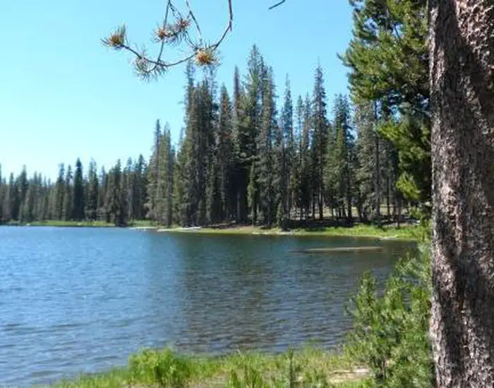
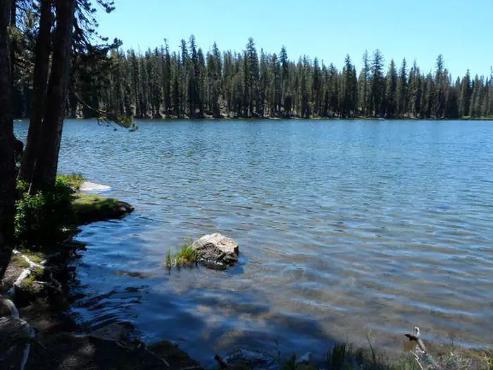
Summit Lake South Campground (elevation 6,700 ft.) is conveniently located on the main road of Lassen Volcanic National Park. The campground is within walking distance of the small but scenic Summit Lake and eight miles from the 10,457-ft. Lassen Peak, the largest volcano in the park.
Hikers will find one of the park's major trails only 1/4-mile away from the campground and many more within a close proximity. Summit Lake South is on the opposite side of the lake from Summit Lake North Campground.
The campground is a hub for hiking and backpacking trails within the park. Campers can access many of the park's 150 miles of hiking trails from the Summit Lake area. The Cluster Lakes loop trail--a major trailhead into the park's interior that bypasses several alpine lakes and is popular among birders--is located a short walk away at the Summit Lake Ranger Station. This is the closest campground to the Lassen Peak Trail and within 10 miles of the hydrothermal area, Bumpass Hell. Educational programs are presented at an amphitheater within the facility.
This facility has vault toilets, drinking water, campfire rings, picnic tables and a more secluded tent-only loop. There are no flush toilets. For more information visit Campgrounds of Lassen Volcanic .
The national park is known for its volcanic history, as well as its diversity of plants and animals. It contains 300 active volcanic domes and many hydrothermal features, such as mud pots and steam vents. Lassen Peak is the southernmost active volcano in the Cascades, and the second-most recent volcano to erupt in the lower 48 of the United States before Mount Saint Helens.
Lassen National Park boasts over 700 species of flowering plants and 250 native species including birds, mammals, reptiles and fish. The park is at the junction of the Cascade Mountains, the Sierra Nevada Mountains and the Great Basin, thus providing many unique habitats.
From Redding, California take State Highway 44 east approximately 48 miles to the Manzanita Lake entrance of the park. The campground is 14 miles south of the entrance on the main park road.
View on Recreation.gov ↗ Get directions ↗


Online reservations for this facility, where offered, are made through Recreation.gov. Campsite Sniper has also detected 36 site openings here in the last 90 days, so further dates may appear. Pick a site on the map to see its calendar, or set a free Campsite Sniper alert. You complete the reservation yourself on Recreation.gov.
No. Campsite Sniper sends alerts and direct Recreation.gov links. It never books, pays for, holds, hoards, or resells reservations.
Campsite Sniper does not currently hold availability data for Summit Lake South, so there is nothing to date here. That is a gap in coverage — it does not mean the facility is full or closed. Check Recreation.gov for current dates.
Campsite Sniper detected 36 site-date openings here over the last 90 days, none in the last 7. A free alert watches around the clock and pings you the moment one appears.
6 of the 45 sites that support RV analysis have a recorded maximum of 35 ft or more; the longest recorded is 59 ft.
Lakefront, hookups, your RV length, weekends only - set it as picky as you want.
We run paced availability checks for Summit Lake South. One watch covers every matching site.
When a match opens, you get a push with a Recreation.gov link so you can review and book it yourself.