Openings · last 7 days
0
Pick a site on the map to see its site map.
The site details and map below come from the public Recreation.gov record and are accurate. For current dates and to book, go to Recreation.gov.
72 openings were recorded here in the last 90 days, but none in the last 30 — the pattern below would describe the past, not this season, so we do not chart it. A free Campsite Sniper alert watches around the clock instead, and pings you the moment one opens.
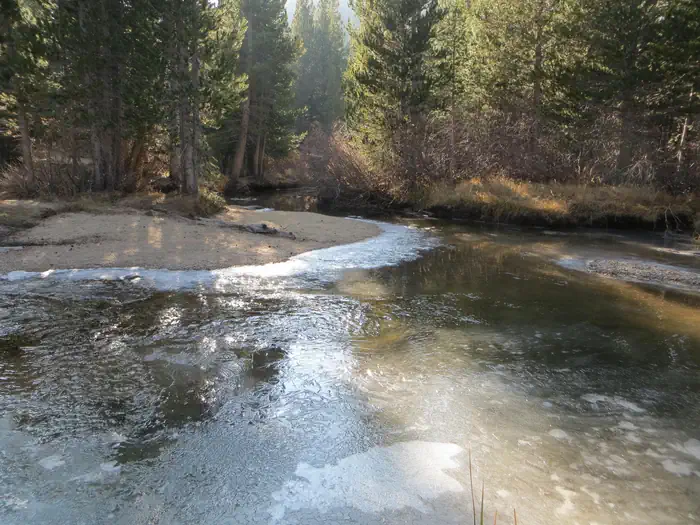
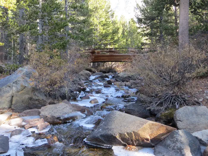
Rock Creek and other waterways in the eastern Sierra Nevada Mountains are known for exceptional trout fishing. A catch from the lake may include brook, brown, rainbow and stocked Alpers trout, while anglers may be treated to golden trout in the backcountry. Power boats on the lake are limited to electric motors only.
The area's majestic scenery and challenging trails are a draw for hikers, mountain bikers and horseback riders. The Tamarack Trail begins in the campground and wanders up to several high-elevation, glacially-carved alpine lakes and ponds.
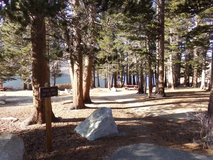
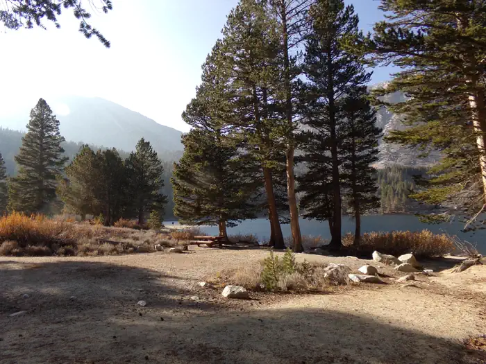
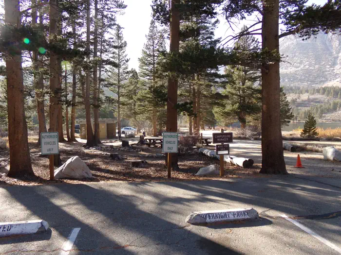
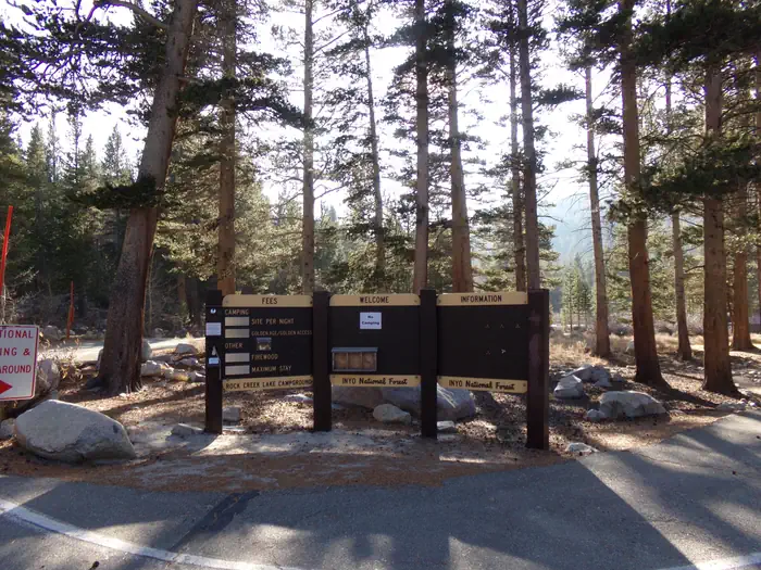
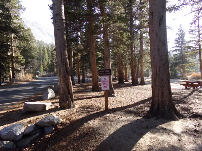
The campsites are well-spaced along the lake shore, with several tent-only, walk-in sites overlooking the lake. Boat rentals, educational programs, groceries and showers are all nearby. Firewood is available on-site for a fee. Bears inhabit the area, so bear-proof lockers are provided for campers to store food.
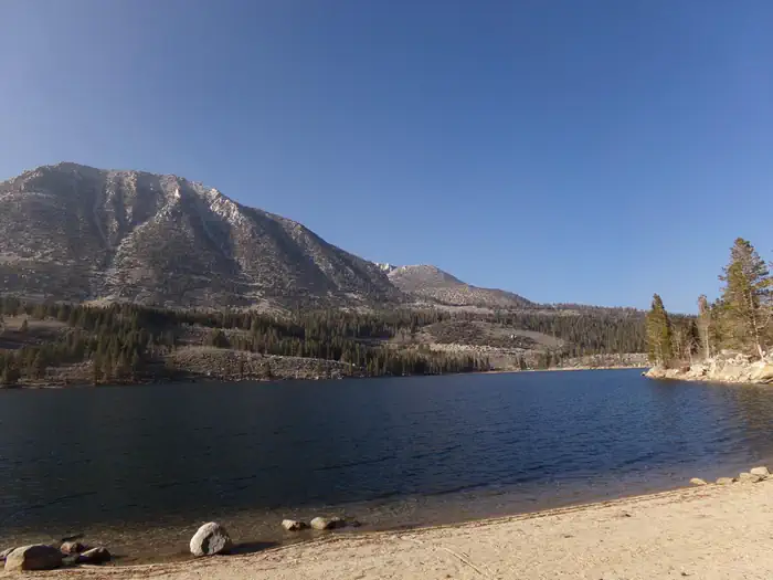
The campsites at Rock Creek Lake sit on a low hill with scattered aspen and lodgepole pine trees overlooking the lake's crystal blue waters. At an elevation of 9,600 feet, the facility affords visitors excellent mountain views.
The area is home to abundant wildlife, including black bear, mountain lions, mule deer, pine martin, pika and many species of fish and birds.
Visitors have convenient access the magnificent John Muir Wilderness, which stretches for 100 miles along the crest of the Sierra Nevada Mountains. It is a land of lofty snow-capped mountains, deep canyons and vast expanses of glacially-carved terrain, and offers extensive hiking, mountain biking and horseback riding trails.
From Mammoth Lakes, California, drive south on Highway 395 for approximately 13 miles. Take the Tom's Place exit and proceed west up the canyon for about 10 miles. At the lake, follow the signs to the family campground.
View on Recreation.gov ↗ Get directions ↗


Online reservations for this facility, where offered, are made through Recreation.gov. Campsite Sniper has also detected 72 site openings here in the last 90 days, so further dates may appear. Pick a site on the map to see its calendar, or set a free Campsite Sniper alert. You complete the reservation yourself on Recreation.gov.
No. Campsite Sniper sends alerts and direct Recreation.gov links. It never books, pays for, holds, hoards, or resells reservations.
Campsite Sniper does not currently hold availability data for Rock Creek Lake (Inyo National Forest, CA), so there is nothing to date here. That is a gap in coverage — it does not mean the facility is full or closed. Check Recreation.gov for current dates.
Campsite Sniper detected 72 site-date openings here over the last 90 days, none in the last 7. A free alert watches around the clock and pings you the moment one appears.
Lakefront, hookups, your RV length, weekends only - set it as picky as you want.
We run paced availability checks for Rock Creek Lake (Inyo National Forest, CA). One watch covers every matching site.
When a match opens, you get a push with a Recreation.gov link so you can review and book it yourself.