Availability is not tracked here yet
The site details and map below come from the public Recreation.gov record and are accurate. For current dates and to book, go to Recreation.gov.
About Browne Lake Group Sites
Overview
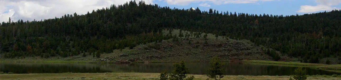
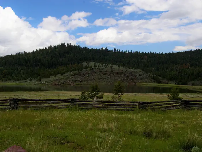
Browne Lake Group Sites are located next to their namesake lake in a high mountain meadow, at an elevation of 8,200 feet. Visitors enjoy fishing, canoeing and exploring miles of hiking and ATV trails.
Recreation
Fishing for rainbows, brook trout and kokanee salmon is a popular activity at Browne Lake, as is canoeing and other non-motorized boating.
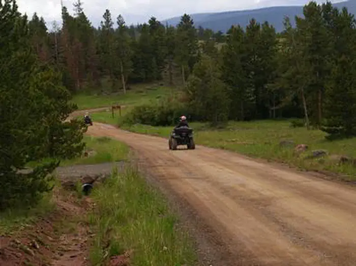
Several ATV and hiking trails are in the immediate area: Leidy Peak Trailhead is within the campground. Sheep Creek Lake, with cutthroat and brook trout fishing, is nearby.
Facilities
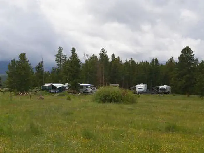
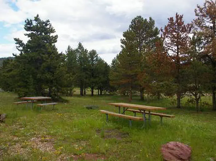
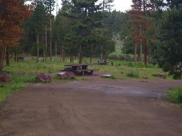
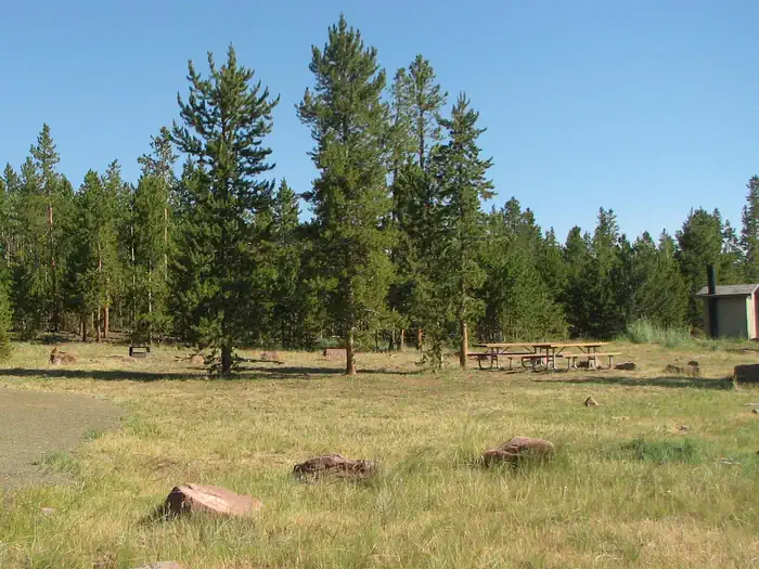
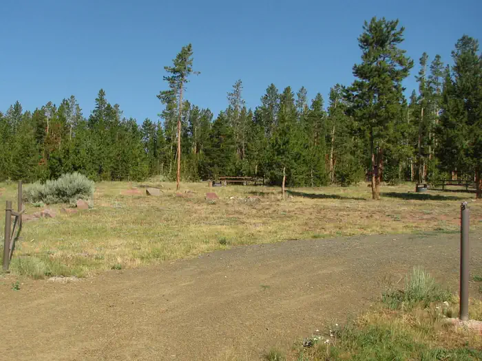
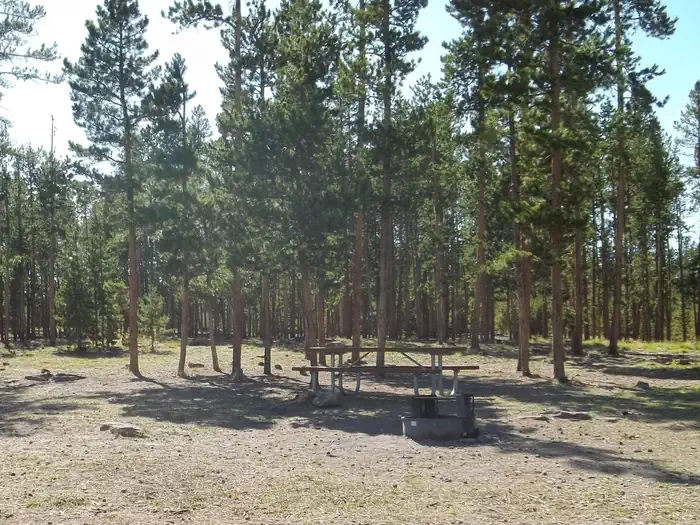
The campground consists of four reservable, accessible group sites that accommodate up to 40 people each. Sites contain picnic tables and campfire circles. Single-family sites are available only a first come, first served basis.
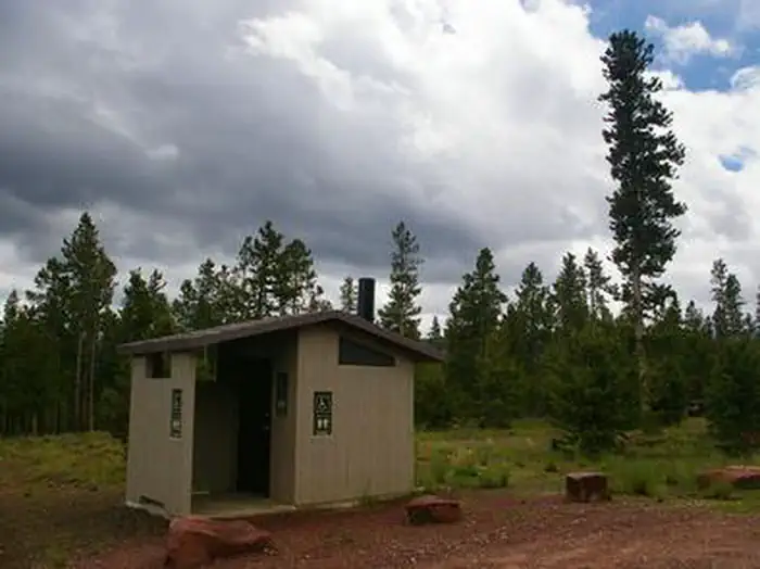
Vault toilets are provided. Roads and parking spurs are dirt. The campground is accessed via a well-maintained dirt road.
Natural Features
The campground is partially shaded by pines and aspens. Summer wildflowers dot the surrounding grassy meadows. The lake is visible from most of the sites and a short trail leads to its shore.
Nearby Attractions
Numerous scenic driving routes on maintained dirt roads crisscross the area around Browne Lake, providing miles of trails for ATVs, hikers and mountain bikers. Trails lead to reservoirs and lakes, overlooks, forests, meadows and historic sites.
Flaming Gorge National Recreation Area is known not only for its beautiful red cliffs, but also for its world-class fishing for lake, brown and rainbow trout. Boating, water skiing, jet skiing, canoeing, kayaking, swimming and scuba diving are popular activities on the reservoir.
Flaming Gorge Dam offers guided tours of the working hydroelectric plant and the dam itself; the adjacent visitor center contains area history exhibits.
The Green River below the dam provides spectacular rafting opportunities. A trip down the river offers unique geology, outlaw history and Native American rock art.
Getting there
From the Wyoming: Take Highway 43, turn right at the McKinnon Junction up through Sols Canyon. Turn left onto Sheep Creek Road; follow signs to Browne Lake. From Vernal, Utah: Take Highway 191, which turns into Highway 44. Shortly past the Dowd Mountain overlook, turn left onto the pavement on the scenic loop road. Follow that road until you reach Forest Road 096; turn left and follow the dirt road to campground. Signs for Browne Lake are posted throughout the scenic loop.
View on Recreation.gov ↗ Get directions ↗
Photo gallery

FAQ
How do I get a reservation at Browne Lake Group Sites?
Online reservations for this facility, where offered, are made through Recreation.gov. Pick a site on the map to see its calendar, or set a free Campsite Sniper alert. You complete the reservation yourself on Recreation.gov.
Does Campsite Sniper book this campground for me?
No. Campsite Sniper sends alerts and direct Recreation.gov links. It never books, pays for, holds, hoards, or resells reservations.
How current is this availability data?
Campsite Sniper does not currently hold availability data for Browne Lake Group Sites, so there is nothing to date here. That is a gap in coverage — it does not mean the facility is full or closed. Check Recreation.gov for current dates.
Stop refreshing. Let the app watch it.
Lakefront, hookups, your RV length, weekends only - set it as picky as you want.
We run paced availability checks for Browne Lake Group Sites. One watch covers every matching site.
When a match opens, you get a push with a Recreation.gov link so you can review and book it yourself.