Openings · last 7 days
0
Pick a site on the map to see its site map.
The site details and map below come from the public Recreation.gov record and are accurate. For current dates and to book, go to Recreation.gov.
Only 2 openings in the last 90 days: not enough recent activity for a reliable pattern. A free Campsite Sniper alert watches around the clock instead, and pings you the moment one opens.
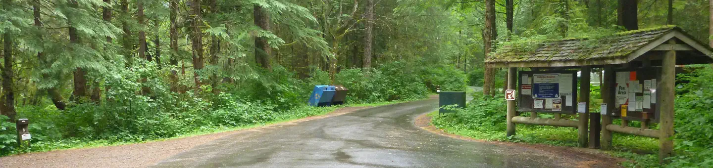
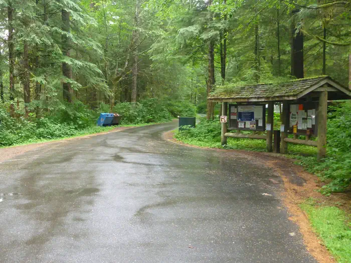
Last Chance Campground is located in the Ward Lake Recreation Area, 9 miles north of downtown Ketchikan and about 4 miles north of the State ferry terminal. This campground straddles Last Chance Creek and lies next to Ward Creek with easy access to fishing, hiking and wildlife viewing.
Hiking is a popular option, as the Ward Lake Recreation Area boasts seven trails. The Ward Lake Nature Trail meanders 1.3 miles around the lake. A large day-use complex with picnic sites and shelters is also available. Freshwater fishing, wildlife viewing and scenery are favorite draws at Ward Lake.
Last Chance Campground is designated to be fully accessible. Each campsite contains a picnic table, a campfire ring with grill and a gravel parking spur. Two hand pumps for drinking water and three vault toilets are provided. Firewood may be provided but is not guaranteed. Firewood and other assistance may be obtained from the campground host located 2 miles away at Signal Creek Campground.
Last Chance is surrounded by an old-growth temperate rainforest comprised primarily of western hemlock and Sitka spruce. Last Chance Creek flows through the campground, and Ward Creek runs alongside.
At nearly 17 million acres, the Tongass National Forest covers most of Southeast Alaska and is the largest forest in the national forest system. The Tongass surrounds the Inside Passage, the network of waterways that buffers the jagged Alaskan Coast and a cluster of coastline islands.
The Tongass offers visitors a chance to view wildlife, including eagles, bears and spawning salmon. Expansive vistas, including fjords, glaciers and mountain peaks abound.
From the Alaska State Ferry Terminal, take Tongass Highway north 4.8 miles. At milepost 7, turn right on Revilla Road and drive for 3 miles. The campground is on the right.
View on Recreation.gov ↗ Get directions ↗


Online reservations for this facility, where offered, are made through Recreation.gov. Campsite Sniper has also detected 2 site openings here in the last 90 days, so further dates may appear. Pick a site on the map to see its calendar, or set a free Campsite Sniper alert. You complete the reservation yourself on Recreation.gov.
No. Campsite Sniper sends alerts and direct Recreation.gov links. It never books, pays for, holds, hoards, or resells reservations.
Campsite Sniper does not currently hold availability data for Last Chance Campground, so there is nothing to date here. That is a gap in coverage — it does not mean the facility is full or closed. Check Recreation.gov for current dates.
Campsite Sniper detected 2 site-date openings here over the last 90 days, none in the last 7. A free alert watches around the clock and pings you the moment one appears.
6 of the 18 sites that support RV analysis have a recorded maximum of 35 ft or more; the longest recorded is 45 ft.
Lakefront, hookups, your RV length, weekends only - set it as picky as you want.
We run paced availability checks for Last Chance Campground. One watch covers every matching site.
When a match opens, you get a push with a Recreation.gov link so you can review and book it yourself.