Openings · last 7 days
0
Pick a site on the map to see its site map.
The site details and map below come from the public Recreation.gov record and are accurate. For current dates and to book, go to Recreation.gov.
88 openings were recorded here in the last 90 days, but none in the last 30 — the pattern below would describe the past, not this season, so we do not chart it. A free Campsite Sniper alert watches around the clock instead, and pings you the moment one opens.
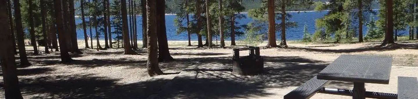
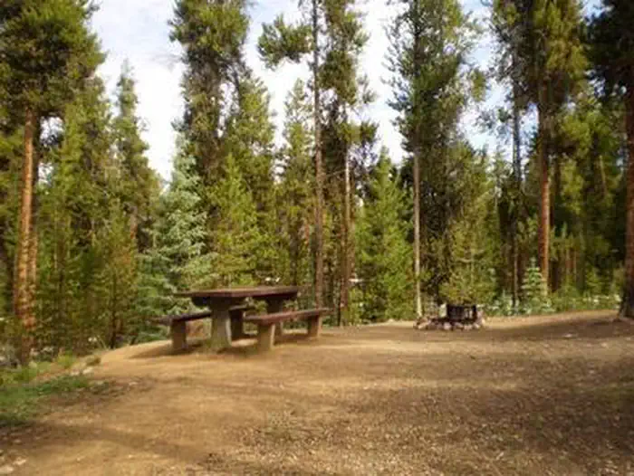
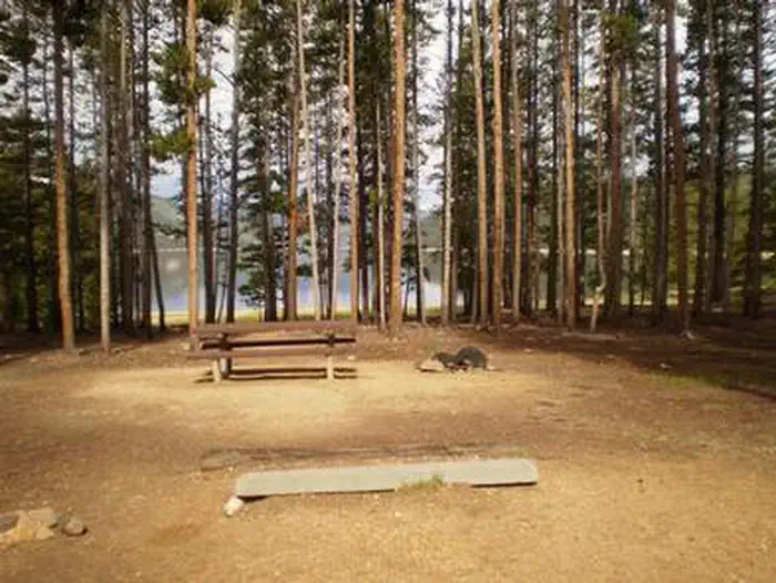
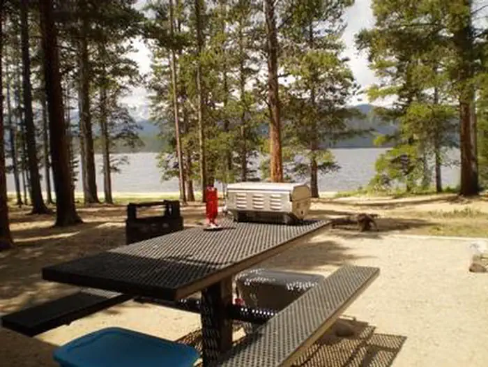
Baby Doe Campground is situated on the eastern shore of Turquoise Lake in the shade of a lodgepole pine and subalpine fir forest. This family-friendly campground is a popular summer destination for boating, hiking and fishing.
The campground was named for Elizabeth McCourt, whose nickname was Baby Doe. She made a name for herself in the Colorado mining community in the 19th century when she took on the rugged work of a miner.
The 1.2-mile Turquoise Lake Nature Trail meanders along the shoreline is a gentle loop trail through the forest and down to the shoreline of Turquoise Lake. This trail connects to the 6.4-mile Turquoise Lake Trail that parallels the shoreline from Sugar Loaf Dam to May Queen Campground. Trail guides are available at the trailhead located about a mile south, at the entrance to Molly Brown Campground.
On the lake, boating, sailing, canoeing and fishing are favorite activities. Anglers fish for stocked cutthroat, rainbow, brown and lake trout. A boat ramp is located about a mile south of the campground.
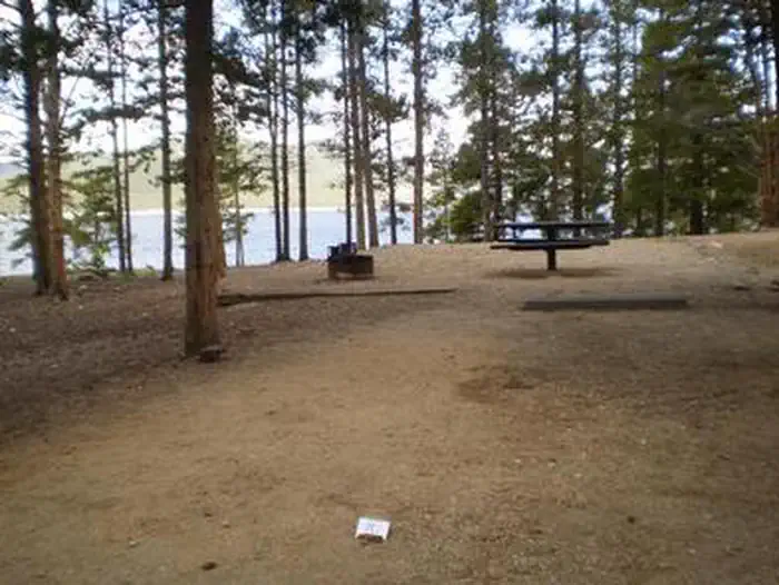
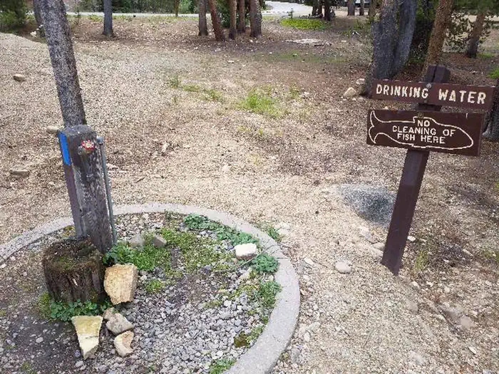
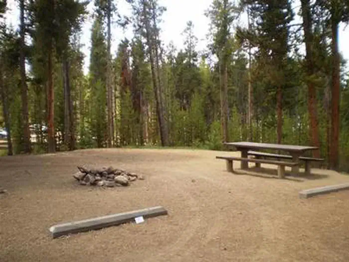
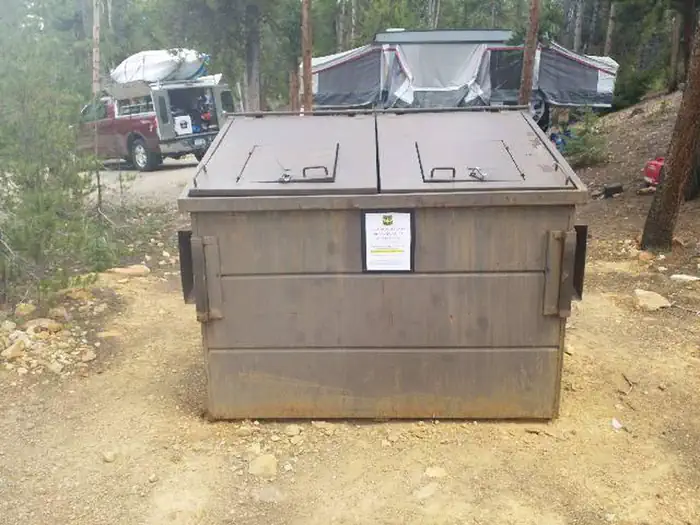
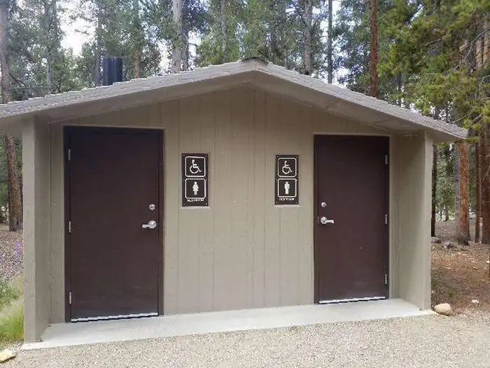
The campground offers single-family sites, some of which are accessible. Each site is equipped with a picnic table and campfire ring. Vault toilets and trash collection are provided. Firewood is available for purchase from the Host. Parking spurs are gravel or dirt.
Campsites are perched along the scenic lakeshore. The Mount Massive Wilderness Area, a 30,540 acre stretch of primitive land boasting Colorado's second highest peak at 14,421 feet, is nearby. Much of the wilderness is above timberline with many alpine plant communities and permanent snowfields.
Venture to Independence Pass for a scenic drive with breathtaking views of the Rockies and surrounding alpine tundra habitat. At 12,095 feet, it is one of the highest paved mountain passes in the country and marks where the Top of the Rockies National Scenic and Historic Byway crosses the Continental Divide.
From Leadville, Colorado, drive west on County Road 4 about 3.5 miles, turn right on County Road 9C and follow signs to Baby Doe Campground.
View on Recreation.gov ↗ Get directions ↗



Online reservations for this facility, where offered, are made through Recreation.gov. Campsite Sniper has also detected 88 site openings here in the last 90 days, so further dates may appear. Pick a site on the map to see its calendar, or set a free Campsite Sniper alert. You complete the reservation yourself on Recreation.gov.
No. Campsite Sniper sends alerts and direct Recreation.gov links. It never books, pays for, holds, hoards, or resells reservations.
Campsite Sniper does not currently hold availability data for Baby Doe, so there is nothing to date here. That is a gap in coverage — it does not mean the facility is full or closed. Check Recreation.gov for current dates.
Campsite Sniper detected 88 site-date openings here over the last 90 days, none in the last 7. A free alert watches around the clock and pings you the moment one appears.
34 of the 48 sites that support RV analysis have a recorded maximum of 35 ft or more; the longest recorded is 45 ft.
Lakefront, hookups, your RV length, weekends only - set it as picky as you want.
We run paced availability checks for Baby Doe. One watch covers every matching site.
When a match opens, you get a push with a Recreation.gov link so you can review and book it yourself.