Availability is not tracked here yet
The site details and map below come from the public Recreation.gov record and are accurate. For current dates and to book, go to Recreation.gov.
About Coal Mine
Overview
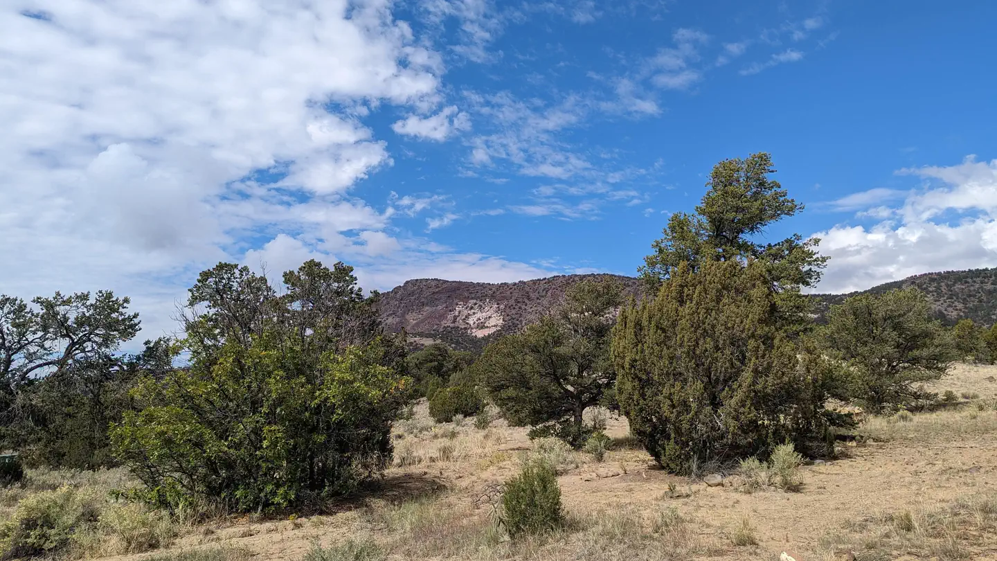
Coal Mine Campground is situated in the upper portion of the Cibola National Forest in west-central New Mexico. Visitors can enjoy hiking the Lobo Canyon Trail, as well as picnicking and scenic driving. This campground is located near the Continental Divide Trail as well as Mt. Taylor.
Recreation
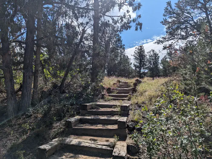
The Lobo Canyon Trail begins in the campground and leads hikers access a network of trails in the area. Some trails are still under constuction.
Visitors also enjoy picnicking in the surrounding area.
Facilities
The campground offers more than a dozen sites for tent or RV camping. Each site can accommodate up to 10 people. Utility hookups are not available. Parking spurs are paved.
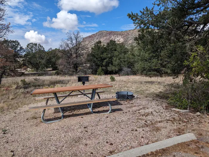
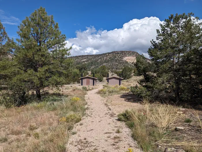
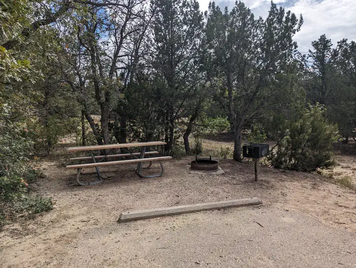
Each site is equipped with a table and campfire ring with grill. Accessible vault toilets are provided. Drinking water is not available in the campground; visitors must bring their own supply.
Natural Features
The campground is located northeast of the town of Grants at an elevation of 7,400 feet. It lies on the top of a hill, with campsites situated on gently sloping ground. A forest of mature pine, juniper and oak trees surrounds the campground.
Nearby Attractions
The El Malpais National Monument and Conservation Area can be accessed from various points within a short drive of the campground. Its extensive, ancient lava flow landscape and other scenic features draw tourists year-round.
Points of interest within the monument and conservation area include the Northwest New Mexico Visitor Center, Sandstone Bluffs Overlook and La Ventana Natural Arch. A portion of the Continental Divide National Scenic Trail parallels the Zuni-Acoma Trail as it passes through the monument.
The city of Grants is about 12 miles from the campground, offering dining and lodging options. The city also boasts a mining museum with gem and mineral displays and a self-guided tour into an underground world.
Getting there
From Grants, take New Mexico State Highway 547 for 10 miles to the campground.
View on Recreation.gov ↗ Get directions ↗
Photo gallery


FAQ
How do I get a reservation at Coal Mine?
Online reservations for this facility, where offered, are made through Recreation.gov. Pick a site on the map to see its calendar, or set a free Campsite Sniper alert. You complete the reservation yourself on Recreation.gov.
Does Campsite Sniper book this campground for me?
No. Campsite Sniper sends alerts and direct Recreation.gov links. It never books, pays for, holds, hoards, or resells reservations.
How current is this availability data?
Campsite Sniper does not currently hold availability data for Coal Mine, so there is nothing to date here. That is a gap in coverage — it does not mean the facility is full or closed. Check Recreation.gov for current dates.
Which sites at Coal Mine fit a 35-foot RV?
6 of the 15 sites that support RV analysis have a recorded maximum of 35 ft or more; the longest recorded is 45 ft.
Stop refreshing. Let the app watch it.
Lakefront, hookups, your RV length, weekends only - set it as picky as you want.
We run paced availability checks for Coal Mine. One watch covers every matching site.
When a match opens, you get a push with a Recreation.gov link so you can review and book it yourself.