Availability is not tracked here yet
The site details and map below come from the public Recreation.gov record and are accurate. For current dates and to book, go to Recreation.gov.
About Thunder Ridge
Overview
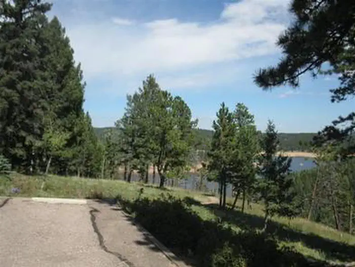
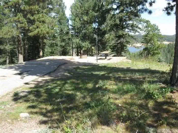
Thunder Ridge Campground, located above the Rampart Reservoir, is one of two campgrounds within the Rampart Reservoir Recreation Area. The campground overlooks the reservoir, which is popular for fishing. Boating and hiking are also common activities for campers here.
The campground is located on the Front Range of the Rocky Mountains, due north of the popular Pikes Peak. The peak has an altitude of 14,110 feet and is America's easternmost peak reaching over 14,000 feet.
Recreation
Rainbow and mackinaw trout are plentiful in the reservoir and hikers can enjoy the trails in the area. Rampart Reservoir Trail is nearby. Rampart Reservoir Trail extends for 14 miles and is open to hiking and mountain biking.
Facilities
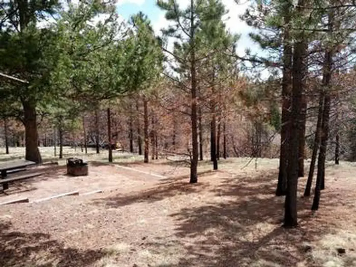
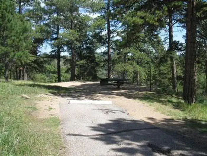
Three campsites and two of the vault toilets meet current accessibility standards. Most remaining sites have steps that lead below the road level to the site picnic table and campfire ring. Drinking water is provided and each site comes with a picnic table and campfire ring. Firewood can be purchased on-site.
Natural Features
The campground overlooks the Rampart Reservoir in a ponderosa pine forest at an altitude of 9,200 feet. The surrounding terrain includes a mix of grass meadows, spruce, Douglas fir and aspen.
Nearby Attractions
The U.S. Air Force Academy in Colorado Springs offers tours, and a visit to the quaint town of Green Mountain Falls makes a great day trip.
Getting there
From the I-25 and Hwy 24 intersection in Colorado Springs, Colorado, travel west on Highway 24 for 17.4 miles to Baldwin St. in Woodland Park. Turn right (north) on Baldwin (which turns into Rampart Range Road). Travel approximately 3 miles to Loy Creek Road, turn right at the Y, and travel 1.5 miles to Rampart Range Road (Forest Road 300). Turn right (south) on Rampart Range Road. The Rampart Reservoir Recreation Area entrance is approximately 4 miles up the road on the left. Thunder Ridge Campground is approximately 0.7 miles on the left.
View on Recreation.gov ↗ Get directions ↗
Photo gallery


FAQ
How do I get a reservation at Thunder Ridge?
Online reservations for this facility, where offered, are made through Recreation.gov. Pick a site on the map to see its calendar, or set a free Campsite Sniper alert. You complete the reservation yourself on Recreation.gov.
Does Campsite Sniper book this campground for me?
No. Campsite Sniper sends alerts and direct Recreation.gov links. It never books, pays for, holds, hoards, or resells reservations.
How current is this availability data?
Campsite Sniper does not currently hold availability data for Thunder Ridge, so there is nothing to date here. That is a gap in coverage — it does not mean the facility is full or closed. Check Recreation.gov for current dates.
Which sites at Thunder Ridge fit a 35-foot RV?
8 of the 20 sites that support RV analysis have a recorded maximum of 35 ft or more; the longest recorded is 60 ft.
Stop refreshing. Let the app watch it.
Lakefront, hookups, your RV length, weekends only - set it as picky as you want.
We run paced availability checks for Thunder Ridge. One watch covers every matching site.
When a match opens, you get a push with a Recreation.gov link so you can review and book it yourself.