Availability is not tracked here yet
The site details and map below come from the public Recreation.gov record and are accurate. For current dates and to book, go to Recreation.gov.
About Souse Gulch
Overview
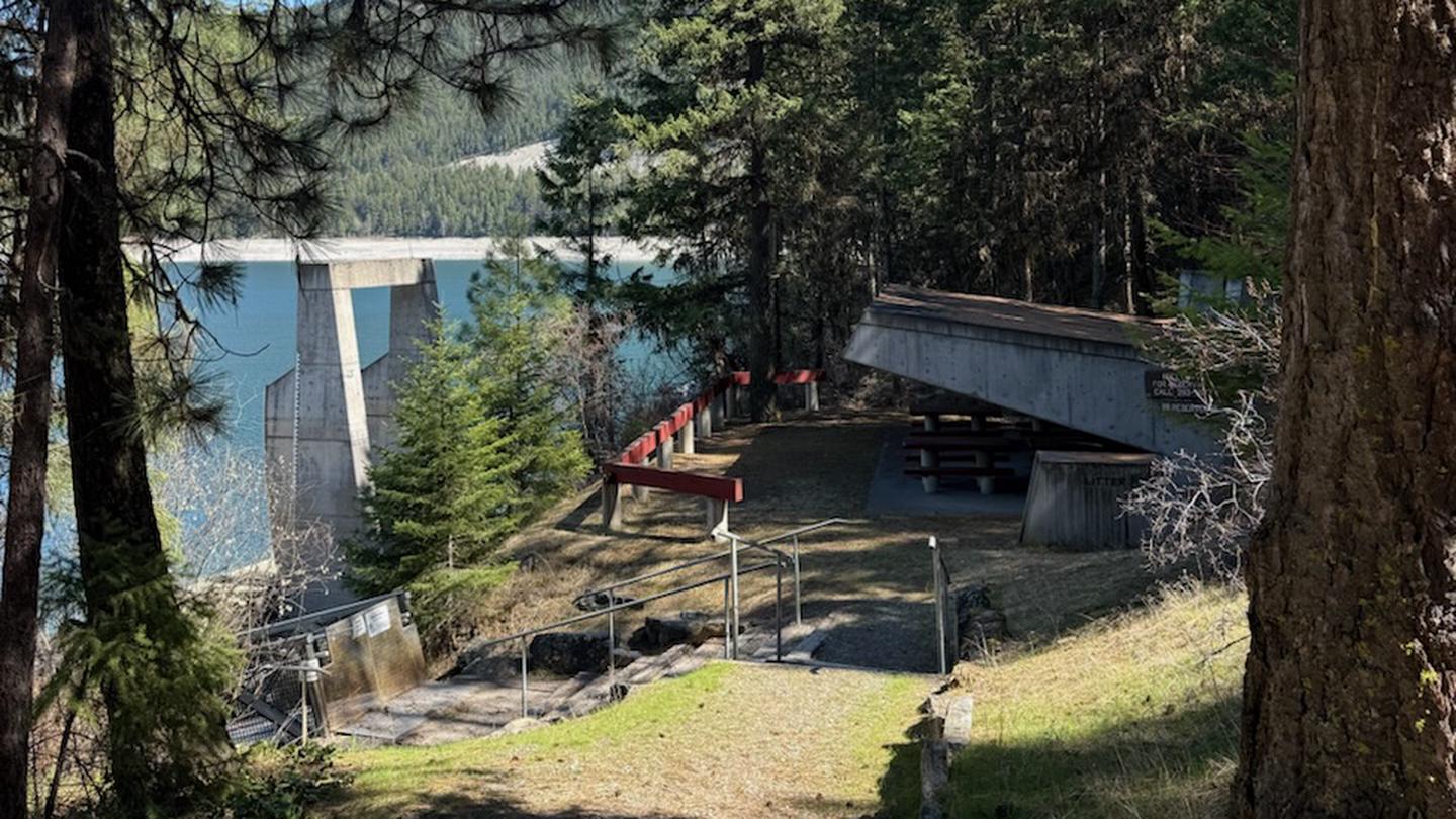
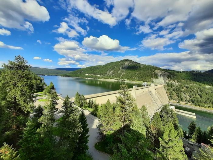
Souse Gulch Recreation Area, situated on Lake Koocanusa, is the largest recreation area for the Libby Dam Project, but still offers visitors peace and quiet and plenty of space to enjoy the scenic surroundings.
Recreation
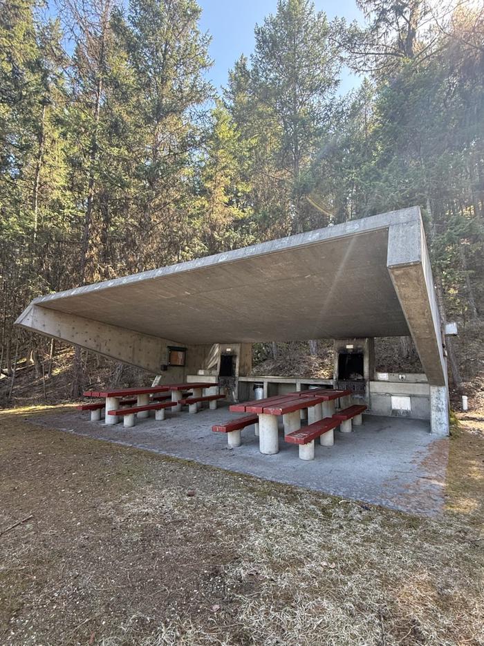
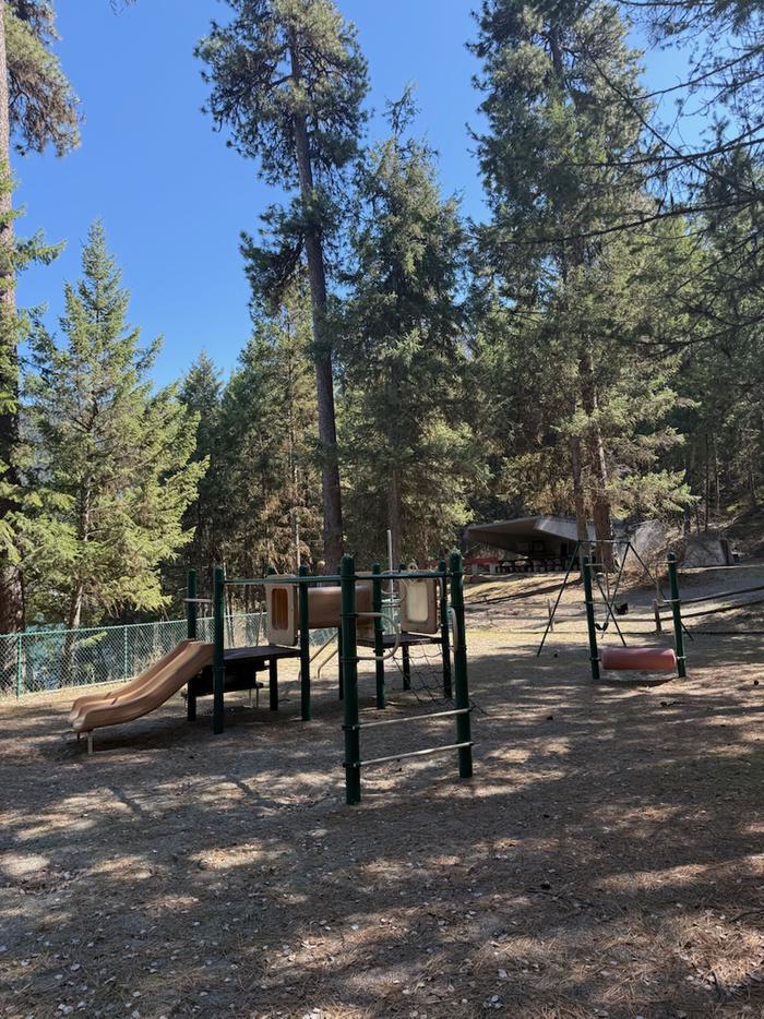
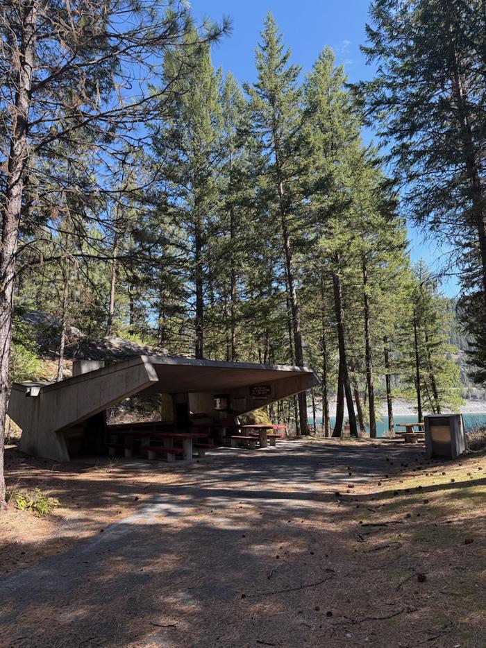
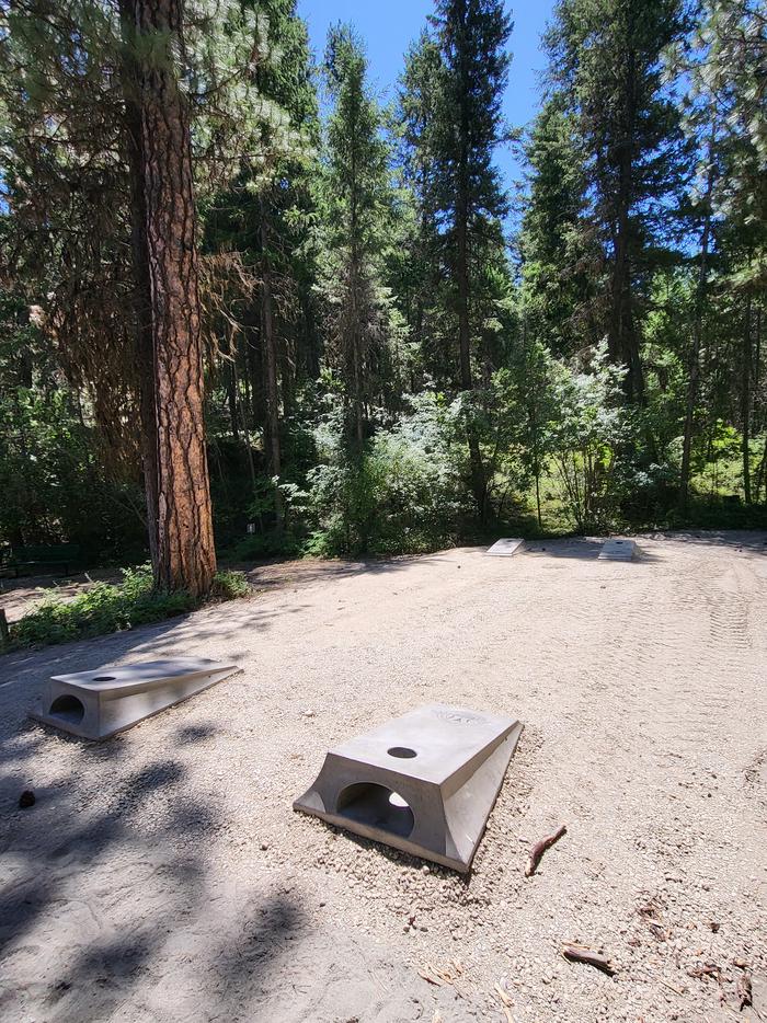
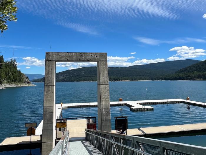
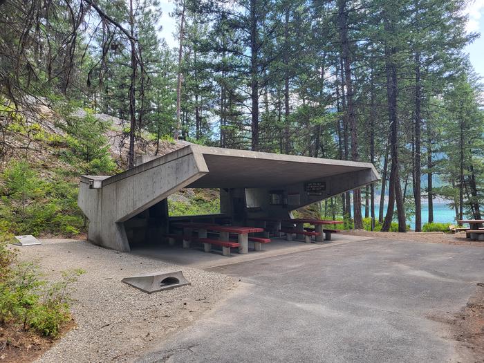
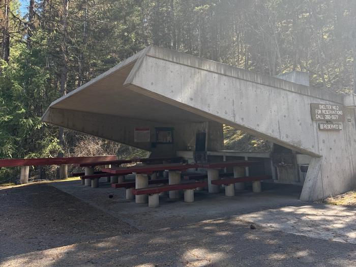
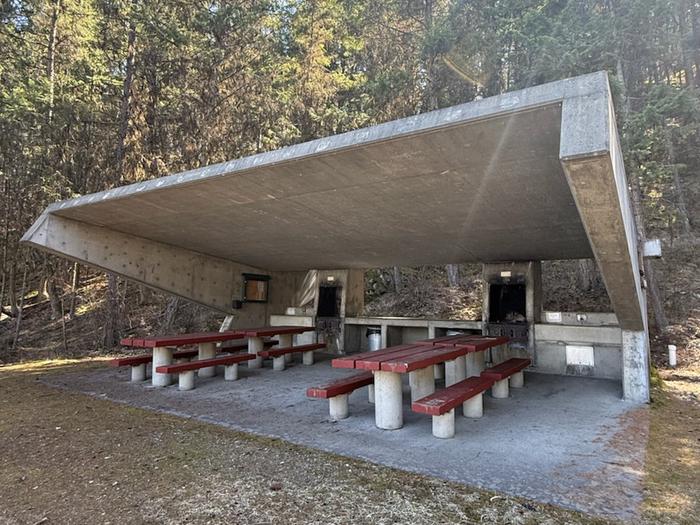
Water sports are the most common activity at the lake, and a boat ramp is open year-round in Souse Gulch. Recreations can also access downstream of the dam at 4 river launches. The nearby Visitor Center offers short films, informational guides, interpretive materials, and a gift shop. Visitors can enjoy kayaking, paddle boarding, swimming, fishing, water skiing and jet skiing. Day users are likely to spot wildlife in the area with bald eagles, osprey, and most commonly, deer. A frisbee golf course is available in Souse Gulch and a second course is located downstream of the dam. A hiking and biking trail downstream of the dam will take visitors along the Kootenai River. Basketball hoops, playgrounds, corn hole boards, picnic tables and more offer plenty of space and recreation opportunities for families, groups of friends or solo visitors looking to get outside.
Natural Features
Libby Dam was built is 1975 for flood control and power production on the Kootenai River. Behind the dam, Lake Koocanusa stretches 90 miles, 48 miles in the USA and 42 miles in Canda. Today, the popular lake has the added benefit of providing visitors with countless year-round recreation activities.
Nearby Attractions
The Libby Dam Visitor Center features exhibits on the history of the dam and the natural features of the area, with tours of the dam given daily during the summer.
Distance from Libby Dam to closest towns:
o Libby 20 miles
o Eureka 60 miles
o Bonners Ferry 70 miles
o Kalispell 110 miles
Getting there
From Montana Highway 47 turn on Forest Service Road 228, then continue approximately 3 miles to the Visitors Center and continue past the boat ramp into the Souse Gulch day use area. From Montana Highway 47 turn onto Jennings Hiline Dr, then continue over the David Thomson bridge at the base of the dam. Once you meet up with Forest Service Road 228 turn right to go up the hill to the Visitors Center and continue pas the boat ramp into the Souse Gulch day use area. Note: Google maps often suggest the shortest route is taking the Fisher River Cut off road between highway 37 and highway 2. This road is NOT maintained year-round and is an active logging road in a remote area.
View on Recreation.gov ↗ Get directions ↗
Photo gallery
FAQ
How do I get a reservation at Souse Gulch?
Online reservations for this facility, where offered, are made through Recreation.gov. Pick the shelter on the map to see its reservation calendar, or set a free Campsite Sniper alert. You complete the reservation yourself on Recreation.gov.
Does Campsite Sniper book this facility for me?
No. Campsite Sniper sends alerts and direct Recreation.gov links. It never books, pays for, holds, hoards, or resells reservations.
How current is this availability data?
Campsite Sniper does not currently hold availability data for Souse Gulch, so there is nothing to date here. That is a gap in coverage — it does not mean the facility is full or closed. Check Recreation.gov for current dates.
Let the app watch this shelter
Choose the reservation dates you want at Souse Gulch.
Campsite Sniper can monitor this facility and notify you if a selected date becomes available.
When a selected date becomes available, you get a push with a Recreation.gov link so you can review and book it yourself.