This facility does not offer advance online reservation inventory for Campsite Sniper to monitor, and Campsite Sniper cannot determine real-time physical vacancy. Sites are claimed in person on arrival.
8 monitored sites: 8 first-come, first-served.
First-come, first-served — no advance reservations
About Umatilla Forks Campground
Overview
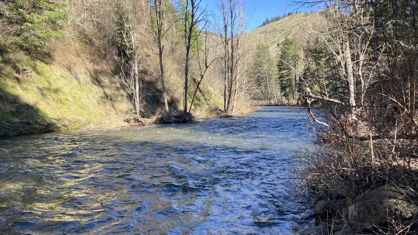
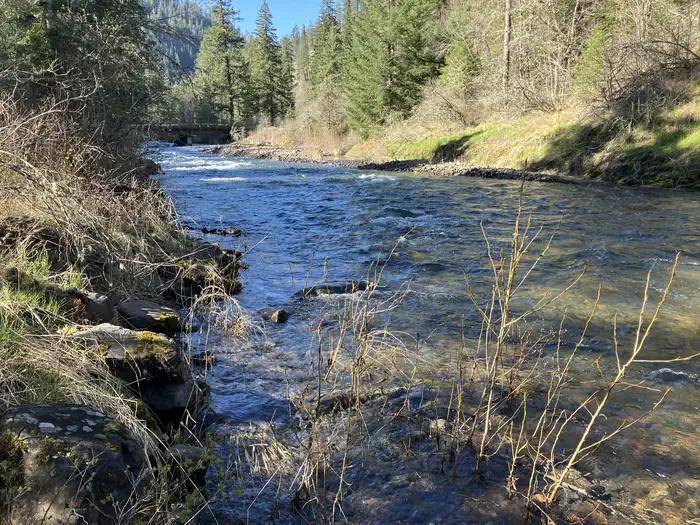
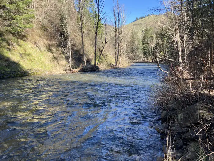
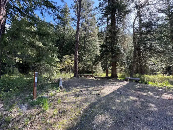
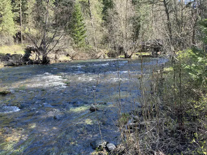
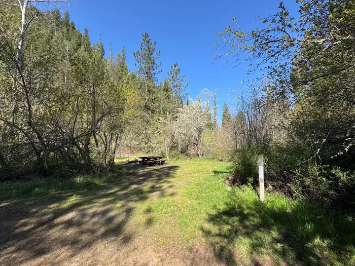
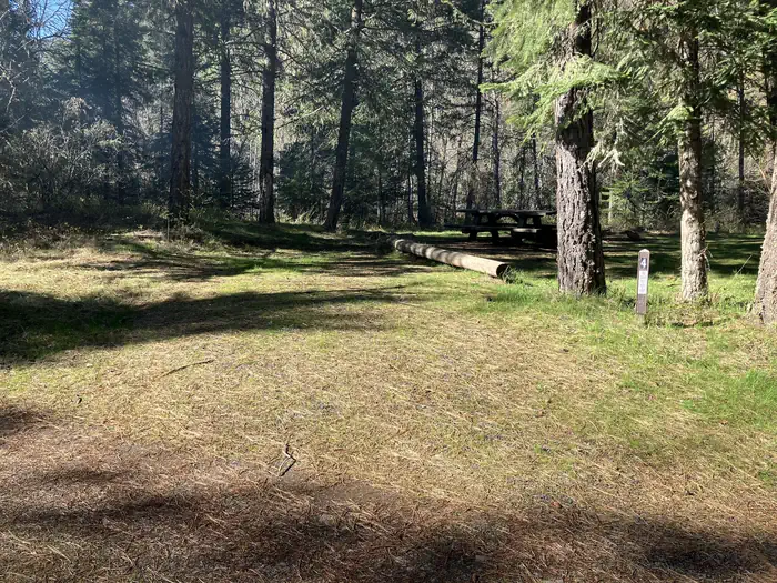
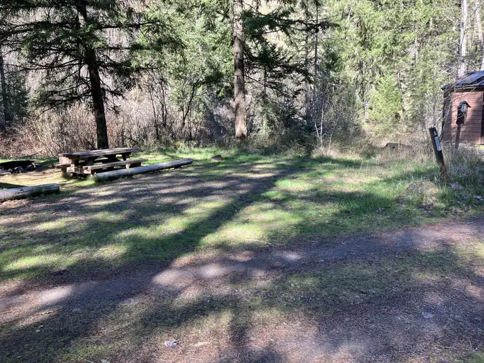
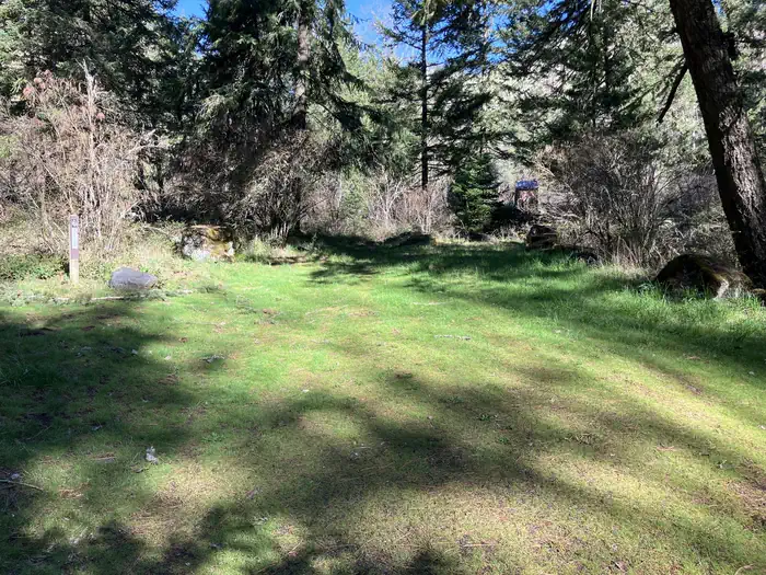
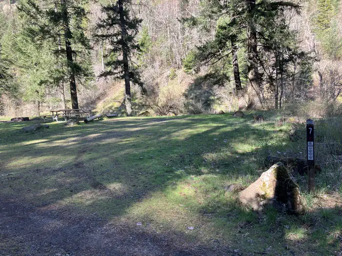
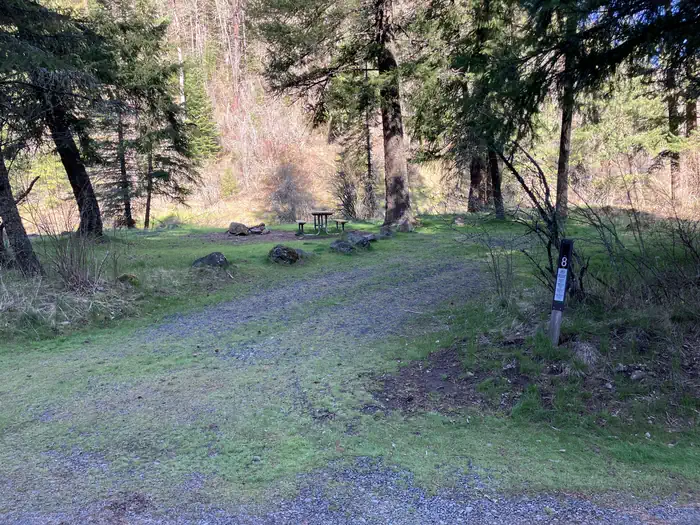
Situated between the South Fork and the North Fork of the Umatilla River, this campground offers many more activities than just camping. Fishing (catch and release) and hiking in the North Fork Umatilla Wilderness are popular from early spring to late fall. With campsites nestled within a riparian area among an ample mix of conifers and deciduous trees and heavy vegetation that provides great privacy, you will think you are camping in the wilderness itself!
This location is available on a first-come, first-served basis only. Visitors are required to physically arrive at the campground to purchase and claim a site. Once on-site, you may be able to pay for your campsite(s) by scanning a QR code using the Recreation.gov mobile app, and the Scan and Pay feature.
If this option is available, you will need to first download the free Recreation.gov mobile app https://www.recreation.gov/mobile-app prior to your arrival as some remote areas have limited or no cellular service.
Recreation
South Fork and the North Fork of the Umatilla River for fishing and hiking in the North Fork Umatilla Wilderness.
Natural Features
Situated between the South Fork and the North Fork of the Umatilla River with a fantastic view the lower North Fork Umatilla Wilderness and Graves Butte.
Getting there
From Pendleton, Oregon: Drive east for 7 miles on Interstate 84 and take Exit 216. Go left (north) for 2 miles to the blinking 4-way stoplight. Take a right onto Mission Road and continue onto Cayuse Road/County Road 931/Emigrant Road. After 1.7 miles turn left onto Cayuse Road (follow Bar M Ranch signs). Travel about 16 miles to where it meets Bingham Road. Turn right onto Bingham Road/County Road 900, cross the railroad tracks, and follow Bingham Road/County Road 900 (NOTE: this road becomes Forest Service Road 32 at the forest boundary) for approximately 14 miles to the campground entrance on your right. From Walla Walla, Washington: Take Highway 11 to Adams, Oregon and turn left at McGregor on Mann Road. Travel 5 miles and turn left onto Cayuse Road. Travel Cayuse Road for 1.25 miles and turn left onto Bingham Road/County Road 900, cross the railroad tracks, and follow Bingham Road/County Road 900 (NOTE: this road becomes Forest Service Road 32 at the forest boundary) for approximately 9.5 miles to the campground entrance on your right.
View on Recreation.gov ↗ Get directions ↗
Photo gallery

FAQ
How do I get a reservation at Umatilla Forks Campground?
Umatilla Forks Campground operates on a first-come, first-served basis and cannot be reserved in advance. Campsite Sniper does not have real-time on-site vacancy information for this facility; visitors claim sites in person on arrival.
Does Campsite Sniper book this campground for me?
No. Campsite Sniper sends alerts and direct Recreation.gov links. It never books, pays for, holds, hoards, or resells reservations.
How current is this availability data?
Campsite Sniper re-checks public Recreation.gov availability for this facility every hour and republishes whenever anything changes. This facility's data last changed at Sep 18, 2026 14:17 UTC; an older timestamp means nothing has changed since that time, not that checking stopped. Always confirm final availability on Recreation.gov when you book.
First-come, first-served
This facility does not offer advance online reservation inventory for Campsite Sniper to monitor, and Campsite Sniper cannot determine real-time physical vacancy. Sites are claimed in person on arrival. For arrival rules, season dates and current conditions, check the facility's page on Recreation.gov.
Get Campsite Sniper for online-reservable campgrounds - free on iOS & Android