This facility does not offer advance online reservation inventory for Campsite Sniper to monitor, and Campsite Sniper cannot determine real-time physical vacancy. Sites are claimed in person on arrival.
32 monitored sites: 32 first-come, first-served.
First-come, first-served — no advance reservations
About Buckhorn Draw
Overview
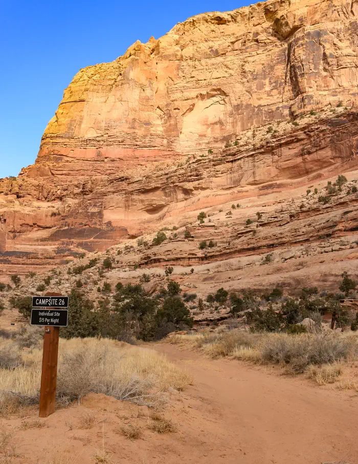
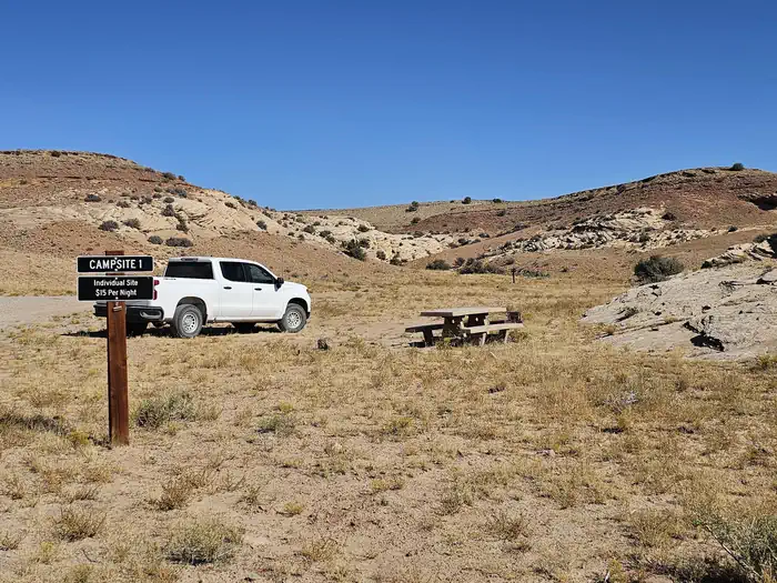
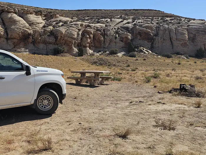
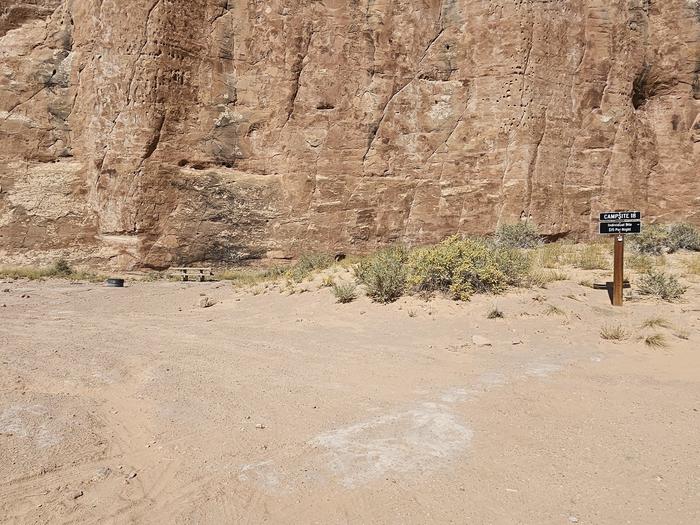
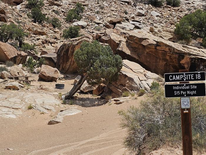
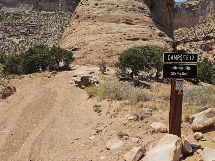
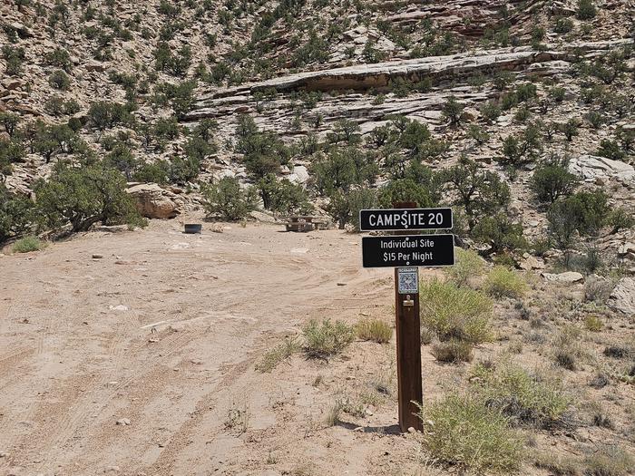
Buckhorn Draw has multiple vault toilets and information stations along the main road. Individual campsites have picnic tables and fires rings.
Recreation
Buckhorn Draw Road is the main artery for the northern half of the San Rafael Swell Recreation Area. There are thousands of miles of roads and off-highway vehicle trails; from Buckhorn Draw visitors can readily access Cane Wash Road, which leads to some of the Swell's most technical OHV trails, as well as dispersed camping along Mexican Mountain Road. Much of the area outside of the draw is designated wilderness. Motorized vehicles, bicycles, and power tools are prohibited in these areas.
Hiking : Calf Canyon and Furniture Draw are popular day hikes from Buckhorn Draw. Those seeking longer, challenging backcountry adventures will find opportunities for backpacking, with trailheads located at the Johansen Corral (west from Swinging Bridge along the San Rafael River) and at the east end of Mexican Mountain Road.
Off-roading : Non-county trails are infrequently maintained. Please choose trails appropriate to your vehicle and skill level and bring an emergency kit to self-rescue.
Rock climbing : There are many climbing routes along Buckhorn Draw. Please utilize day use areas and general parking lots when climbing or observing. Do not stop or park in blind turns, and do not park in fee campsite if you are not camping there.
Facilities
Vault toilets are located at:
Campsites 1-7 Campsites 18-21 The Buckhorn Pictograph Panel (halfway between sites 23-24 and 25-27) Swinging Bridge Campground
Different sites are appropriate for different vehicles:
RVs: all group sites; 1, 3, 8-11, 14, 17, 27, 30-32 Small trailers: all of the above plus 18, 19, 22-25, 28 Sites 20-21 are down a rough, narrow road with deep sand. High clearance and AWD/4WD required.
Natural Features
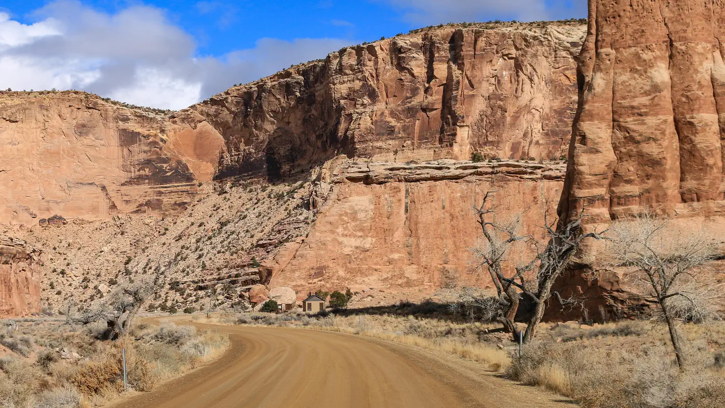
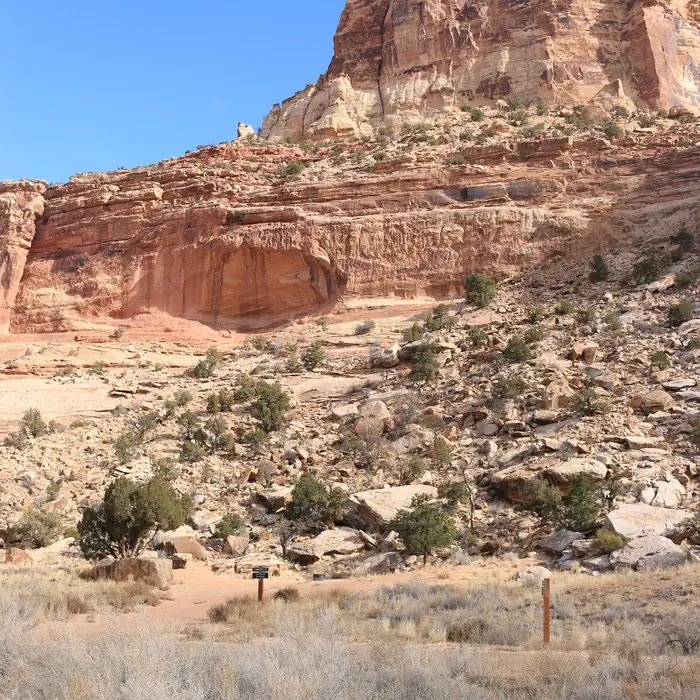
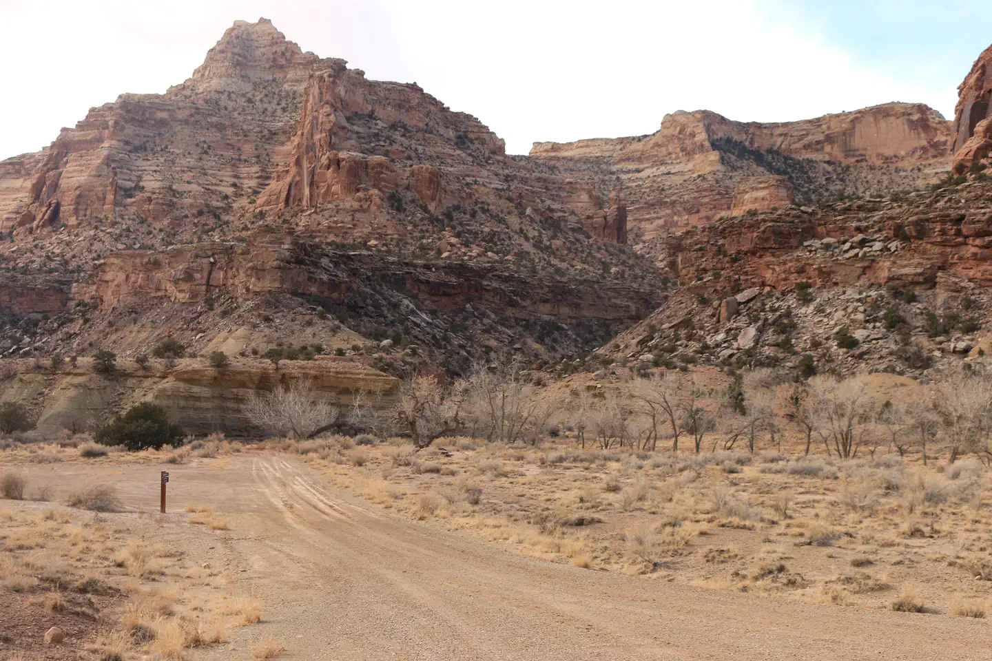
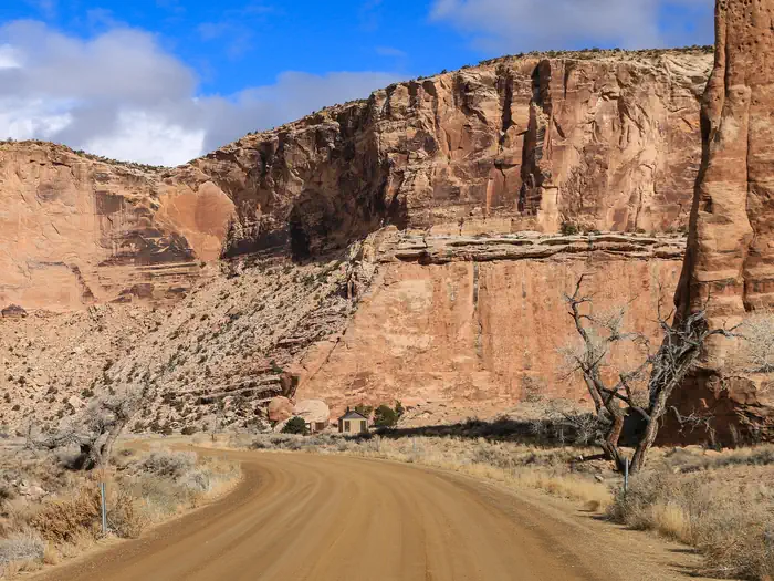
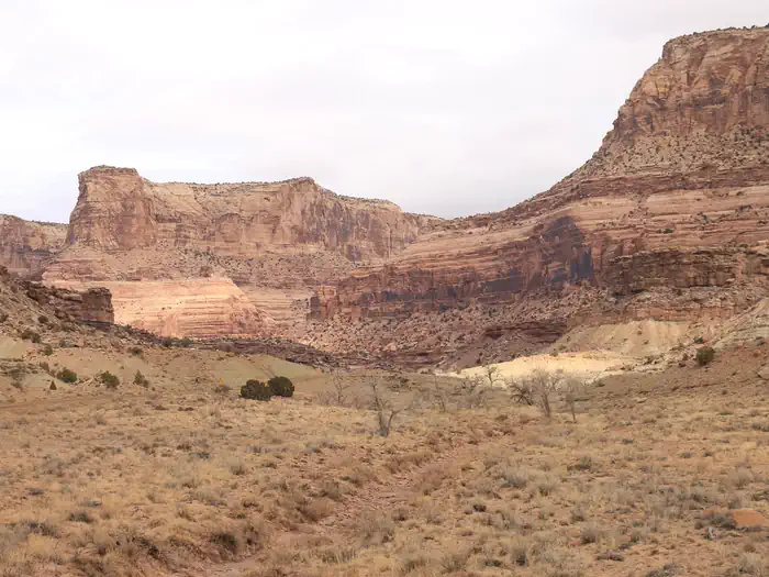
Buckhorn Draw is the San Rafael River's longest tributary canyon. Along the nine-mile drive from the top of the canyon to its confluence with the river at the Swinging Bridge, visitors will pass below towering sandstone cliffs. The canyon is mixed sagebrush and riparian, and there are many opportunities to see mule deer within the draw and bighorn sheep in the side canyons. Designated wilderness frames either side of Buckhorn Draw: Sids Mountain Wilderness to the west and Mexican Mountain Wilderness to the east. Wilderness protects outstanding habitat and ecosystems and provides many opportunities for non-motorized recreation.
Getting there
This campground is located 15 miles from the nearest paved road. County roads in the San Rafael Swell are generally well-maintained but may be impassible for two-wheel drive vehicles in wet or icy conditions. Please travel safely and responsibly. Contact the BLM for route conditions. From Huntingdon : Take Center Street east out of Huntingdon. Turn left onto Emery County Rd. 332 after approximately three miles, following signs for San Rafael Swell access. Continue straight on this road for 12 miles as it turns into gravel, traveling east and then south until it intersects with the Green River Cutoff Road (Emery Co. Rd 401) at the Buckhorn Information Center, which has multiple kiosks, vault toilets, and a large staging area. Turn left and continue straight for another 2.4 miles, and then turn right at the sign for Buckhorn Draw. The north information station at Campsite 1 is in approximately 1 mile. From Castledale : Go north out of Castle Dale on Highway 10 and turn right on the Green River Cutoff Road, about 1 mile out and signed for San Rafael Swell access. Continue straight for 13 miles to the Buckhorn Information Center and then 2.4 more miles to the signed intersection with Buckhorn Draw. From Highway 191 : Turn west onto the Green River Cutoff Road midway between mile markers 283 and 284. Stay straight for 28 miles until the signed intersection with Buckhorn Draw is reached. From I-70: From Exit 131 (signed for Temple Mountain Rd. and Sinbad Rd.), go north and follow Buckhorn Draw Road (Emery Co. Rd. 332) as it turns east and then north. You will reach the San Rafael River (Swinging Bridge Campground) in 20 miles. The south information station at Campsite 30 is reached in 1.5 miles.
View on Recreation.gov ↗ Get directions ↗
Photo gallery
FAQ
How do I get a reservation at Buckhorn Draw?
Buckhorn Draw operates on a first-come, first-served basis and cannot be reserved in advance. Campsite Sniper does not have real-time on-site vacancy information for this facility; visitors claim sites in person on arrival.
Does Campsite Sniper book this campground for me?
No. Campsite Sniper sends alerts and direct Recreation.gov links. It never books, pays for, holds, hoards, or resells reservations.
How current is this availability data?
Campsite Sniper re-checks public Recreation.gov availability for this facility every hour and republishes whenever anything changes. This facility's data last changed at Sep 18, 2026 14:17 UTC; an older timestamp means nothing has changed since that time, not that checking stopped. Always confirm final availability on Recreation.gov when you book.
First-come, first-served
This facility does not offer advance online reservation inventory for Campsite Sniper to monitor, and Campsite Sniper cannot determine real-time physical vacancy. Sites are claimed in person on arrival. For arrival rules, season dates and current conditions, check the facility's page on Recreation.gov.
Get Campsite Sniper for online-reservable campgrounds - free on iOS & Android