Openings · last 7 days
1
Pick a site on the map to see its site map.
The site details and map below come from the public Recreation.gov record and are accurate. For current dates and to book, go to Recreation.gov.
Only 2 openings in the last 90 days: not enough recent activity for a reliable pattern. A free Campsite Sniper alert watches around the clock instead, and pings you the moment one opens.
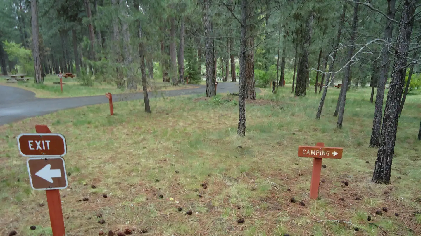
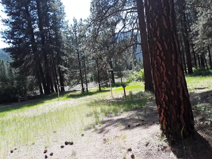
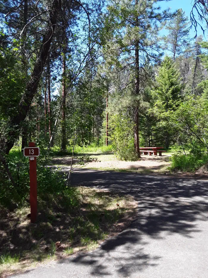
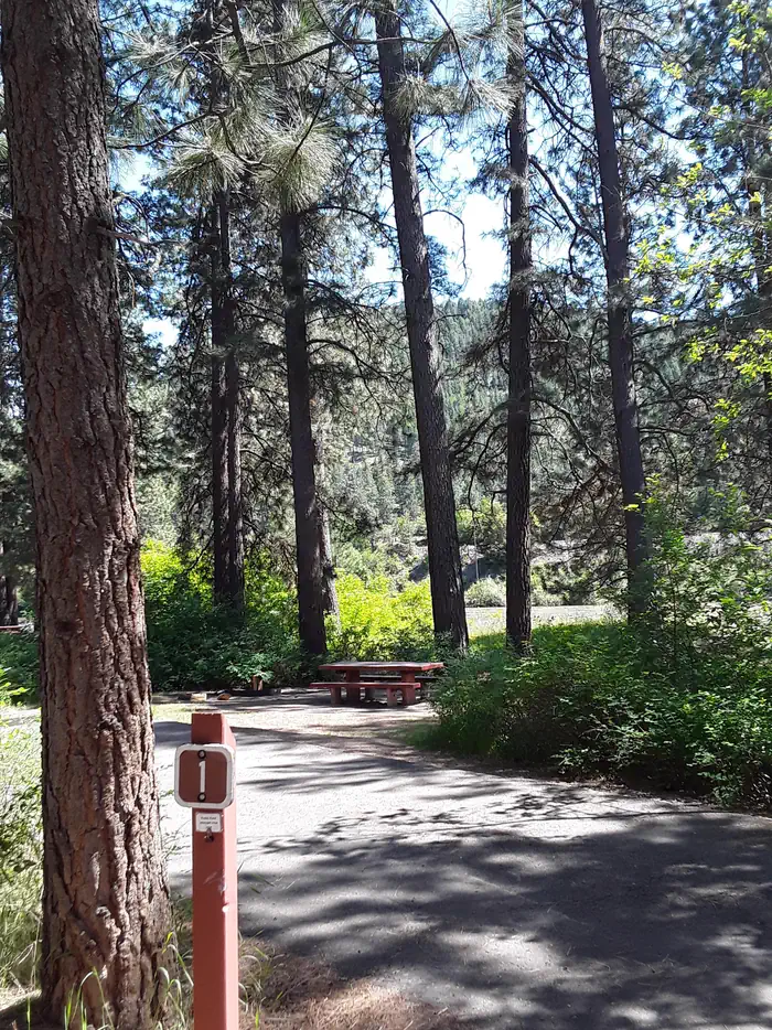
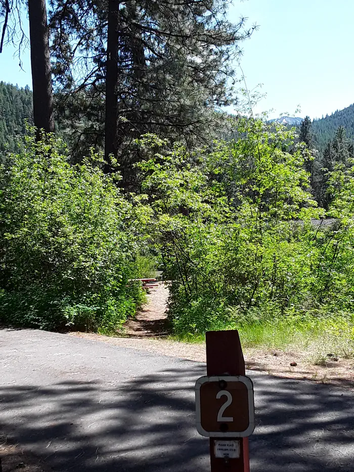
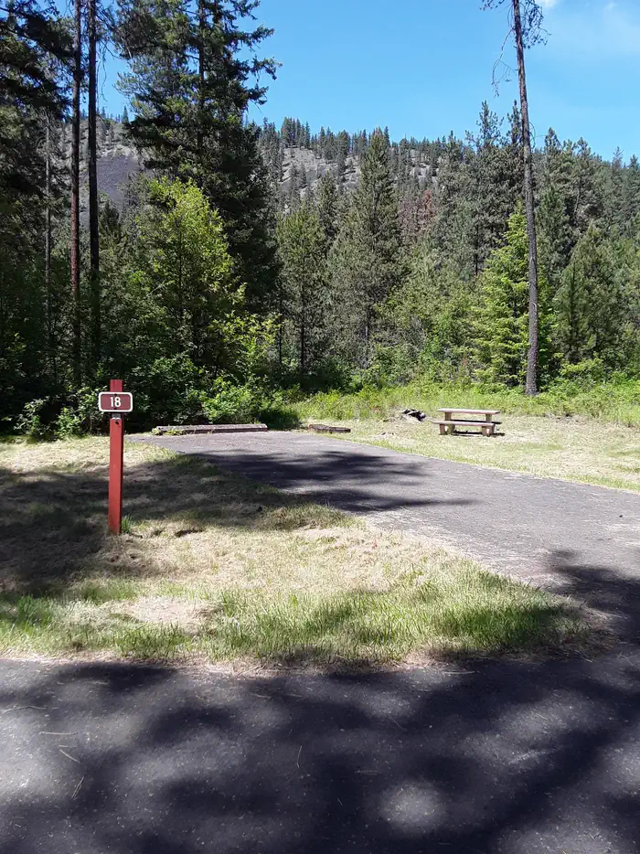
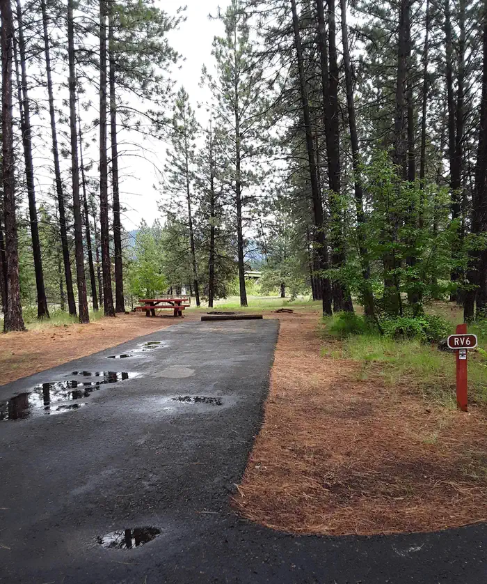
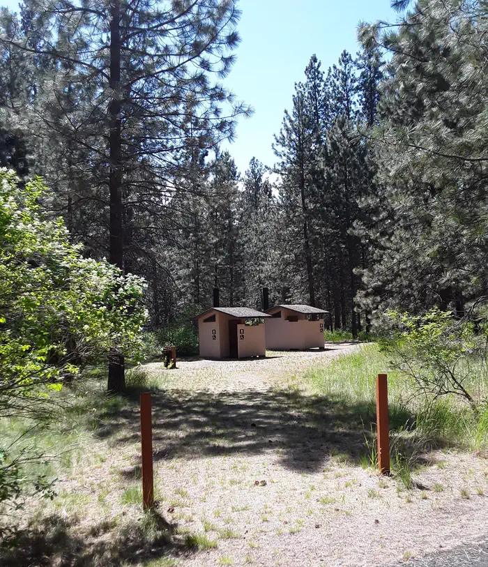
Sloway Campground is located off of Interstate 90, just 60 minutes west of Missoula, Montana and 15 minutes west of Superior, Montana. The paved campground has 27 sites total. There is water, vault toilets, trash services, picnic tables, fire rings, volleyball net, horseshoe pits, and Camp Hosts. The campground sits on the Clark Fork River in the shade of pines trees and has a primitive boat launch and an equestrian site. Be aware the campground receives a lot of noise from Interstate 90 and passing trains.
The campground is in close proximity to launch sites along the Clark Fork River, including the Alberton Gorge. The campground can accommodate small to medium groups recreating on the river or in the National Forest. The Sloway Campground is one of three full-service campgrounds located along Interstate 90 between Idaho and Missoula, Montana.
Sloway Campground is paved and has vault toilets, potable water, a Camp Host, and trash services. Each site has a parking space, picnic table, and fire ring. There are 27 sites in total with 12 pull-through sites for vehicles longer than 35 feet. Sites 1 - 10 and 21 - 25 are reservable. Sites 11- 20 and 26 & 27 are first-come, first-serve.
The campground resides in the valley bottom surrounded by pine trees and the Clark Fork River to the south. The campground is flat and easily accessible from Interstate 90.
Missoula is 60 miles to the east.
Superior is 8 miles to the east.
St. Regis is 7 miles to the west.
Route of the Hiawatha Trail is 43 miles to the west.
Lookout Ski Area / Idaho is 48 miles to the west.
Alberton Gorge is 21 miles to the east.
From I-90 take Exit 43 at Dry Creek. At the end of exit ramp, turn right and go 0.3 miles across the Clark Fork River to the stop sign. Turn left and go 3.2 miles to campground located on the left. Or take Exit 37 at Sloway. At the end of the exit ramp, turn right and travel 2.8 miles east. The campground is on the right.
View on Recreation.gov ↗ Get directions ↗
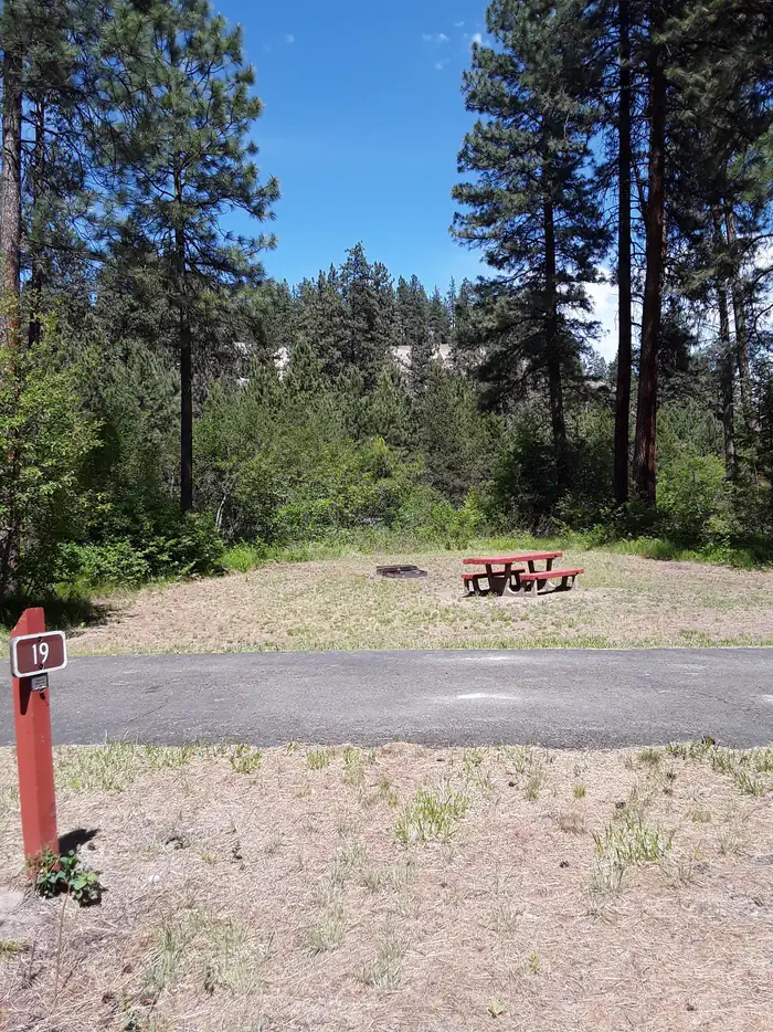
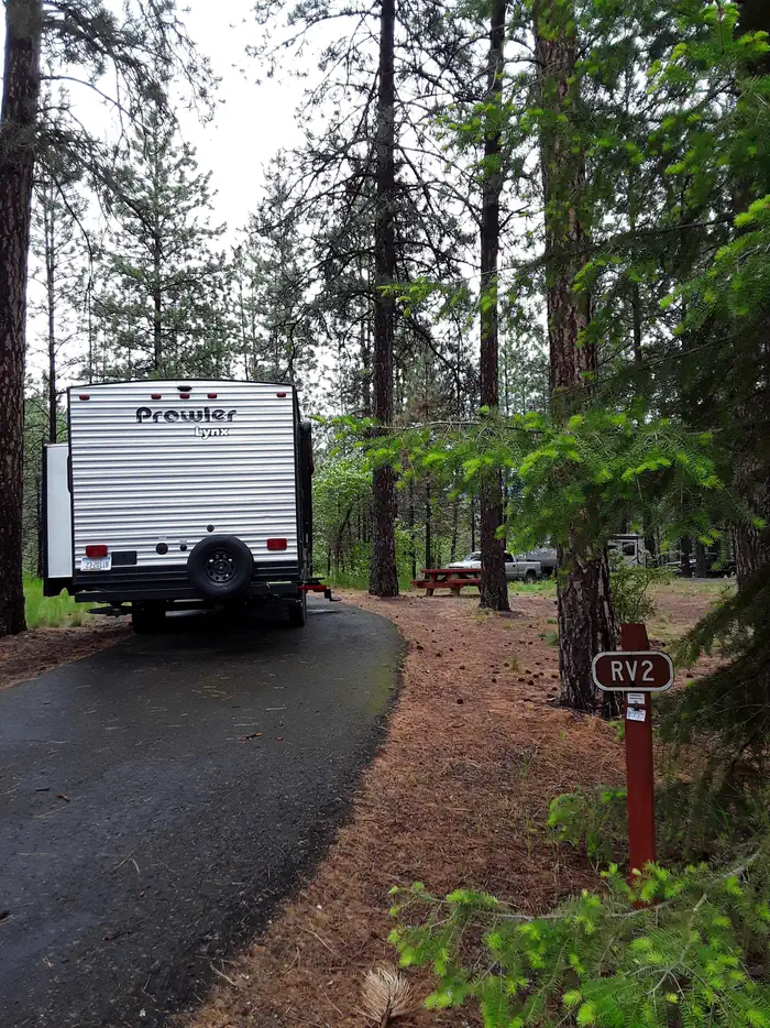
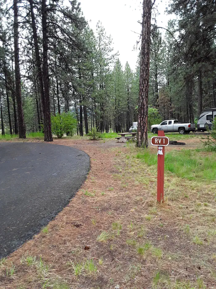
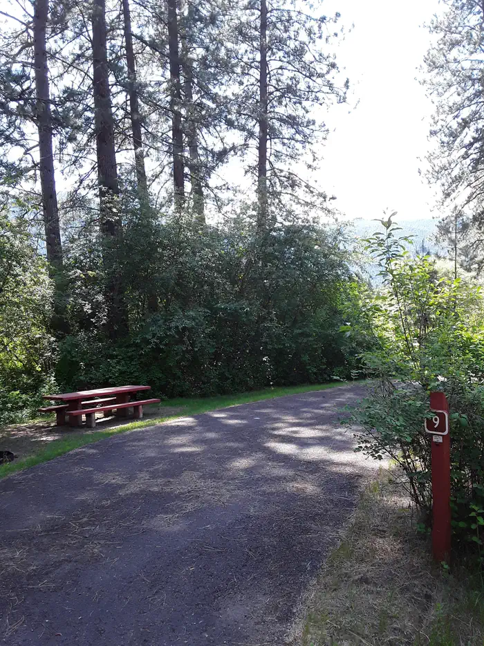
Online reservations for this facility, where offered, are made through Recreation.gov. Campsite Sniper has also detected 2 site openings here in the last 90 days, so further dates may appear. Pick a site on the map to see its calendar, or set a free Campsite Sniper alert. You complete the reservation yourself on Recreation.gov.
No. Campsite Sniper sends alerts and direct Recreation.gov links. It never books, pays for, holds, hoards, or resells reservations.
Campsite Sniper does not currently hold availability data for Sloway Campground (MT), so there is nothing to date here. That is a gap in coverage — it does not mean the facility is full or closed. Check Recreation.gov for current dates.
Campsite Sniper detected 1 site-date opening at Sloway Campground (MT) in the last 7 days, 2 over 30 days and 2 over the last 90.
20 of the 28 sites that support RV analysis have a recorded maximum of 35 ft or more; the longest recorded is 60 ft. 22 of those 28 sites have a recorded maximum length and 6 do not; they are not counted as fitting.
Lakefront, hookups, your RV length, weekends only - set it as picky as you want.
We run paced availability checks for Sloway Campground (MT). One watch covers every matching online-reservable site.
When a match opens, you get a push with a Recreation.gov link so you can review and book it yourself.
Alerts monitor online-reservable inventory only; first-come, first-served sites are not included.