Availability is not tracked here yet
The site details and map below come from the public Recreation.gov record and are accurate. For current dates and to book, go to Recreation.gov.
About Rocky Branch Day Use Park
Overview
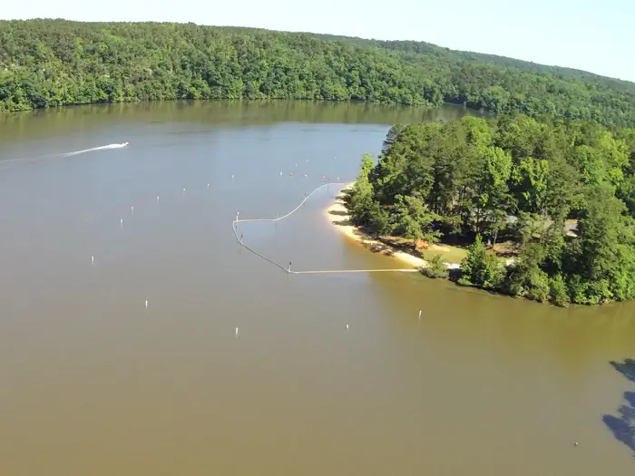
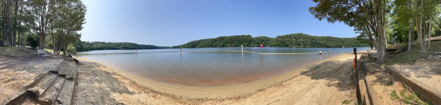
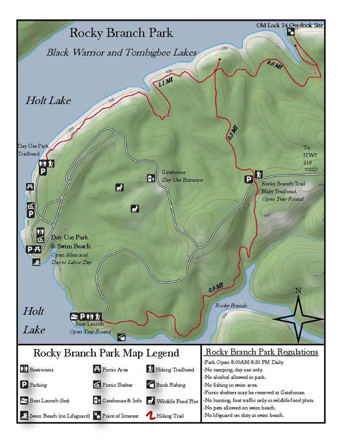
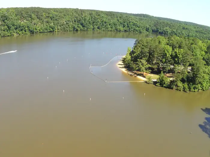
Rocky Branch Day use park is located on Holt Lake on the Black Warrior-Tombigbee Waterway northeast of Tuscaloosa, Alabama. The facility is in a beautiful forest along the shoreline, providing day-use visitors with access to water sports, boating, fishing, swimming, hiking and biking.
Recreation
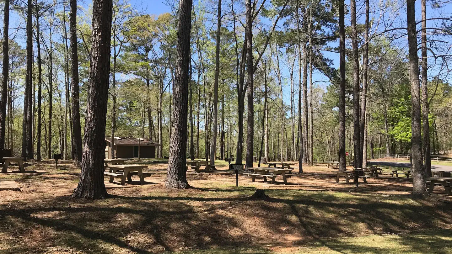
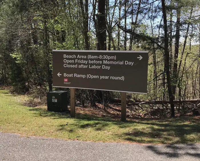
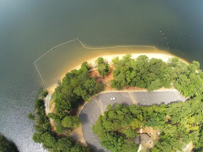
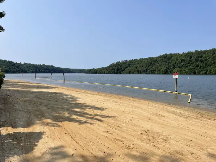
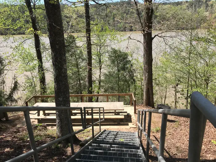
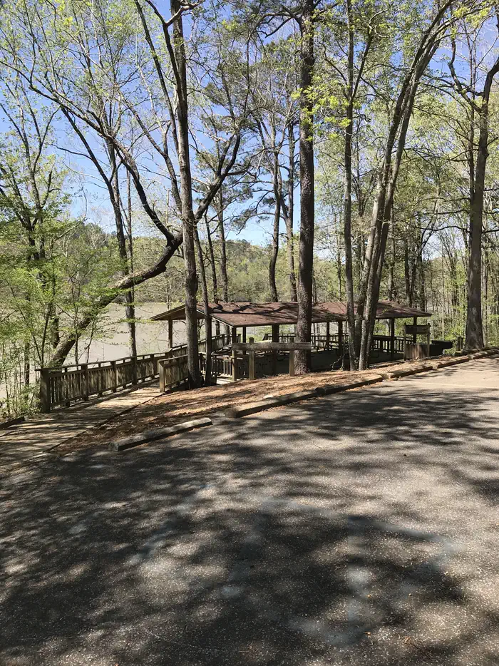
Day Users can explore the lake shore using the hiking trail as well as the swim beach. There are numerous picnic tables and grills to choose from as well as 2 reservable shelters for picnicking.
Facilities
Rocky Branch has 88 picnic sites to choose from with grills nearby. Two group shelters with grills, a water born bathroom as well as an improved and maintained swim beach available for users.
Natural Features
Holt Lake was created by the damming of the Black Warrior River. The campground is situated amidst a mixed pine and hardwood forest, which displays colorful foliage along the riverbanks each fall. Deer, squirrel, wild turkey, migratory birds and blue birds, all live in the Holt Lake area. The Black Warrior-Tombigbee Waterway consists of six lakes with a total length of 457 miles and 39,800 surface acres of water. Temperatures range from the 80s to 90s from April through September, and annual rainfall averages about 60 inches.
Getting there
Coming from Birmingham going south on I-20/59 in Alabama, take Exit 86 (Covered Bridge Road) toward Brookwood. Turn right on Covered Bridge Road and continue for 5.5 miles to traffic light. Turn left at traffic light onto Highway 216 and continue 3.6 miles. Turn right on Rocky Branch Road and continue 2.5 miles until you get to the park gates on your right. Coming from Tuscaloosa at the intersection of University Blvd and Veterans' Memorial Parkway, continue on Highway 216 for 7.4 miles. Turn left onto Rocky Branch Road and continue for 2.5 miles until you get to the park gate on your right.
View on Recreation.gov ↗ Get directions ↗
Photo gallery


FAQ
How do I get a reservation at Rocky Branch Day Use Park?
Online reservations for this facility, where offered, are made through Recreation.gov. Pick the shelter on the map to see its reservation calendar, or set a free Campsite Sniper alert. You complete the reservation yourself on Recreation.gov.
Does Campsite Sniper book this facility for me?
No. Campsite Sniper sends alerts and direct Recreation.gov links. It never books, pays for, holds, hoards, or resells reservations.
How current is this availability data?
Campsite Sniper does not currently hold availability data for Rocky Branch Day Use Park, so there is nothing to date here. That is a gap in coverage — it does not mean the facility is full or closed. Check Recreation.gov for current dates.
Let the app watch this shelter
Choose the reservation dates you want at Rocky Branch Day Use Park.
Campsite Sniper can monitor this facility and notify you if a selected date becomes available.
When a selected date becomes available, you get a push with a Recreation.gov link so you can review and book it yourself.