Openings · last 7 days
0
Pick a site on the map to see its site map.
The site details and map below come from the public Recreation.gov record and are accurate. For current dates and to book, go to Recreation.gov.
Sunday accounted for the largest share of the openings Campsite Sniper detected. 185 of 892 openings detected in the last 90 days occurred on a Sunday (20.7%), with Tuesday (133) and Wednesday (129) next in line.
The largest concentrations of detected openings were first detected during the 05:00 and 07:00 local-time hours. Those hours contained 423 of 892 detected openings (47.4%). Hours show when Campsite Sniper first detected each opening, in Pacific Time, not when the change was made upstream.
Half of the openings Campsite Sniper detected appeared at least 14 days before the stay date; the middle 50% land 14–14 days out. Set an alert if you want Campsite Sniper to monitor future openings.
| Site | Openings | Share of all openings |
|---|---|---|
| 017 | 23 | 2.6% |
| 013 | 22 | 2.5% |
| 025 | 22 | 2.5% |
| 010 | 21 | 2.4% |
| 026 | 20 | 2.2% |
Site 017 had the most detected openings in the last 90 days: 23. One free watch covers every site here.
Staying at Tamarack Flat Campground requires reservations.
Opening date for the Tamarack Flat Campground varies depending on the opening of the Tioga Road and related seasonal facility and road work.
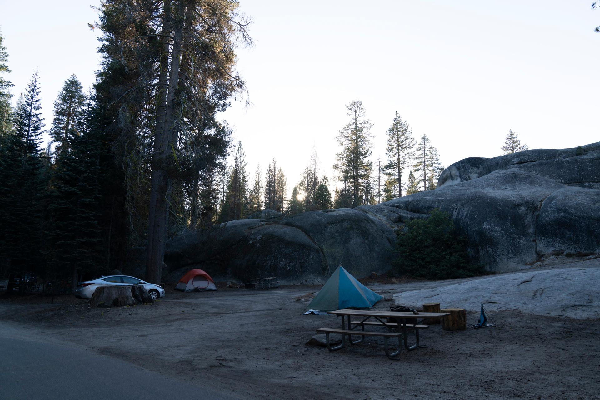
Tamarack Flat Campground is located off the Tioga Road just east of Crane Flat. The campground is approximately 20 miles (45 minutes) from Yosemite Valley and is tucked away in the forest 3 miles off Tioga Road. RVs and Trailers are not recommended for this hard to access, primitive campground. At an elevation of 6,300 feet (1,900 m) elevation, the campground is near Tamarack Creek, which is a seasonal water source that must be filtered, treated, or boiled. You should bring water!
For additional park information, call (209)372-0200 or visit www.nps.gov/yose
Yosemite's trails, cliffs, roads and rivers provide endless recreational activities for any kind of visitor. Hiking, biking, rock climbing, fishing, horseback riding, rafting, auto touring, and photography are all very popular activities within the park.
A hiking and backpacking trail leaves from the campground and can be used to hike to areas such as Cascade Creek, El Capitan and other points along the North Rim of Yosemite Valley.
Yosemite Valley is a 25 mile drive from Tamarack Flat Campground. Many of Yosemite's most popular trails along with the Merced River, bike trails, beaches and picnic areas can be easily accessed in Yosemite Valley.
Two of Yosemite's three groves of giant sequoias are located in the Crane Flat area (5-10 miles from Tamarack Flat). Tuolumne and Merced Groves of Giant Sequoias, both of which require a 2.5 to 3-mile roundtrip hike to view. The trailheads are accessible year-round, although trails may be snow-covered winter. Both short hikes lead downhill into sheltered areas with flowing water, dogwood, azaleas, and ancient sequoia trees.
Many other hiking opportunities exist at trailheads along the Tioga Road and in Tuolumne Meadows.
For additional park recreation information, visit www.nps.gov/yose/planyourvisit/
Tamarack Flat Campground can only by accessed by a 3 mile long, narrow, single-lane road with many hairpin turns. RVs and Trailers are NOT recommended.
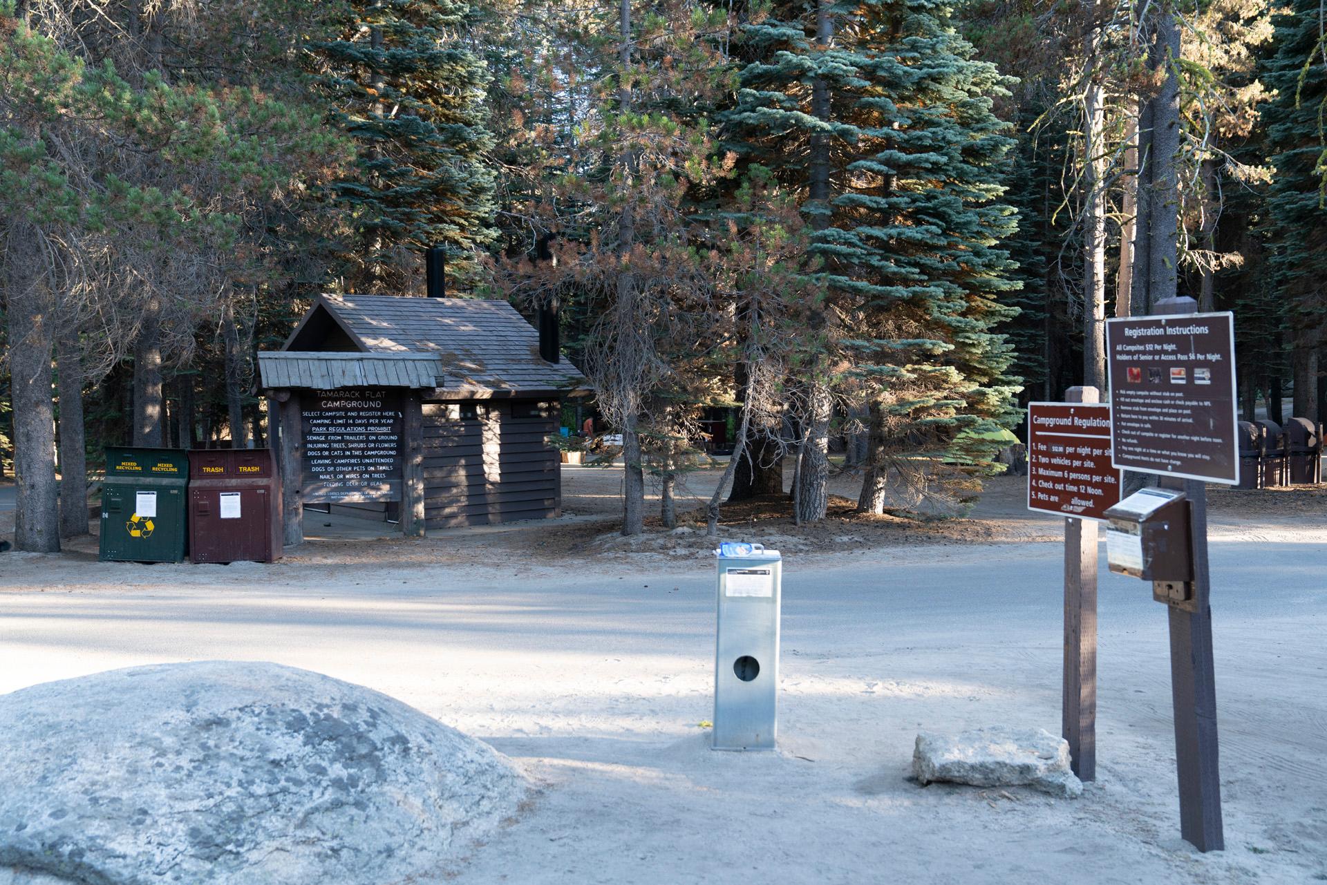
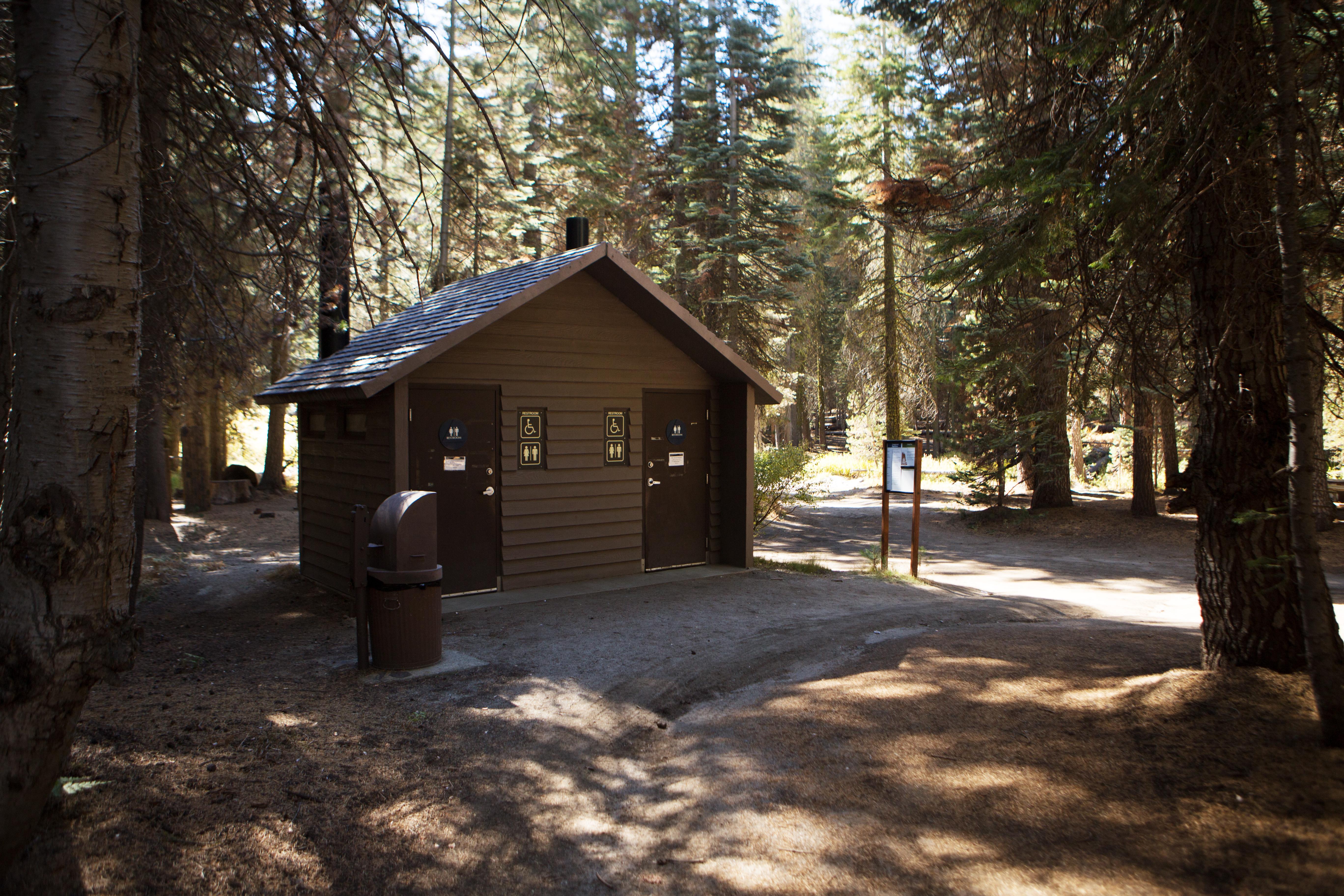
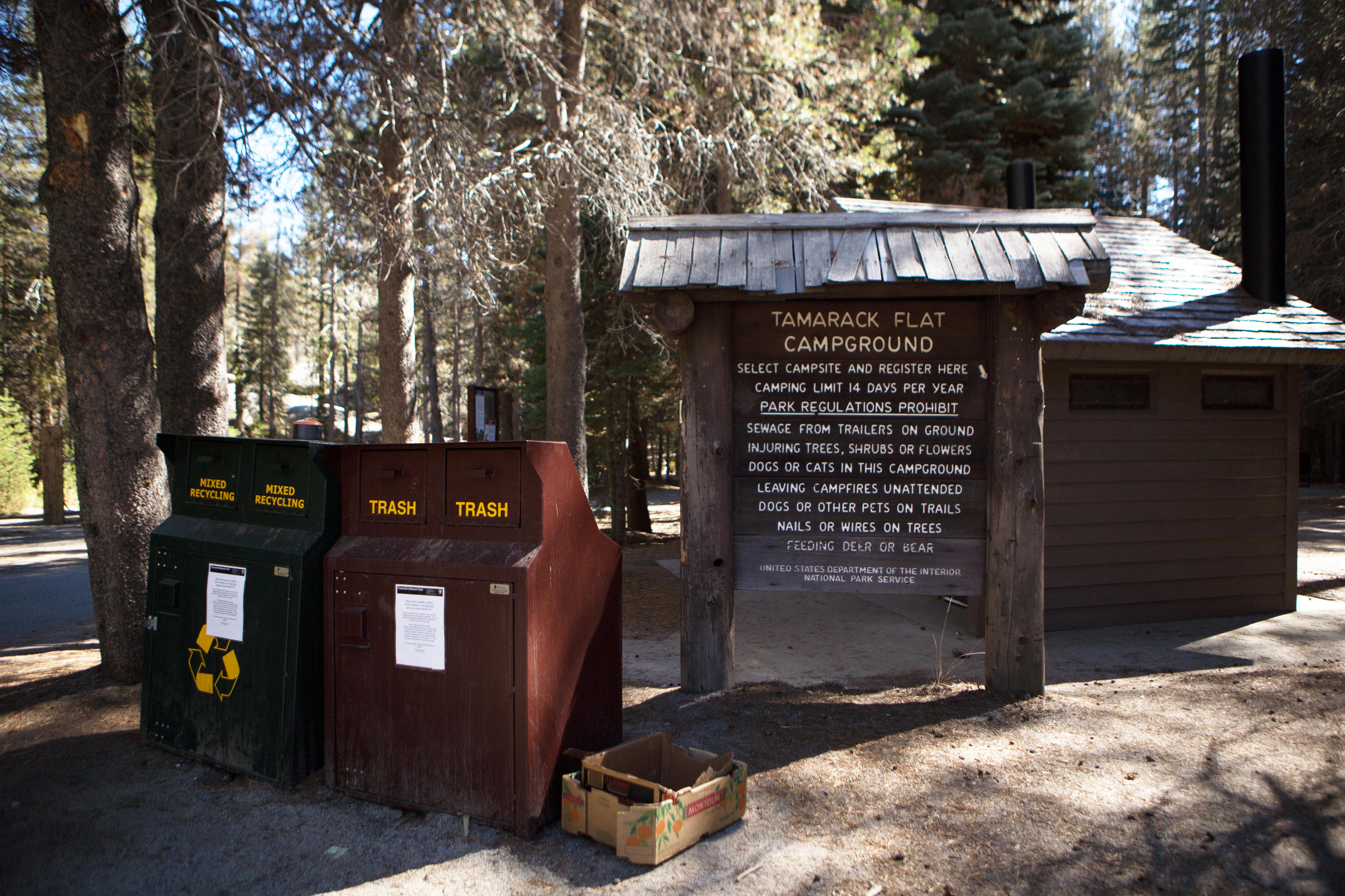
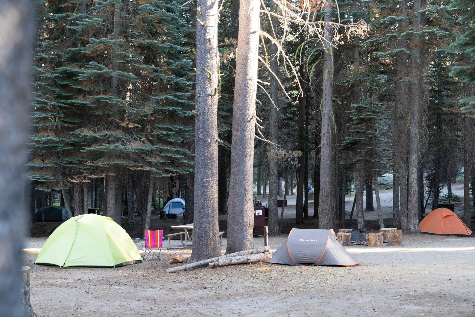
Seasonal facilities include tent/van sites, vault toilets, trash/recycling collection, food storage lockers, fire rings and picnic tables.
There is no cell phone reception, no internet connectivity, no camp store, no ice or firewood for sale, no laundry facilities, no dump station and no showers.
Yosemite National Park covers nearly 1,200 square miles (3,100 square km) in the Sierra Nevada, with elevations ranging from about 2,000 feet (600 m) to 13,000 ft (4,000 m). Yosemite receives 95% of its precipitation between October and May, and over 75% between November and March. Most of Yosemite is blanketed in snow from about November through May.
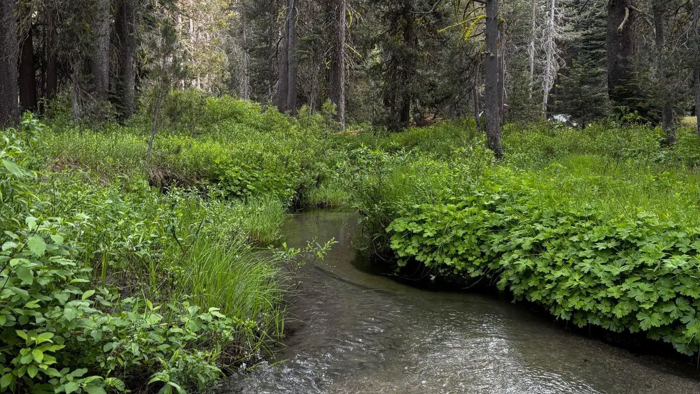
Tamarack Flat is situated along a seasonal creek which is it's only source of water. Creek water must be treated and/or boiled before consuming. You should bring water!
Just 25 miles away is Yosemite Valley, an awe-inspiring landscape containing many of the famous features for which Yosemite National Park is known. Hiking trails and bike paths are abundant in the valley. Rafting the Merced River is a fun way to cool down on a summer day when water levels are sufficient. Yosemite Valley also offers numerous guided bus tours, educational programs, museums, ranger-led activities, and an art center with workshops.
The Tioga Road offers a 39-mile scenic drive past forests, meadows, lakes and granite domes. Tuolumne Meadows embodies the high-country of the Sierra Nevada, with its broad sub-alpine meadows and granite peaks. Several trailheads line the road offering hikes to beautiful, secluded areas that can only be accessed and enjoyed by foot.
Beautiful Hetch Hetchy Reservoir, just 23 miles from Crane Flat, is home to spectacular scenery and numerous wilderness trailheads.
When entering Yosemite from west of the Sierras - Take Highway 41 north from Fresno, Highway 140 east from Merced, or Highway 120 east from Manteca into Yosemite National Park. When Tioga Pass is open, Tamarack Flat can be accessed from the east side of the Sierras - Take HWY 120 east/Tioga Rd. The Tamarack Flat access road is 36 miles west of Tuolumne Meadows. The Tamarack Flat Campground access road is located 5 miles east Crane Flat along the Tioga Rd. The access road itself is 3 miles long and is narrow, single lane and windy. Tamarack flat is 28 miles (45 minutes) northwest of Yosemite Valley.
View on Recreation.gov ↗ Get directions ↗


Online reservations for this facility, where offered, are made through Recreation.gov. Campsite Sniper has also detected 892 site openings here in the last 90 days, so further dates may appear. Pick a site on the map to see its calendar, or set a free Campsite Sniper alert. You complete the reservation yourself on Recreation.gov.
No. Campsite Sniper sends alerts and direct Recreation.gov links. It never books, pays for, holds, hoards, or resells reservations.
Campsite Sniper does not currently hold availability data for Tamarack Flat Campground, so there is nothing to date here. That is a gap in coverage — it does not mean the facility is full or closed. Check Recreation.gov for current dates.
Campsite Sniper detected 892 site-date openings here over the last 90 days, none in the last 7. A free alert watches around the clock and pings you the moment one appears.
Sunday accounted for the largest share of the openings Campsite Sniper detected in the last 90 days: 185 of 892 (20.7%). Days reflect when Campsite Sniper first detected each opening, not when the change occurred upstream.
No RV-analyzable site here has a recorded maximum of 35 ft or more; the longest recorded is 20 ft. 51 of those 53 sites have a recorded maximum length and 2 do not; they are not counted as fitting.
Half of the openings Campsite Sniper detected appeared at least 14 days before the stay date; the middle 50% landed 14-14 days out. Campsite Sniper can monitor future changes for dates you select.
Lakefront, hookups, your RV length, weekends only - set it as picky as you want.
We run paced availability checks for Tamarack Flat Campground. One watch covers every matching site.
When a match opens, you get a push with a Recreation.gov link so you can review and book it yourself.