Availability is not tracked here yet
The site details and map below come from the public Recreation.gov record and are accurate. For current dates and to book, go to Recreation.gov.
About Lower Narrows Campground
Overview
Upper Narrows Campground is located southwest of Grantsville, Utah, in South Willow Canyon at an elevation of 6,840 feet. Visitors enjoy exploring local trails.
Recreation
The multi-use Stansbury Front and Medina Flat Trails begin nearby, offering access to the rugged Deseret Peak Wilderness. Willow Creek offers rainbow and brown trout fishing.
Facilities
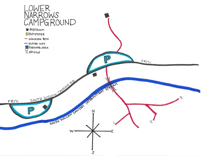
This campground has 3 single sites. This campground has vault restroom facilities. There is no water system in this campground, you will need to bring your own water.
Natural Features
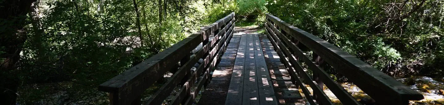
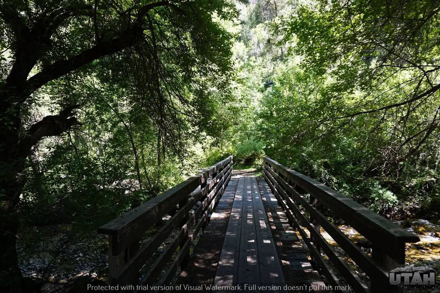
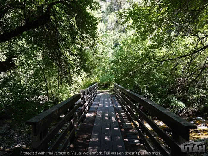
The remote desert canyon is forested with oak, maple, and juniper trees, which offer partial shade. Willow Creek runs alongside the site.
Nearby Attractions
South Willow Canyon Road is a very scenic drive in the Tooele County, in western Utah, USA. The road is mostly paved but becomes gravel at the National Forest boundary and winds through some very interesting narrows, but any vehicle should be able to make it.
The road is 7.1 miles long. The last 4 miles are unpaved. It’s noted for its fantastic wildlife. Along the road there are five forest service campgrounds. Snow can usually be found on the upper part of the trail from November to the middle of June. The road is pretty steep and narrow. Although the South Willow Canyon road is paved, it is pitted with chuckholes and is not recommended for trailer use. The road ends at an elevation of 7,470ft (2.276m) above the sea level, at the beginning of the Deseret Peak Trail.
Getting there
View on Recreation.gov ↗ Get directions ↗
Photo gallery


FAQ
How do I get a reservation at Lower Narrows Campground?
Online reservations for this facility, where offered, are made through Recreation.gov. Pick a site on the map to see its calendar, or set a free Campsite Sniper alert. You complete the reservation yourself on Recreation.gov.
Does Campsite Sniper book this campground for me?
No. Campsite Sniper sends alerts and direct Recreation.gov links. It never books, pays for, holds, hoards, or resells reservations.
How current is this availability data?
Campsite Sniper does not currently hold availability data for Lower Narrows Campground, so there is nothing to date here. That is a gap in coverage — it does not mean the facility is full or closed. Check Recreation.gov for current dates.
Stop refreshing. Let the app watch it.
Lakefront, hookups, your RV length, weekends only - set it as picky as you want.
We run paced availability checks for Lower Narrows Campground. One watch covers every matching site.
When a match opens, you get a push with a Recreation.gov link so you can review and book it yourself.